195 Clarks Bridge Rd Gainesville, GA 30501
Estimated Value: $1,625,000 - $2,499,309
4
Beds
5
Baths
5,270
Sq Ft
$396/Sq Ft
Est. Value
About This Home
This home is located at 195 Clarks Bridge Rd, Gainesville, GA 30501 and is currently estimated at $2,084,770, approximately $395 per square foot. 195 Clarks Bridge Rd is a home located in Hall County with nearby schools including Riverbend Elementary School, North Hall Middle School, and North Hall High School.
Ownership History
Date
Name
Owned For
Owner Type
Purchase Details
Closed on
Jun 24, 2024
Sold by
Houston Noah
Bought by
Wetzel Kevin D
Current Estimated Value
Home Financials for this Owner
Home Financials are based on the most recent Mortgage that was taken out on this home.
Original Mortgage
$2,300,000
Outstanding Balance
$1,726,953
Interest Rate
6.94%
Mortgage Type
New Conventional
Estimated Equity
$357,817
Purchase Details
Closed on
Jul 7, 2011
Sold by
Barron Benjamin Grover Wilson
Bought by
Houston Noah
Purchase Details
Closed on
Jan 7, 2004
Sold by
Barron Benjamin Haskel
Bought by
Grover Benjamin and Wilson Barron
Create a Home Valuation Report for This Property
The Home Valuation Report is an in-depth analysis detailing your home's value as well as a comparison with similar homes in the area
Home Values in the Area
Average Home Value in this Area
Purchase History
| Date | Buyer | Sale Price | Title Company |
|---|---|---|---|
| Wetzel Kevin D | $2,600,000 | -- | |
| Wetzel Kevin D | $2,600,000 | -- | |
| Houston Noah | $200,000 | -- | |
| Houston Noah | $200,000 | -- | |
| Grover Benjamin | -- | -- | |
| Grover Benjamin | -- | -- |
Source: Public Records
Mortgage History
| Date | Status | Borrower | Loan Amount |
|---|---|---|---|
| Open | Wetzel Kevin D | $2,300,000 |
Source: Public Records
Tax History Compared to Growth
Tax History
| Year | Tax Paid | Tax Assessment Tax Assessment Total Assessment is a certain percentage of the fair market value that is determined by local assessors to be the total taxable value of land and additions on the property. | Land | Improvement |
|---|---|---|---|---|
| 2025 | $21,258 | $889,600 | $557,320 | $332,280 |
| 2024 | $12,260 | $495,840 | $246,760 | $249,080 |
| 2023 | $11,544 | $447,840 | $207,800 | $240,040 |
| 2022 | $9,849 | $381,920 | $207,800 | $174,120 |
| 2021 | $8,625 | $328,160 | $162,360 | $165,800 |
| 2020 | $8,676 | $320,640 | $162,360 | $158,280 |
| 2019 | $7,955 | $340,360 | $188,440 | $151,920 |
| 2018 | $8,345 | $293,800 | $147,400 | $146,400 |
| 2017 | $7,990 | $298,480 | $161,680 | $136,800 |
| 2016 | $7,696 | $280,520 | $143,720 | $136,800 |
| 2015 | $7,758 | $280,520 | $143,720 | $136,800 |
| 2014 | $7,758 | $280,520 | $143,720 | $136,800 |
Source: Public Records
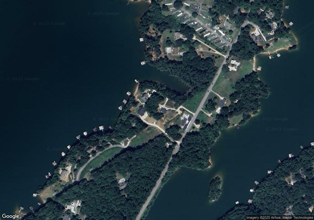
Map
Nearby Homes
- 3439 Clarks Bridge Rd
- 3149 Gulls Wharf Dr
- 3417 The Trail Rd
- 3150 Edgewater Dr
- 3184 Dockside Dr
- 150 Clarks Bridge Rd
- 1291 Russell Rd
- 3015 Pathway Rd
- 2890 Navajo Cir
- 2600 Ramsey Rd
- 1304 Pine Valley Rd
- 3464 Maynard Cir
- 2626 White Sulphur Rd
- 1540 Walter Stover Rd
- 2598 White Sulphur Rd
- 3786 Shades Valley Ln
- 2582 White Sulphur Rd
- 4701A Cleveland Hwy
- 4701A Cleveland Hwy Unit A
- 3481 Maynard Cir
- 191 Clarks Bridge Rd
- 189 Clarks Bridge Rd
- 210 Mandalay Rd
- 0 Mandalay Rd
- 0 Mandalay Rd Unit 7503876
- 0 Mandalay Rd Unit 7408225
- 0 Mandalay Rd Unit 5615392
- 110 Mandalay Rd
- 193 Clarks Bridge Rd
- 193 Clarks Bridge Rd
- 127 Mandalay Rd
- 199 Clarks Bridge Rd
- 125 Mandalay Rd
- 123 Mandalay Rd
- 123 Mandalay Rd
- 120 Mandalay Rd
- 188 Clarks Bridge Rd
- 197 Clarks Bridge Rd
- 121 Mandalay Rd
- 119 Mandalay Rd