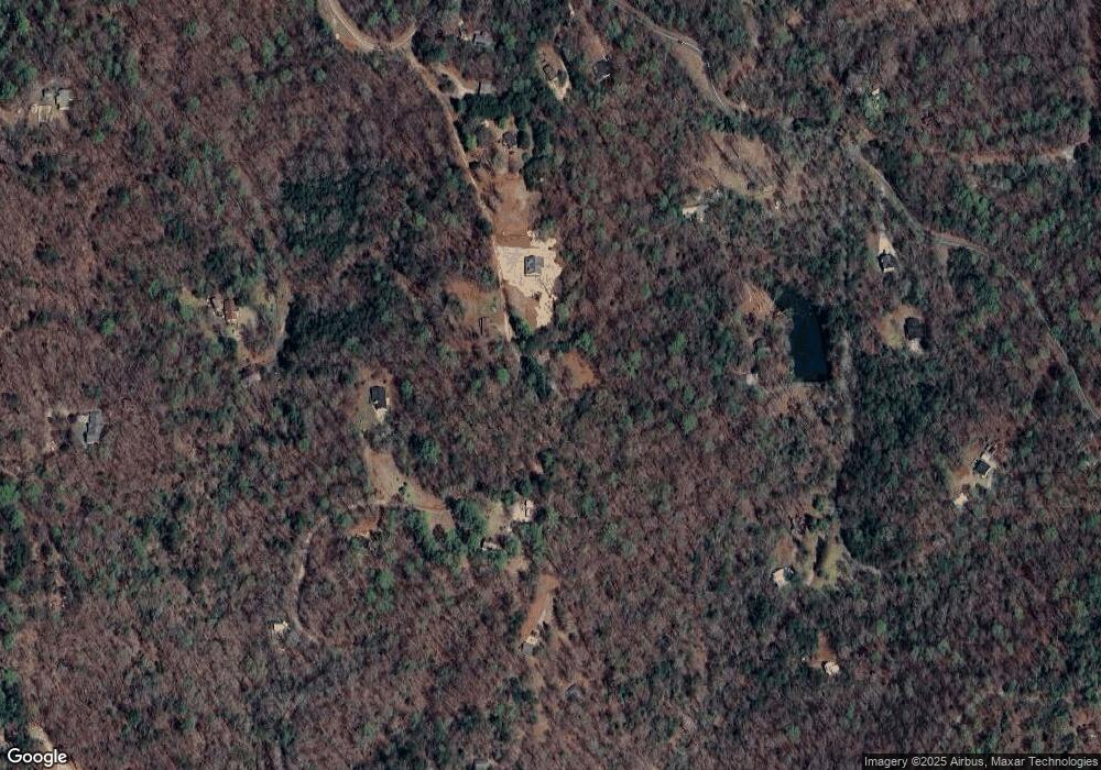
195 Forest Run Dahlonega, GA 30533
Estimated Value: $173,726 - $379,000
--
Bed
--
Bath
714
Sq Ft
$341/Sq Ft
Est. Value
About This Home
This home is located at 195 Forest Run, Dahlonega, GA 30533 and is currently estimated at $243,432, approximately $340 per square foot. 195 Forest Run is a home with nearby schools including Clay County Middle School and Lumpkin County High School.
Ownership History
Date
Name
Owned For
Owner Type
Purchase Details
Closed on
Apr 14, 2021
Sold by
Chi Tawn Estate
Bought by
Smith Mera Ariel
Current Estimated Value
Home Financials for this Owner
Home Financials are based on the most recent Mortgage that was taken out on this home.
Original Mortgage
$128,787
Outstanding Balance
$116,279
Interest Rate
3%
Mortgage Type
New Conventional
Estimated Equity
$127,153
Purchase Details
Closed on
Sep 6, 1996
Sold by
Sanders Clark
Bought by
Burch Tawn C
Purchase Details
Closed on
Oct 14, 1994
Sold by
Sanders Clark
Bought by
Burch Tawn
Purchase Details
Closed on
May 30, 1990
Bought by
Sanders Clark
Create a Home Valuation Report for This Property
The Home Valuation Report is an in-depth analysis detailing your home's value as well as a comparison with similar homes in the area
Home Values in the Area
Average Home Value in this Area
Purchase History
| Date | Buyer | Sale Price | Title Company |
|---|---|---|---|
| Smith Mera Ariel | $127,500 | -- | |
| Burch Tawn C | $4,000 | -- | |
| Burch Tawn | $16,000 | -- | |
| Sanders Clark | -- | -- | |
| Sanders Clark | $9,300 | -- |
Source: Public Records
Mortgage History
| Date | Status | Borrower | Loan Amount |
|---|---|---|---|
| Open | Smith Mera Ariel | $128,787 |
Source: Public Records
Tax History Compared to Growth
Tax History
| Year | Tax Paid | Tax Assessment Tax Assessment Total Assessment is a certain percentage of the fair market value that is determined by local assessors to be the total taxable value of land and additions on the property. | Land | Improvement |
|---|---|---|---|---|
| 2024 | $1,070 | $44,485 | $17,000 | $27,485 |
| 2023 | $978 | $41,561 | $15,888 | $25,673 |
| 2022 | $890 | $35,931 | $13,242 | $22,689 |
| 2021 | $826 | $32,258 | $13,242 | $19,016 |
| 2020 | $823 | $31,197 | $12,686 | $18,511 |
| 2019 | $831 | $31,197 | $12,686 | $18,511 |
| 2018 | $827 | $29,152 | $12,686 | $16,466 |
| 2017 | $841 | $29,075 | $12,686 | $16,389 |
| 2016 | $810 | $27,077 | $12,686 | $14,391 |
| 2015 | $720 | $27,137 | $12,686 | $14,451 |
| 2014 | $720 | $27,319 | $12,686 | $14,632 |
| 2013 | -- | $27,674 | $12,686 | $14,988 |
Source: Public Records
Map
Nearby Homes
- 03 Kate Rd
- 496 Beaver Dam Rd
- 0 Porter Springs Rd Unit 7685063
- 0 Porter Springs Rd Unit 10648400
- 165 Porter Springs Rd
- 302 Pointe Cir
- 372 Porter Springs Rd
- 1323 Cavender Creek Rd
- 300 Mountain Ridge Dr
- 0 Bearden Rd Unit 10598024
- 0 Bearden Rd Unit 7642996
- 7.123 Acres Halls Mill Rd
- 0 Winters Mountain Rd Unit 7681054
- 0 Winters Mountain Rd Unit 10643431
- 83 Austin Ct
- 0 Arborwood Dr Unit 10645890
- 85 Summit Canyon Rd Unit H102
- 00 LOT C Cavender Creek Rd
- 1228 Winters Mountain Rd
- 00 Captain McDonald Rd
- 99 Forest Run
- 340 Forest Run
- 114 Spring Valley Trace
- 40 Spring Valley Trace
- 79 Forest Run
- 251 Forest Run
- 238 Spring Valley Trace
- 366 Spring Valley Trace
- 22 Bryans Way
- 100 Forest Rd
- 34 Bryans Way
- 468 Rocktree Rd
- 100 Forest Run
- 427 Forest Run
- 109 Spring Valley Trace
- 440 Forest Run
- 704 Rocktree Rd
- 0 Spring Valley Trace
- 0 Spring Valley Trace Unit 7007211
- 0 Spring Valley Trace Unit 3197575
