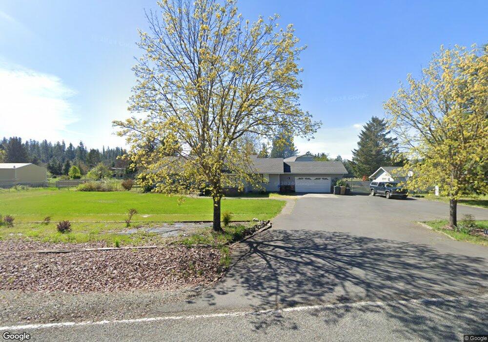
195 Polaris Cir Merlin, OR 97532
Merlin NeighborhoodEstimated Value: $490,000 - $527,022
3
Beds
3
Baths
2,279
Sq Ft
$223/Sq Ft
Est. Value
About This Home
This home is located at 195 Polaris Cir, Merlin, OR 97532 and is currently estimated at $508,511, approximately $223 per square foot. 195 Polaris Cir is a home located in Josephine County with nearby schools including Manzanita Elementary School, Fleming Middle School, and North Valley High School.
Ownership History
Date
Name
Owned For
Owner Type
Purchase Details
Closed on
May 4, 2021
Sold by
Mcmeekin Brenda Ann
Bought by
Mclaughlin Mitchell
Current Estimated Value
Home Financials for this Owner
Home Financials are based on the most recent Mortgage that was taken out on this home.
Original Mortgage
$382,500
Outstanding Balance
$345,903
Interest Rate
3.1%
Mortgage Type
New Conventional
Estimated Equity
$162,608
Purchase Details
Closed on
Sep 17, 2009
Sold by
Sklarski Michael
Bought by
Sklarski Michael
Purchase Details
Closed on
Dec 29, 2005
Sold by
Sklarski Michael and Price Sklarski Arline M
Bought by
Sklarski Michael and Price Sklarski Arline M
Purchase Details
Closed on
May 17, 2005
Sold by
Smith Marlene
Bought by
Smith Marlene Davis and Smith Living Trust
Create a Home Valuation Report for This Property
The Home Valuation Report is an in-depth analysis detailing your home's value as well as a comparison with similar homes in the area
Home Values in the Area
Average Home Value in this Area
Purchase History
| Date | Buyer | Sale Price | Title Company |
|---|---|---|---|
| Mclaughlin Mitchell | $450,000 | First American | |
| Sklarski Michael | -- | None Available | |
| Sklarski Michael | -- | -- | |
| Smith Marlene Davis | -- | -- |
Source: Public Records
Mortgage History
| Date | Status | Borrower | Loan Amount |
|---|---|---|---|
| Open | Mclaughlin Mitchell | $382,500 |
Source: Public Records
Tax History Compared to Growth
Tax History
| Year | Tax Paid | Tax Assessment Tax Assessment Total Assessment is a certain percentage of the fair market value that is determined by local assessors to be the total taxable value of land and additions on the property. | Land | Improvement |
|---|---|---|---|---|
| 2025 | $2,930 | $406,690 | -- | -- |
| 2024 | $2,930 | $394,850 | -- | -- |
| 2023 | $2,394 | $383,350 | $0 | $0 |
| 2022 | $2,417 | $372,190 | -- | -- |
| 2021 | $2,266 | $361,350 | $0 | $0 |
| 2020 | $2,363 | $350,830 | $0 | $0 |
| 2019 | $2,268 | $340,620 | $0 | $0 |
| 2018 | $2,300 | $330,700 | $0 | $0 |
| 2017 | $2,299 | $321,070 | $0 | $0 |
| 2016 | $1,947 | $311,720 | $0 | $0 |
| 2015 | $1,880 | $302,650 | $0 | $0 |
| 2014 | $1,832 | $293,840 | $0 | $0 |
Source: Public Records
Map
Nearby Homes
- 165 Sunbeam Cir
- 387 Tavis Dr
- 335 Tavis Dr
- 298 Tavis Dr
- 1266 Ellison Loop
- 1222 Ellison Loop
- 185 Peach St
- 171 Almond St
- 0 Acorn St Unit Lot 1
- 0 Acorn St Unit Lot 3
- 0 Acorn St Unit Lot2
- 143 Jonathon Ln
- 231 Acorn St
- 221 Acorn St
- 370 Becklin Dr
- 0 Ellison Loop Unit 28
- 1740 Hugo Rd
- 1730 Hugo Rd
- 329 Merlin Rd
- 755 Ort Ln
- 207 Polaris Cir
- 230 Enterprise Ave
- 190 Polaris Cir
- 208 Enterprise Ave
- 192 Sunbeam Cir
- 274 Enterprise Ave
- 198 Sunbeam Cir
- 180 Enterprise Ave
- 210 Polaris Cir
- 245 Polaris Cir
- 298 Enterprise Ave
- 267 Polaris Cir
- 255 Enterprise Ave
- 212 Sunbeam Cir
- 240 Polaris Cir
- 391 Tavis Dr
- 221 Enterprise Ave
- 187 Sunbeam Cir
- 100 3rd St
- 281 Enterprise Ave