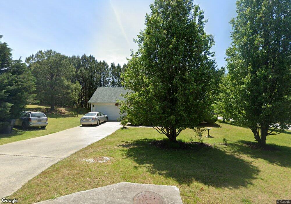
195 Railside Dr Covington, GA 30014
Estimated Value: $259,000 - $313,000
Studio
2
Baths
1,591
Sq Ft
$178/Sq Ft
Est. Value
About This Home
This home is located at 195 Railside Dr, Covington, GA 30014 and is currently estimated at $283,008, approximately $177 per square foot. 195 Railside Dr is a home located in Newton County with nearby schools including Heard-Mixon Elementary School, Cousins Middle School, and Eastside High School.
Ownership History
Date
Name
Owned For
Owner Type
Purchase Details
Closed on
Apr 30, 2007
Sold by
R & B Const Inc
Bought by
Braswell Clayton and Braswell Linda M
Current Estimated Value
Home Financials for this Owner
Home Financials are based on the most recent Mortgage that was taken out on this home.
Original Mortgage
$132,243
Outstanding Balance
$78,543
Interest Rate
6.1%
Mortgage Type
FHA
Estimated Equity
$204,465
Create a Home Valuation Report for This Property
The Home Valuation Report is an in-depth analysis detailing your home's value as well as a comparison with similar homes in the area
Home Values in the Area
Average Home Value in this Area
Purchase History
| Date | Buyer | Sale Price | Title Company |
|---|---|---|---|
| Braswell Clayton | $134,400 | -- |
Source: Public Records
Mortgage History
| Date | Status | Borrower | Loan Amount |
|---|---|---|---|
| Open | Braswell Clayton | $132,243 |
Source: Public Records
Tax History
| Year | Tax Paid | Tax Assessment Tax Assessment Total Assessment is a certain percentage of the fair market value that is determined by local assessors to be the total taxable value of land and additions on the property. | Land | Improvement |
|---|---|---|---|---|
| 2025 | $2,834 | $117,280 | $15,200 | $102,080 |
| 2024 | $2,760 | $109,960 | $15,200 | $94,760 |
| 2023 | $2,698 | $100,640 | $6,400 | $94,240 |
| 2022 | $2,186 | $81,760 | $6,400 | $75,360 |
| 2021 | $2,036 | $68,640 | $6,400 | $62,240 |
| 2020 | $1,716 | $52,880 | $6,400 | $46,480 |
| 2019 | $1,467 | $44,840 | $6,400 | $38,440 |
| 2018 | $1,137 | $34,960 | $5,000 | $29,960 |
| 2017 | $1,148 | $35,280 | $3,800 | $31,480 |
| 2016 | $1,148 | $35,280 | $3,800 | $31,480 |
| 2015 | $1,027 | $31,800 | $3,200 | $28,600 |
| 2014 | $1,025 | $31,800 | $0 | $0 |
Source: Public Records
Map
Nearby Homes
- 25 Scarlett Ct
- 324 Piper Rd
- 0 Piper Rd Unit 7693971
- 0 Piper Rd Unit 10659921
- 10717 Highway 36
- 13268 Tolstoy Ln
- 20 Kestrel Cir
- 370 Granary Walk
- 18 River Walk Farm Pkwy
- 85 Bellerive Ln SE
- 7713 Fawn Cir
- 7713 Fawn Cir Unit 51
- 7703 Fawn Cir
- 35 Crossbill Trail
- 10184 Malcolm Dr
- 60 Laurie Ln
- 10110 Malcolm Ct
- 0 Briarpatch Dr Unit 10562648
- 200 Hidden Pines Dr
- 25 Lena Ct
Your Personal Tour Guide
Ask me questions while you tour the home.