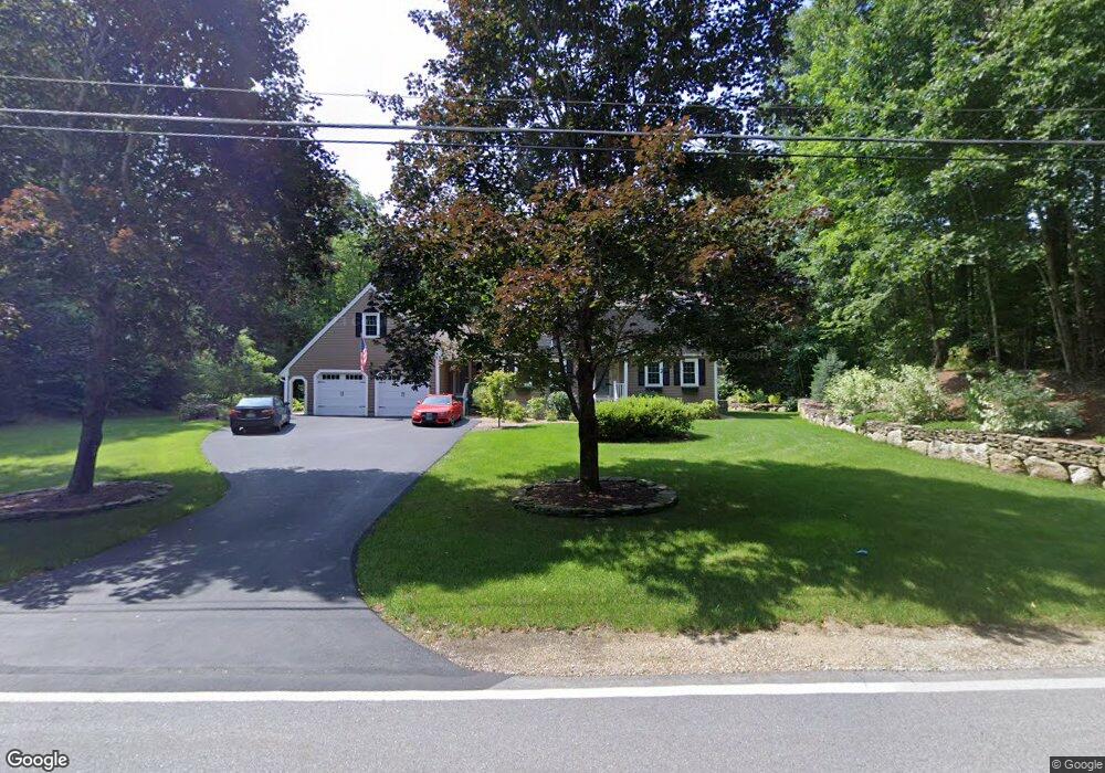
195 Spofford Rd Auburn, NH 03032
Estimated Value: $731,000 - $825,000
3
Beds
3
Baths
3,371
Sq Ft
$234/Sq Ft
Est. Value
About This Home
This home is located at 195 Spofford Rd, Auburn, NH 03032 and is currently estimated at $788,575, approximately $233 per square foot. 195 Spofford Rd is a home located in Rockingham County with nearby schools including Auburn Village School, Pinkerton Academy, and Mont Blanc Academy.
Ownership History
Date
Name
Owned For
Owner Type
Purchase Details
Closed on
Oct 26, 2022
Sold by
Daprix Thomas F
Bought by
Thomas F Daprix Jr T
Current Estimated Value
Purchase Details
Closed on
May 29, 2002
Sold by
Glennan Richard N and Glennan Jane M
Bought by
Daprix Thomas F
Home Financials for this Owner
Home Financials are based on the most recent Mortgage that was taken out on this home.
Original Mortgage
$280,750
Interest Rate
7%
Create a Home Valuation Report for This Property
The Home Valuation Report is an in-depth analysis detailing your home's value as well as a comparison with similar homes in the area
Home Values in the Area
Average Home Value in this Area
Purchase History
| Date | Buyer | Sale Price | Title Company |
|---|---|---|---|
| Thomas F Daprix Jr T | -- | None Available | |
| Daprix Thomas F | $295,000 | -- |
Source: Public Records
Mortgage History
| Date | Status | Borrower | Loan Amount |
|---|---|---|---|
| Previous Owner | Daprix Thomas F | $230,000 | |
| Previous Owner | Daprix Thomas F | $292,800 | |
| Previous Owner | Daprix Thomas F | $65,000 | |
| Previous Owner | Daprix Thomas F | $280,750 |
Source: Public Records
Tax History Compared to Growth
Tax History
| Year | Tax Paid | Tax Assessment Tax Assessment Total Assessment is a certain percentage of the fair market value that is determined by local assessors to be the total taxable value of land and additions on the property. | Land | Improvement |
|---|---|---|---|---|
| 2024 | $9,407 | $698,400 | $219,500 | $478,900 |
| 2023 | $8,807 | $698,400 | $219,500 | $478,900 |
| 2022 | $8,302 | $465,100 | $162,800 | $302,300 |
| 2021 | $8,437 | $465,100 | $162,800 | $302,300 |
| 2020 | $4,199 | $465,100 | $162,800 | $302,300 |
| 2019 | $8,749 | $465,100 | $162,800 | $302,300 |
| 2018 | $7,935 | $465,100 | $162,800 | $302,300 |
| 2017 | $7,030 | $332,400 | $155,700 | $176,700 |
| 2016 | $6,731 | $332,400 | $155,700 | $176,700 |
| 2015 | $6,677 | $322,400 | $155,700 | $166,700 |
| 2014 | $6,870 | $322,400 | $155,700 | $166,700 |
| 2013 | $6,263 | $319,700 | $155,700 | $164,000 |
Source: Public Records
Map
Nearby Homes
- 53 Tanglewood Dr
- #1 the Cliffs at Evergreen Dr
- Lot 4 Lovers Ln
- 33 Bunker Hill Rd
- 30 Windsor Dr
- 74 Nolls Farm Rd
- 54 the Cliffs at Evergreen Dr
- 59 Hawthorne Dr
- 179 Windsor Dr
- 184 Windsor Dr
- 62 Hooksett Rd
- 59 Hooksett Rd
- 6 Torey Place
- 628 Megan Dr
- 3 Bellflower Hollow
- 612 Megan Dr
- 40 Pinyon Place
- 70 Pinyon Place
- 67 Pinyon Place
- 361 Aaron Dr
- 203 Spofford Rd
- 4-32 Spofford Rd
- 0 Spofford Rd
- 217 Spofford Rd
- 207 Spofford Rd
- 235 Spofford Rd
- 241 Spofford Rd
- 223 Spofford Rd
- 17 Wildwood Rd
- 6 Wildwood Rd
- 25 Wildwood Rd
- 12 Wildwood Rd
- 75 Spofford Rd
- 74 Spofford Rd
- 96 Spofford Rd
- 61 Spofford Rd
- 301 Spofford Rd
- 43 Spofford Rd
- 43 Spofford Rd
- 180 Appletree Rd