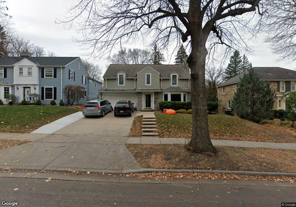
1950 1950 Bayard Ave St. Paul, MN 55116
Highland Park NeighborhoodEstimated Value: $905,806 - $1,004,000
5
Beds
5
Baths
3,148
Sq Ft
$301/Sq Ft
Est. Value
About This Home
This home is located at 1950 1950 Bayard Ave, St. Paul, MN 55116 and is currently estimated at $948,952, approximately $301 per square foot. 1950 1950 Bayard Ave is a home located in Ramsey County with nearby schools including Horace Mann School, Highland Park Middle School, and Highland Park Senior High.
Ownership History
Date
Name
Owned For
Owner Type
Purchase Details
Closed on
Oct 2, 2018
Sold by
Slinin Yelena and Khodursky Arkady
Bought by
Mooney Sean M and Mooney Shari J
Current Estimated Value
Home Financials for this Owner
Home Financials are based on the most recent Mortgage that was taken out on this home.
Original Mortgage
$200,000
Outstanding Balance
$124,219
Interest Rate
4.5%
Mortgage Type
New Conventional
Estimated Equity
$824,733
Create a Home Valuation Report for This Property
The Home Valuation Report is an in-depth analysis detailing your home's value as well as a comparison with similar homes in the area
Home Values in the Area
Average Home Value in this Area
Purchase History
| Date | Buyer | Sale Price | Title Company |
|---|---|---|---|
| Mooney Sean M | $718,000 | Edina Realty Title Inc |
Source: Public Records
Mortgage History
| Date | Status | Borrower | Loan Amount |
|---|---|---|---|
| Open | Mooney Sean M | $200,000 |
Source: Public Records
Tax History Compared to Growth
Tax History
| Year | Tax Paid | Tax Assessment Tax Assessment Total Assessment is a certain percentage of the fair market value that is determined by local assessors to be the total taxable value of land and additions on the property. | Land | Improvement |
|---|---|---|---|---|
| 2025 | $13,368 | $873,100 | $223,800 | $649,300 |
| 2023 | $13,368 | $808,100 | $223,800 | $584,300 |
| 2022 | $12,572 | $777,400 | $223,800 | $553,600 |
| 2021 | $12,000 | $730,700 | $223,800 | $506,900 |
| 2020 | $12,886 | $724,200 | $223,800 | $500,400 |
| 2019 | $12,124 | $721,900 | $290,900 | $431,000 |
| 2018 | $12,640 | $677,500 | $290,900 | $386,600 |
| 2017 | $12,050 | $713,200 | $290,900 | $422,300 |
| 2016 | $11,452 | $0 | $0 | $0 |
| 2015 | $12,216 | $640,200 | $249,300 | $390,900 |
| 2014 | $11,100 | $0 | $0 | $0 |
Source: Public Records
Map
Nearby Homes
- 1885 W Eleanor Ave
- 677 Wilder St S
- 1941 Ford Pkwy Unit 102
- 1856 Highland Pkwy
- 590 Fairview Ave S
- 1857 Ford Pkwy
- 1852 James Ave
- 1736 Scheffer Ave
- 1778 Ford Pkwy
- 1776 Ford Pkwy
- 2114 Randolph Ave
- 898 Wilder St S
- 1712 Highland Pkwy
- 1797 James Ave
- 1841 W Saunders Ave
- 1705 Ford Pkwy
- 1846 Saunders Ave
- 1818 Juliet Ave
- 1886 Rome Ave
- 475 Mount Curve Blvd
- 1950 Bayard Ave
- 1958 Bayard Ave
- 1944 Bayard Ave
- 662 Sumner St
- 1947 Bayard Ave
- 1957 1957 Bayard Ave
- 1957 Bayard Ave
- 1943 Bayard Ave
- 1961 Bayard Ave
- 668 Sumner St
- 1939 Bayard Ave
- 665 Prior Ave S
- 1932 Bayard Ave
- 1965 Bayard Ave
- 651 Sumner St
- 1935 Bayard Ave
- 672 Sumner St
- 657 Sumner St
- 660 Prior Ave S
- 663 Sumner St