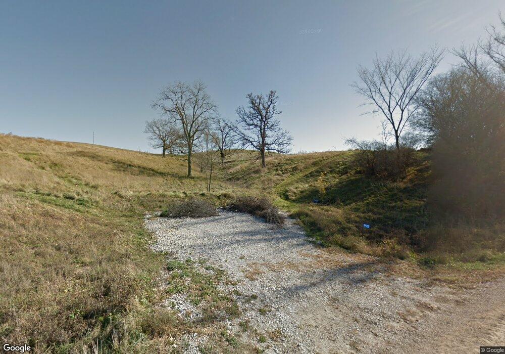
19502 Kava Rd Preston, MN 55965
Estimated Value: $284,000 - $466,000
--
Bed
--
Bath
1,210
Sq Ft
$293/Sq Ft
Est. Value
About This Home
This home is located at 19502 Kava Rd, Preston, MN 55965 and is currently estimated at $355,042, approximately $293 per square foot. 19502 Kava Rd is a home with nearby schools including Fillmore Central Elementary School and Fillmore Central Senior High School.
Ownership History
Date
Name
Owned For
Owner Type
Purchase Details
Closed on
Aug 8, 2014
Sold by
Krudwig Sean Sean
Bought by
Szamocki Julie Julie
Current Estimated Value
Home Financials for this Owner
Home Financials are based on the most recent Mortgage that was taken out on this home.
Original Mortgage
$32,400
Outstanding Balance
$24,733
Interest Rate
4.14%
Estimated Equity
$330,309
Create a Home Valuation Report for This Property
The Home Valuation Report is an in-depth analysis detailing your home's value as well as a comparison with similar homes in the area
Home Values in the Area
Average Home Value in this Area
Purchase History
| Date | Buyer | Sale Price | Title Company |
|---|---|---|---|
| Szamocki Julie Julie | $36,000 | -- |
Source: Public Records
Mortgage History
| Date | Status | Borrower | Loan Amount |
|---|---|---|---|
| Open | Szamocki Julie Julie | $32,400 |
Source: Public Records
Tax History Compared to Growth
Tax History
| Year | Tax Paid | Tax Assessment Tax Assessment Total Assessment is a certain percentage of the fair market value that is determined by local assessors to be the total taxable value of land and additions on the property. | Land | Improvement |
|---|---|---|---|---|
| 2025 | $1,462 | $326,000 | $79,700 | $246,300 |
| 2024 | $1,462 | $221,400 | $54,300 | $167,100 |
| 2023 | $1,606 | $221,400 | $54,300 | $167,100 |
| 2022 | $1,606 | $264,200 | $101,600 | $162,600 |
| 2021 | $1,606 | $209,300 | $71,800 | $137,500 |
| 2020 | $1,460 | $209,300 | $71,800 | $137,500 |
| 2019 | $1,116 | $112,800 | $71,800 | $41,000 |
| 2018 | $174 | $112,800 | $71,800 | $41,000 |
| 2017 | -- | $17,300 | $17,300 | $0 |
| 2016 | $158 | $14,300 | $14,300 | $0 |
| 2015 | $162 | $16,700 | $16,700 | $0 |
| 2014 | $162 | $16,100 | $16,100 | $0 |
| 2013 | $162 | $15,500 | $15,500 | $0 |
Source: Public Records
Map
Nearby Homes
- Township Road 301
- 929 Overlook Dr
- 1013 Overlook Dr
- 1024 Overlook Dr
- 936 Overlook Dr
- 913 Overlook Dr
- 928 Overlook Dr NW
- 108 Saint Paul St SW
- 108 Saint Paul St NW
- 1002 Golfview Dr
- 1018 Golfview Dr
- 1010 Golfview Dr
- 1110 Golfview Dr
- 1118 Golfview Dr
- 996 Golfview Dr
- 1024 Golfview Dr
- 1003 Sunset Rd
- 109 Valley St NW
- 213 North St NE
- 315 Oak Dr NW
- XXXX Kava Rd
- 19322 Kava Rd
- 19708 Kava Rd
- 19762 Kava Rd
- 19047 Kava Rd
- 25105 County 14
- 25061 County 14
- 25251 County 14
- 19876 Kodiac Rd
- 203 N Center Alley NE
- Lot 1, Blk2 Golfview Dr
- Lot 4 Blk1 Golfview Dr
- Lot 2 Blk1 Golfview Dr
- 20212 Kava Rd
- 24861 County 14
- XXXXX 231st Ave
- 25995 County 14
- 19023 Kodiac Rd
- 19767 261st Ave
