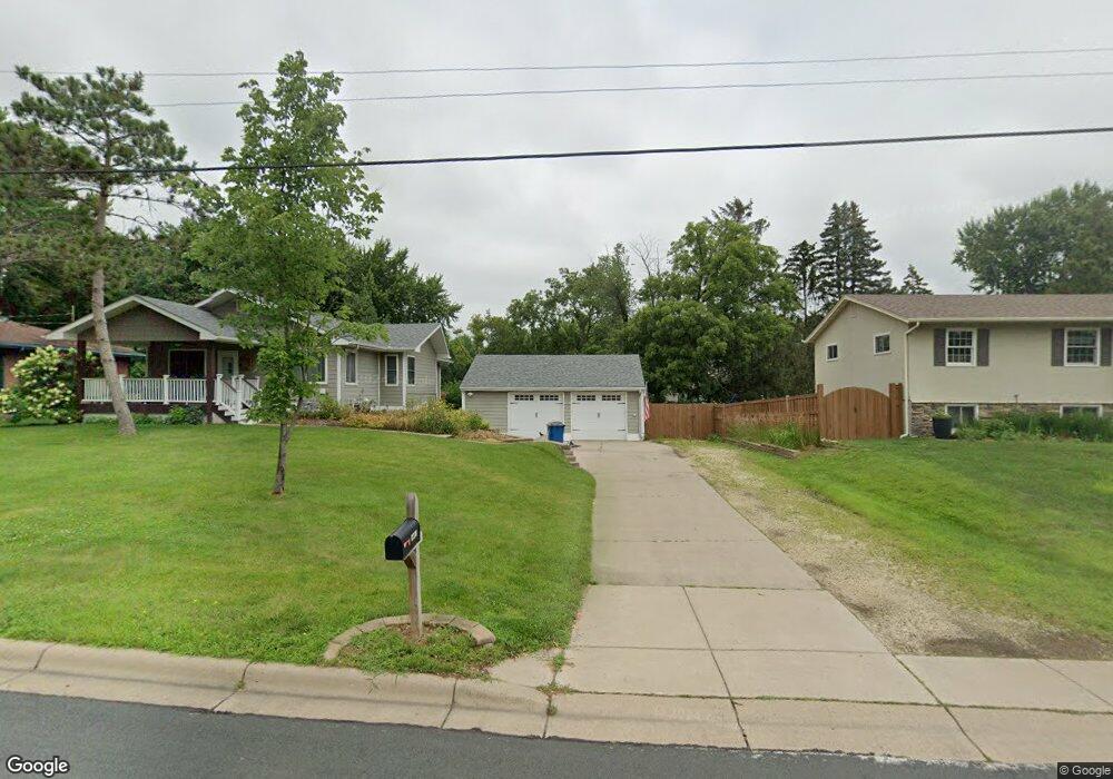
1951 Birch St Saint Paul, MN 55110
Estimated Value: $445,000 - $475,788
3
Beds
3
Baths
2,968
Sq Ft
$155/Sq Ft
Est. Value
About This Home
This home is located at 1951 Birch St, Saint Paul, MN 55110 and is currently estimated at $460,947, approximately $155 per square foot. 1951 Birch St is a home located in Ramsey County with nearby schools including Lakeaires Elementary School, Sunrise Park Middle School, and Liberty Classical Academy.
Ownership History
Date
Name
Owned For
Owner Type
Purchase Details
Closed on
Jul 13, 2021
Sold by
Heinz Christopher J and Heinz Michelle L
Bought by
Carlson Emily F and Carlson Chad E
Current Estimated Value
Home Financials for this Owner
Home Financials are based on the most recent Mortgage that was taken out on this home.
Original Mortgage
$352,000
Outstanding Balance
$319,385
Interest Rate
2.9%
Mortgage Type
New Conventional
Estimated Equity
$141,562
Purchase Details
Closed on
Jun 29, 1998
Sold by
Heinz Joseph G
Bought by
Heinz Christopher J
Create a Home Valuation Report for This Property
The Home Valuation Report is an in-depth analysis detailing your home's value as well as a comparison with similar homes in the area
Home Values in the Area
Average Home Value in this Area
Purchase History
| Date | Buyer | Sale Price | Title Company |
|---|---|---|---|
| Carlson Emily F | $440,000 | Titlesmart Inc | |
| Heinz Christopher J | $105,000 | -- | |
| Carlson Emily Emily | $440,000 | -- |
Source: Public Records
Mortgage History
| Date | Status | Borrower | Loan Amount |
|---|---|---|---|
| Open | Carlson Emily F | $352,000 | |
| Closed | Carlson Emily Emily | $352,000 |
Source: Public Records
Tax History Compared to Growth
Tax History
| Year | Tax Paid | Tax Assessment Tax Assessment Total Assessment is a certain percentage of the fair market value that is determined by local assessors to be the total taxable value of land and additions on the property. | Land | Improvement |
|---|---|---|---|---|
| 2025 | $5,770 | $454,300 | $105,600 | $348,700 |
| 2023 | $5,770 | $437,100 | $105,600 | $331,500 |
| 2022 | $4,438 | $444,900 | $105,600 | $339,300 |
| 2021 | $4,140 | $336,500 | $105,600 | $230,900 |
| 2020 | $4,054 | $323,200 | $105,600 | $217,600 |
| 2019 | $3,460 | $297,900 | $105,600 | $192,300 |
| 2018 | $3,312 | $275,300 | $105,600 | $169,700 |
| 2017 | $3,228 | $271,200 | $105,600 | $165,600 |
| 2016 | $3,776 | $0 | $0 | $0 |
| 2015 | $3,782 | $241,400 | $99,200 | $142,200 |
| 2014 | $3,796 | $0 | $0 | $0 |
Source: Public Records
Map
Nearby Homes
- 4035 Highland Ave
- 4107 White Bear Ave N
- 4181 White Bear Ave N
- 1795 Cheri Ct
- 1794 Cheri Ct
- 3750 Van Dyke St
- 1792 Cheri Ct
- 2184 Floral Dr
- 2075 Dorothy Ave
- 3823 Linden Ave
- 2086 Dorothy Ave
- 3979 Mcknight Rd N
- 3915 Mcknight Rd N
- 3982 Mcknight Rd N
- 1778 Linden Cove
- 3620 Highland Ave
- 3743 Kenny Ln
- 2314 Birch St
- 1827 County Road E E Unit 18
- 4012 Cranbrook Dr
- 1945 Birch St
- 1963 Birch St
- 1964 Lakeaires Blvd
- 1970 Lakeaires Blvd
- 1960 Lakeaires Blvd
- 1971 Birch St
- 1942 Pine St
- 1933 Birch St
- 1960 Birch St
- 1976 Lakeaires Blvd
- 1956 Lakeaires Blvd
- 1940 Oak Knoll Dr
- 1934 Pine St
- 1968 Birch St
- 1984 Lakeaires Blvd
- 1941 Birch St
- 1946 Oak Knoll Dr
- 1943 Oak Knoll Dr
- 1974 Birch St
- 1926 Pine St