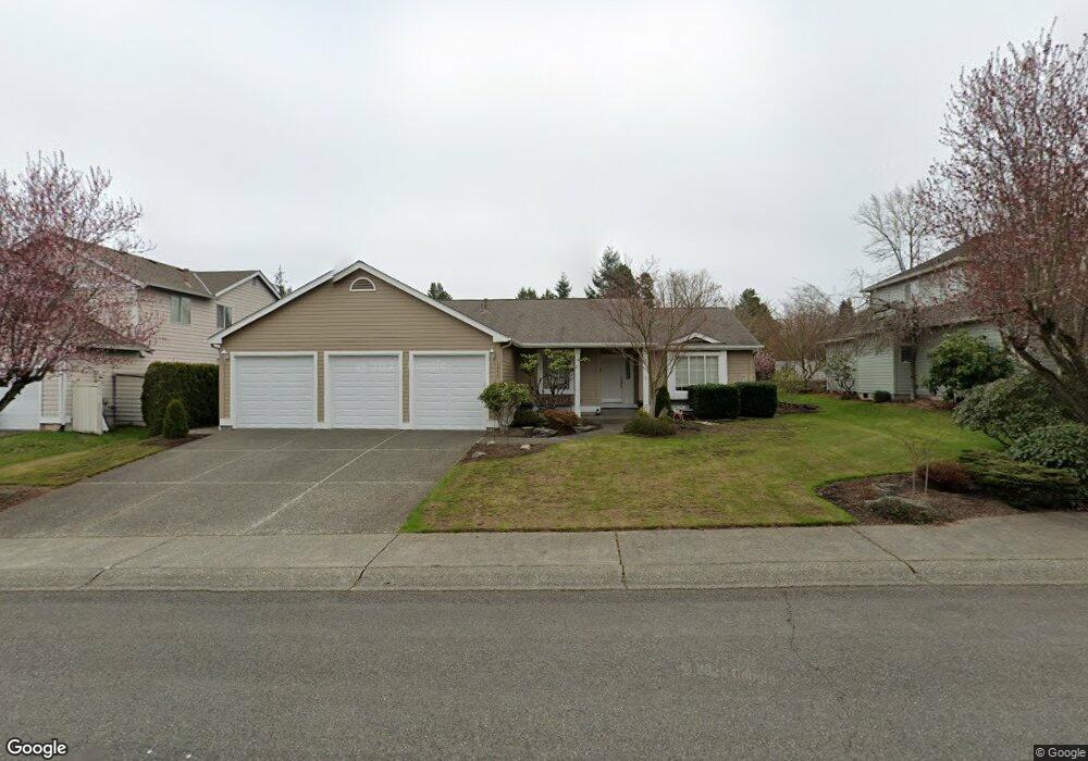
1951 Carbon Ridge St Enumclaw, WA 98022
Estimated Value: $600,477 - $641,000
3
Beds
2
Baths
1,550
Sq Ft
$403/Sq Ft
Est. Value
About This Home
This home is located at 1951 Carbon Ridge St, Enumclaw, WA 98022 and is currently estimated at $624,369, approximately $402 per square foot. 1951 Carbon Ridge St is a home located in King County with nearby schools including Byron Kibler Elementary School, Enumclaw Middle School, and Enumclaw Senior High School.
Ownership History
Date
Name
Owned For
Owner Type
Purchase Details
Closed on
Jan 16, 2019
Sold by
Bolton Dan L and Bolton Cheryl L
Bought by
Bolton Dwight
Current Estimated Value
Purchase Details
Closed on
Nov 20, 2003
Sold by
Pabst Frederick L
Bought by
Bolton Dan L and Bolton Cheryl L
Purchase Details
Closed on
Dec 2, 1993
Sold by
The Quadrant Corp
Bought by
Pabst Fred L and The Woodbine Group Inc
Create a Home Valuation Report for This Property
The Home Valuation Report is an in-depth analysis detailing your home's value as well as a comparison with similar homes in the area
Home Values in the Area
Average Home Value in this Area
Purchase History
| Date | Buyer | Sale Price | Title Company |
|---|---|---|---|
| Bolton Dwight | $371,495 | First American Title | |
| Bolton Dan L | $205,000 | First American | |
| Pabst Fred L | $149,000 | Stewart Title |
Source: Public Records
Tax History Compared to Growth
Tax History
| Year | Tax Paid | Tax Assessment Tax Assessment Total Assessment is a certain percentage of the fair market value that is determined by local assessors to be the total taxable value of land and additions on the property. | Land | Improvement |
|---|---|---|---|---|
| 2024 | $5,126 | $534,000 | $212,000 | $322,000 |
| 2023 | $4,756 | $458,000 | $182,000 | $276,000 |
| 2022 | $4,256 | $523,000 | $208,000 | $315,000 |
| 2021 | $3,812 | $424,000 | $180,000 | $244,000 |
| 2020 | $3,482 | $346,000 | $123,000 | $223,000 |
| 2018 | $3,690 | $319,000 | $113,000 | $206,000 |
| 2017 | $3,278 | $301,000 | $103,000 | $198,000 |
| 2016 | $3,221 | $276,000 | $95,000 | $181,000 |
| 2015 | $3,163 | $267,000 | $90,000 | $177,000 |
| 2014 | -- | $251,000 | $91,000 | $160,000 |
| 2013 | -- | $193,000 | $73,000 | $120,000 |
Source: Public Records
Map
Nearby Homes
- 3035 Carbon Ridge St
- 1919 Clovercrest St
- 1903 Clovercrest St
- 1802 Clovercrest St
- 2632 Cascade Ave
- 1720 Garfield St Unit 4
- 2942 Sun Mountain Dr
- 1722 Harding St
- 3005 Edel Ave
- 1486 Division St
- 1854 Hillcrest Ave
- 1165 Harding St
- 3195 Roosevelt Ave
- 3189 Roosevelt Ave
- 2921 Frederickson St
- 3053 Porter St
- 2040 Roosevelt Ave
- 2054 Roosevelt Ave
- 42008 254th Ave SE
- 837 Myrtine St
- 1941 Carbon Ridge St
- 1961 Carbon Ridge St
- 1931 Carbon Ridge St
- 1950 Carbon Ridge St
- 1960 Carbon Ridge St
- 1940 Carbon Ridge St
- 2911 Carbon Ridge St
- 1930 Carbon Ridge St
- 1921 Carbon Ridge St
- 2914 Olympic Place
- 1951 Hawk Ct
- 1957 Hawk Ct
- 2910 Carbon Ridge St
- 1941 Hawk Ct
- 1920 Carbon Ridge St
- 1931 Hawk Ct
- 1847 Carbon Ridge St
- 2920 Kibler Ave
- 1915 Hawk Ct
- 2944 Kibler Ave