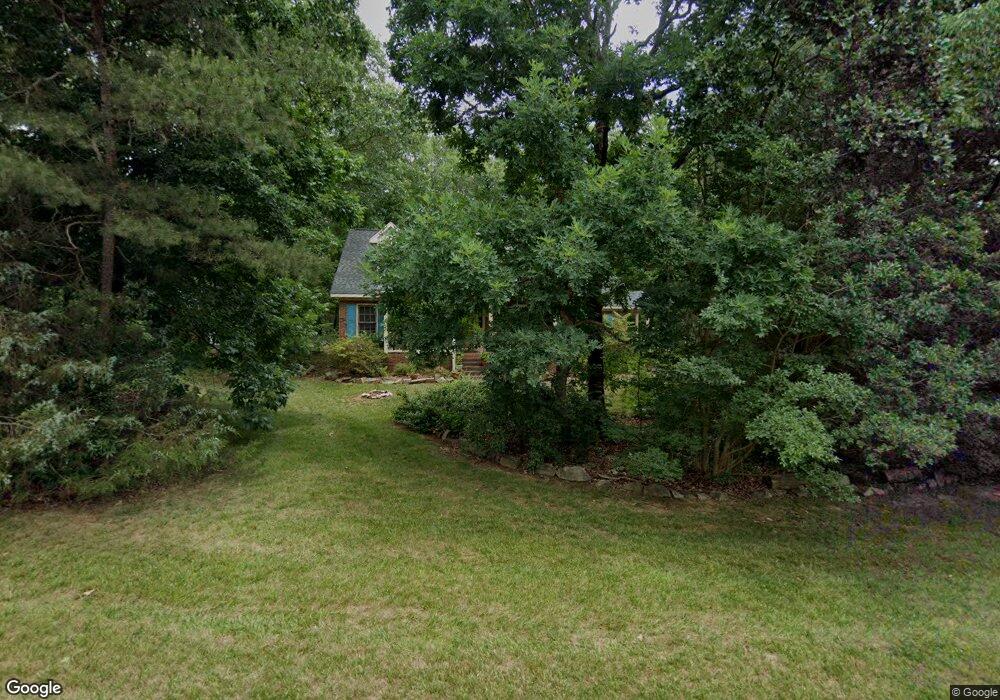
1951 Millbrook Ln Matthews, NC 28104
Estimated Value: $394,000 - $462,000
3
Beds
3
Baths
1,728
Sq Ft
$249/Sq Ft
Est. Value
About This Home
This home is located at 1951 Millbrook Ln, Matthews, NC 28104 and is currently estimated at $430,622, approximately $249 per square foot. 1951 Millbrook Ln is a home located in Union County with nearby schools including Stallings Elementary School, Porter Ridge Middle School, and Porter Ridge High School.
Ownership History
Date
Name
Owned For
Owner Type
Purchase Details
Closed on
Jul 19, 2000
Sold by
Conseco Finance Servicing Corp
Bought by
Jones Allison E
Current Estimated Value
Home Financials for this Owner
Home Financials are based on the most recent Mortgage that was taken out on this home.
Original Mortgage
$100,000
Outstanding Balance
$35,961
Interest Rate
8.3%
Estimated Equity
$394,661
Purchase Details
Closed on
Feb 22, 2000
Sold by
Bowers Rex F and Bowers W
Bought by
Conseco Finance Servicing Corp
Create a Home Valuation Report for This Property
The Home Valuation Report is an in-depth analysis detailing your home's value as well as a comparison with similar homes in the area
Home Values in the Area
Average Home Value in this Area
Purchase History
| Date | Buyer | Sale Price | Title Company |
|---|---|---|---|
| Jones Allison E | $140,500 | -- | |
| Conseco Finance Servicing Corp | $123,757 | -- |
Source: Public Records
Mortgage History
| Date | Status | Borrower | Loan Amount |
|---|---|---|---|
| Open | Jones Allison E | $100,000 |
Source: Public Records
Tax History Compared to Growth
Tax History
| Year | Tax Paid | Tax Assessment Tax Assessment Total Assessment is a certain percentage of the fair market value that is determined by local assessors to be the total taxable value of land and additions on the property. | Land | Improvement |
|---|---|---|---|---|
| 2024 | $2,343 | $266,100 | $58,000 | $208,100 |
| 2023 | $2,244 | $266,100 | $58,000 | $208,100 |
| 2022 | $2,223 | $266,100 | $58,000 | $208,100 |
| 2021 | $2,223 | $266,100 | $58,000 | $208,100 |
| 2020 | $2,403 | $237,000 | $42,500 | $194,500 |
| 2019 | $2,403 | $237,000 | $42,500 | $194,500 |
| 2018 | $2,403 | $237,000 | $42,500 | $194,500 |
| 2017 | $2,401 | $229,500 | $42,500 | $187,000 |
| 2016 | $2,410 | $229,500 | $42,500 | $187,000 |
| 2015 | $2,439 | $229,500 | $42,500 | $187,000 |
| 2014 | $1,464 | $204,970 | $43,000 | $161,970 |
Source: Public Records
Map
Nearby Homes
- 1431 Porch Swing Ln
- 8120 Stevens Mill Rd
- 14404 Lawyers Rd
- 1026 Galloway Dr
- 1330 Millview Ln
- 1346 Millview Ln
- 1377 Millview Ln
- Lawyers Rd Lawyers Rd
- 3100 Shady Grove Ln
- 1004 Moose Trail
- 909 Kayla Ct
- 8056 Hunley Ridge Rd
- 8048 Hunley Ridge Rd
- 2241 Flagstick Dr
- 2314 Flagstick Dr
- 7213 Three Wood Dr
- 0 Allen Black Rd
- 3000 Beech Ct
- 1715 Union Rd
- 14254 Maple Hollow Ln
- 1939 Millbrook Ln
- 1111 Millwright Ln
- 1931 Millbrook Ln
- 1948 Millbrook Ln
- 1940 Millbrook Ln
- 1956 Millbrook Ln
- 1964 Millbrook Ln
- 2003 Millbrook Ln
- 1117 Millwright Ln
- 1923 Millbrook Ln
- 1114 Millwright Ln
- 1465 Porch Swing Ln
- 1924 Millbrook Ln
- 2002 Millbrook Ln
- 1471 Porch Swing Ln
- 2011 Millbrook Ln
- 1015 Millwright Ln
- 1123 Millwright Ln
- 8022 Stevens Mill Rd
- 8028 Stevens Mill Rd