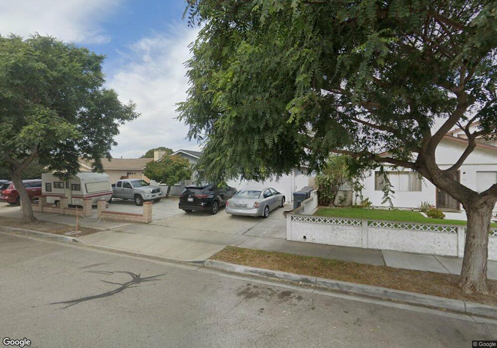
1951 Napoleon Ave Oxnard, CA 93033
Lemonwood Eastmont NeighborhoodEstimated Value: $755,000 - $965,000
5
Beds
3
Baths
1,120
Sq Ft
$752/Sq Ft
Est. Value
About This Home
This home is located at 1951 Napoleon Ave, Oxnard, CA 93033 and is currently estimated at $842,217, approximately $751 per square foot. 1951 Napoleon Ave is a home located in Ventura County with nearby schools including Lemonwood Elementary School, R.J. Frank Academy of Marine Science & Engineering, and Santa Clara High School.
Ownership History
Date
Name
Owned For
Owner Type
Purchase Details
Closed on
Jun 14, 2005
Sold by
Pendragon George L
Bought by
Ruvalcaba Audrey
Current Estimated Value
Purchase Details
Closed on
Dec 7, 2001
Sold by
Ruvalcaba Audrey and Pendragon George L
Bought by
Ruvalcaba Audrey and Pendragon George L
Purchase Details
Closed on
Oct 29, 1994
Sold by
Ortiz Coyo L and Ortiz Maria Refugio
Bought by
Ruvalcaba Audrey and Pendragon George L
Home Financials for this Owner
Home Financials are based on the most recent Mortgage that was taken out on this home.
Original Mortgage
$88,500
Interest Rate
8.78%
Create a Home Valuation Report for This Property
The Home Valuation Report is an in-depth analysis detailing your home's value as well as a comparison with similar homes in the area
Home Values in the Area
Average Home Value in this Area
Purchase History
| Date | Buyer | Sale Price | Title Company |
|---|---|---|---|
| Ruvalcaba Audrey | -- | -- | |
| Ruvalcaba Audrey | $41,000 | -- | |
| Ruvalcaba Audrey | -- | Chicago Title Co | |
| Pendragon George L | -- | Chicago Title Co |
Source: Public Records
Mortgage History
| Date | Status | Borrower | Loan Amount |
|---|---|---|---|
| Previous Owner | Ruvalcaba Audrey | $88,500 |
Source: Public Records
Tax History
| Year | Tax Paid | Tax Assessment Tax Assessment Total Assessment is a certain percentage of the fair market value that is determined by local assessors to be the total taxable value of land and additions on the property. | Land | Improvement |
|---|---|---|---|---|
| 2025 | $7,251 | $604,672 | $250,258 | $354,414 |
| 2024 | $7,251 | $592,816 | $245,351 | $347,465 |
| 2023 | $6,985 | $581,193 | $240,541 | $340,652 |
| 2022 | $6,773 | $569,798 | $235,825 | $333,973 |
| 2021 | $6,717 | $558,626 | $231,201 | $327,425 |
| 2020 | $6,841 | $552,899 | $228,831 | $324,068 |
| 2019 | $6,647 | $542,059 | $224,345 | $317,714 |
| 2018 | $6,552 | $531,432 | $219,947 | $311,485 |
| 2017 | $6,216 | $521,013 | $215,635 | $305,378 |
| 2016 | $5,997 | $510,798 | $211,407 | $299,391 |
| 2015 | $5,028 | $418,000 | $173,000 | $245,000 |
| 2014 | $4,913 | $405,000 | $168,000 | $237,000 |
Source: Public Records
Map
Nearby Homes
- 1928 San Benito St
- 3426 Olds Rd
- 1036 Cheyenne Way
- 3630 Dallas Dr
- 3700 Olds Rd Unit 86
- 2136 Thrush Ave Unit 2136
- 2117 Cardinal Ave Unit 2117h
- 2143 Cardinal Ave Unit 2143
- 2178 Thrush Ave Unit J
- 4061 Canary Ln Unit 4061
- 2177 Robin Ave Unit 2177A
- 1645 Lime Ave Unit 91
- 2140 Robin Ave Unit 2140A
- 2151 E Wooley Rd
- 1630 Nelson Place
- 2021 E Bard Rd
- 2400 E Pleasant Valley Rd Unit 108
- 168 Lark St
- 4340 Highland Ave
- 4108 Ranchita Ln
- 1955 Napoleon Ave
- 1945 Napoleon Ave
- 1960 Macarthur Place
- 1964 Macarthur Place
- 1961 Napoleon Ave
- 1941 Napoleon Ave
- 1956 Macarthur Place
- 1968 Macarthur Place
- 1950 Napoleon Ave
- 1954 Napoleon Ave
- 1944 Napoleon Ave
- 1960 Napoleon Ave
- 2450 Beaufort Dr
- 1940 Napoleon Ave
- 2440 Beaufort Dr
- 2434 Beaufort Dr
- 2001 Napoleon Ave
- 1934 Napoleon Ave
- 1951 Oneill Place
- 2411 Dupont St