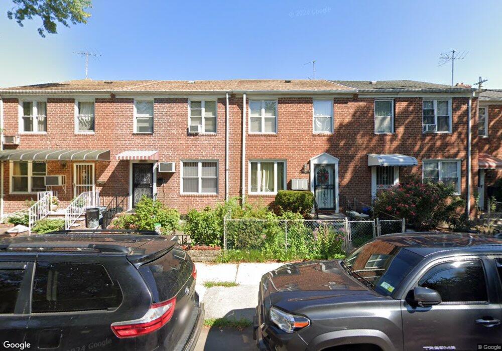
19513 Station Rd Flushing, NY 11358
Auburndale NeighborhoodEstimated Value: $790,000 - $871,532
--
Bed
--
Bath
1,224
Sq Ft
$674/Sq Ft
Est. Value
About This Home
This home is located at 19513 Station Rd, Flushing, NY 11358 and is currently estimated at $824,883, approximately $673 per square foot. 19513 Station Rd is a home located in Queens County with nearby schools including P.S. 31 - Bayside, I.S. 25 Adrien Block, and Francis Lewis High School.
Ownership History
Date
Name
Owned For
Owner Type
Purchase Details
Closed on
Apr 28, 2021
Sold by
Hsu Lannie and Hsu Ru-Hsueh
Bought by
Gao Jian Qiu and Jiang Hao
Current Estimated Value
Home Financials for this Owner
Home Financials are based on the most recent Mortgage that was taken out on this home.
Original Mortgage
$402,000
Interest Rate
2.9%
Mortgage Type
Purchase Money Mortgage
Purchase Details
Closed on
Dec 23, 2013
Sold by
Chou Mei-En Yu
Bought by
Chou Hsueh Wen and Hsu Ru-Hsueh
Purchase Details
Closed on
Nov 14, 1997
Sold by
Chen Carol
Bought by
Yu Mei En Chou
Home Financials for this Owner
Home Financials are based on the most recent Mortgage that was taken out on this home.
Original Mortgage
$110,000
Interest Rate
7.14%
Create a Home Valuation Report for This Property
The Home Valuation Report is an in-depth analysis detailing your home's value as well as a comparison with similar homes in the area
Home Values in the Area
Average Home Value in this Area
Purchase History
| Date | Buyer | Sale Price | Title Company |
|---|---|---|---|
| Gao Jian Qiu | $670,000 | -- | |
| Chou Hsueh Wen | -- | -- | |
| Yu Mei En Chou | $165,000 | First American Title Ins Co |
Source: Public Records
Mortgage History
| Date | Status | Borrower | Loan Amount |
|---|---|---|---|
| Previous Owner | Gao Jian Qiu | $402,000 | |
| Previous Owner | Yu Mei En Chou | $110,000 |
Source: Public Records
Tax History Compared to Growth
Tax History
| Year | Tax Paid | Tax Assessment Tax Assessment Total Assessment is a certain percentage of the fair market value that is determined by local assessors to be the total taxable value of land and additions on the property. | Land | Improvement |
|---|---|---|---|---|
| 2025 | $6,600 | $34,832 | $8,901 | $25,931 |
| 2024 | $6,600 | $32,862 | $10,065 | $22,797 |
| 2023 | $6,397 | $31,849 | $8,235 | $23,614 |
| 2022 | $6,040 | $47,460 | $13,140 | $34,320 |
| 2021 | $2,522 | $46,200 | $13,140 | $33,060 |
| 2020 | $2,413 | $45,240 | $13,140 | $32,100 |
| 2019 | $2,205 | $42,300 | $13,140 | $29,160 |
| 2018 | $2,046 | $26,541 | $8,221 | $18,320 |
| 2017 | $1,454 | $25,214 | $9,359 | $15,855 |
| 2016 | $1,897 | $25,214 | $9,359 | $15,855 |
| 2015 | $2,869 | $24,189 | $12,586 | $11,603 |
| 2014 | $2,869 | $22,821 | $11,849 | $10,972 |
Source: Public Records
Map
Nearby Homes
- 194-23 Station Rd
- 195-31 39th Ave
- 37-6 Francis Lewis Blvd
- 37-08 Francis Lewis Blvd
- 37-02 Francis Lewis Blvd
- 200-06 39th Ave
- 40-38 194th St Unit A-1
- 4048 194th St Unit A3
- 36- 40 201st St Unit A, B, C
- 3617 194th St
- 191-22 39th Ave
- 36-20 194th St Unit 3r
- 196-19 42nd Rd
- 19112 Station Rd
- 42-32 196th St
- 191-08 Station Rd
- 191-9 39th Ave Unit 164
- 191-09 39th Ave Unit Lower
- 4014 191st St
- 190-05 39th Ave Unit 140
- 195-13 Station Rd
- 19515 Station Rd
- 19511 Station Rd
- 19517 Station Rd
- 19509 Station Rd
- 19507 Station Rd
- 19519 Station Rd
- 19505 Station Rd
- 19521 Station Rd
- 19503 Station Rd
- 19523 Station Rd
- 195-01 Station Rd
- 19523 Station Rd
- 19501 Station Rd
- 19525 Station Rd
- 195-25 Station Rd
- 19427 Station Rd
- 194-25 Station Rd
- 19527 Station Rd
- 19508 Station Rd