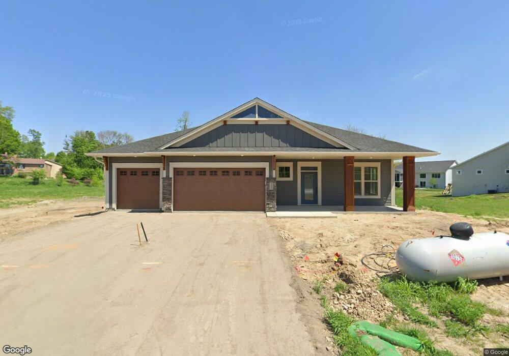
1952 Woods Point Waconia, MN 55387
Estimated Value: $412,000 - $790,000
Studio
--
Bath
--
Sq Ft
10,454
Sq Ft Lot
About This Home
This home is located at 1952 Woods Point, Waconia, MN 55387 and is currently estimated at $636,837. 1952 Woods Point is a home with nearby schools including Southview Elementary School, Waconia Middle School, and Waconia High School.
Ownership History
Date
Name
Owned For
Owner Type
Purchase Details
Closed on
May 23, 2025
Sold by
Woodland Creek Properties Llc
Bought by
Dmohoski Steven Charles and Dmohoski Tamra Rae
Current Estimated Value
Home Financials for this Owner
Home Financials are based on the most recent Mortgage that was taken out on this home.
Original Mortgage
$240,500
Outstanding Balance
$239,678
Interest Rate
6.83%
Mortgage Type
New Conventional
Estimated Equity
$397,159
Purchase Details
Closed on
Nov 30, 2023
Sold by
Hartman Communities Llc
Bought by
Woodland Creek Properties Llc
Home Financials for this Owner
Home Financials are based on the most recent Mortgage that was taken out on this home.
Original Mortgage
$762,750
Interest Rate
7.63%
Mortgage Type
Construction
Create a Home Valuation Report for This Property
The Home Valuation Report is an in-depth analysis detailing your home's value as well as a comparison with similar homes in the area
Home Values in the Area
Average Home Value in this Area
Purchase History
| Date | Buyer | Sale Price | Title Company |
|---|---|---|---|
| Dmohoski Steven Charles | $714,612 | Trademark Title | |
| Woodland Creek Properties Llc | $645,000 | Trademark Title |
Source: Public Records
Mortgage History
| Date | Status | Borrower | Loan Amount |
|---|---|---|---|
| Open | Dmohoski Steven Charles | $240,500 | |
| Previous Owner | Woodland Creek Properties Llc | $762,750 | |
| Previous Owner | Woodland Creek Properties Llc | $204,750 |
Source: Public Records
Tax History
| Year | Tax Paid | Tax Assessment Tax Assessment Total Assessment is a certain percentage of the fair market value that is determined by local assessors to be the total taxable value of land and additions on the property. | Land | Improvement |
|---|---|---|---|---|
| 2025 | $1,300 | $175,600 | $150,000 | $25,600 |
| 2024 | $782 | $150,000 | $150,000 | $0 |
Source: Public Records
Map
Nearby Homes
- 1954 Woods Point
- 1951 Woods Point
- 1887 Campfire Dr W
- 1958 Campfire Dr E
- 1954 Campfire Dr E
- 1851 Campfire Dr E
- 1774 Campfire Dr W
- 1767 Campfire Dr W
- 681 Sierra Pkwy
- 1965 Fountain Ln
- 557 Waterford Place
- 553 Waterford Place
- 549 Waterford Place
- 2081 Silver St
- 545 Waterford Place
- 451 Murray Hill Way
- 1868 Moccasin
- 221 Huntington Dr
- 215 Huntington Dr
- 213 Huntington Dr
- 1951 Woods Point St Unit 37183581
- 1951 Woods Point St Unit 37183577
- 1951 Woods Point St Unit 37183572
- 1949 Woods Point
- 1947 Woods Point
- 1948 Campfire Ct
- 1944 Woods Point
- 1945 Woods Point
- 1891 Campfire Ct
- 1891 Campfire Dr W
- 1890 Campfire Ct
- 1889 Campfire Dr W
- 1889 Campfire Dr W
- 1887 Campfire Dr W
- 1947 Campfire Dr E
- 1949 Campfire Dr E
- 1956 Campfire Dr E
- 1951 Campfire Dr E
- 1850 Campfire Dr E
- 1960 Campfire Dr E
Your Personal Tour Guide
Ask me questions while you tour the home.