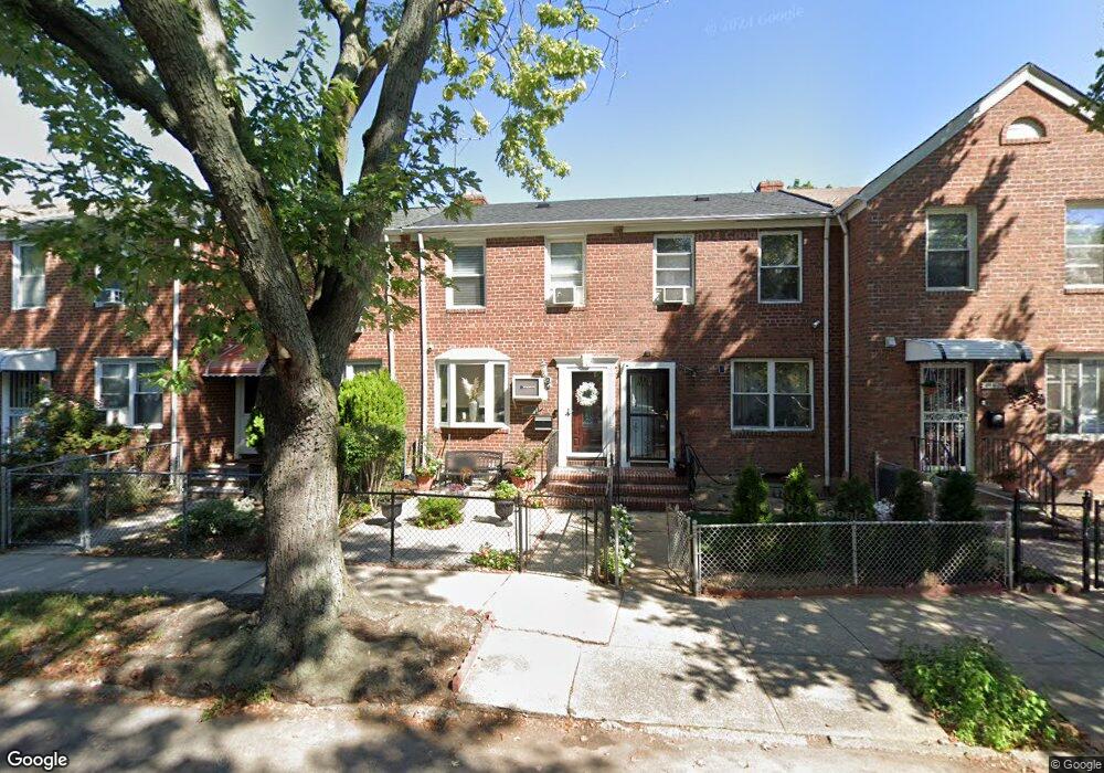
19521 Station Rd Flushing, NY 11358
Auburndale NeighborhoodEstimated Value: $791,015 - $847,000
--
Bed
--
Bath
960
Sq Ft
$847/Sq Ft
Est. Value
About This Home
This home is located at 19521 Station Rd, Flushing, NY 11358 and is currently estimated at $812,754, approximately $846 per square foot. 19521 Station Rd is a home located in Queens County with nearby schools including P.S. 31 - Bayside, I.S. 25 Adrien Block, and Francis Lewis High School.
Ownership History
Date
Name
Owned For
Owner Type
Purchase Details
Closed on
May 1, 2025
Sold by
Kosteas Panagiotes and Vasilopoulos Ioanna
Bought by
Guo Hongjiao and Wang Jikun
Current Estimated Value
Home Financials for this Owner
Home Financials are based on the most recent Mortgage that was taken out on this home.
Original Mortgage
$552,500
Outstanding Balance
$549,543
Interest Rate
6.64%
Mortgage Type
Purchase Money Mortgage
Estimated Equity
$263,211
Purchase Details
Closed on
Jun 1, 2006
Sold by
Papa Carolyn and Pascalli Anthony
Bought by
Kosteas Panagiotes and Vasilopouplos Ioanna
Home Financials for this Owner
Home Financials are based on the most recent Mortgage that was taken out on this home.
Original Mortgage
$356,000
Interest Rate
6.62%
Mortgage Type
Purchase Money Mortgage
Create a Home Valuation Report for This Property
The Home Valuation Report is an in-depth analysis detailing your home's value as well as a comparison with similar homes in the area
Home Values in the Area
Average Home Value in this Area
Purchase History
| Date | Buyer | Sale Price | Title Company |
|---|---|---|---|
| Guo Hongjiao | $850,000 | -- | |
| Guo Hongjiao | $850,000 | -- | |
| Kosteas Panagiotes | $445,000 | -- | |
| Kosteas Panagiotes | $445,000 | -- |
Source: Public Records
Mortgage History
| Date | Status | Borrower | Loan Amount |
|---|---|---|---|
| Open | Guo Hongjiao | $552,500 | |
| Closed | Guo Hongjiao | $552,500 | |
| Previous Owner | Kosteas Panagiotes | $356,000 |
Source: Public Records
Tax History Compared to Growth
Tax History
| Year | Tax Paid | Tax Assessment Tax Assessment Total Assessment is a certain percentage of the fair market value that is determined by local assessors to be the total taxable value of land and additions on the property. | Land | Improvement |
|---|---|---|---|---|
| 2025 | $6,381 | $31,769 | $8,229 | $23,540 |
| 2024 | $6,381 | $31,769 | $9,144 | $22,625 |
| 2023 | $6,333 | $31,529 | $7,903 | $23,626 |
| 2022 | $5,938 | $42,480 | $11,640 | $30,840 |
| 2021 | $5,906 | $40,020 | $11,640 | $28,380 |
| 2020 | $5,604 | $39,480 | $11,640 | $27,840 |
| 2019 | $5,538 | $42,000 | $11,640 | $30,360 |
| 2018 | $5,356 | $26,274 | $8,275 | $17,999 |
| 2017 | $4,753 | $24,787 | $8,541 | $16,246 |
| 2016 | $4,365 | $24,787 | $8,541 | $16,246 |
| 2015 | $2,601 | $22,062 | $12,776 | $9,286 |
| 2014 | $2,601 | $22,062 | $11,400 | $10,662 |
Source: Public Records
Map
Nearby Homes
- 195-31 39th Ave
- 37-6 Francis Lewis Blvd
- 37-08 Francis Lewis Blvd
- 37-02 Francis Lewis Blvd
- 200-06 39th Ave
- 36- 40 201st St Unit A, B, C
- 194-23 Station Rd
- 3617 194th St
- 36-20 194th St Unit 3r
- 40-38 194th St Unit A-1
- 4048 194th St Unit A3
- 191-22 39th Ave
- 191-9 39th Ave Unit 164
- 196-19 42nd Rd
- 191-09 39th Ave Unit Lower
- 35-16 203rd St
- 19112 Station Rd
- 191-08 Station Rd
- 34-41 201st St
- 35-27 203rd St
- 19519 Station Rd
- 19523 Station Rd
- 19517 Station Rd
- 19523 Station Rd
- 19525 Station Rd
- 195-25 Station Rd
- 19515 Station Rd
- 19527 Station Rd
- 195-13 Station Rd
- 19513 Station Rd
- 19529 Station Rd
- 19511 Station Rd
- 196-01 Station Rd
- 19531 Station Rd
- 19509 Station Rd
- 40-04 196th St Unit 2nd Fl
- 40-04 196th St Unit 1st Fl
- 40-04 196th St Unit 1
- 40-04 196th St
- 40-04 196th St Unit 2