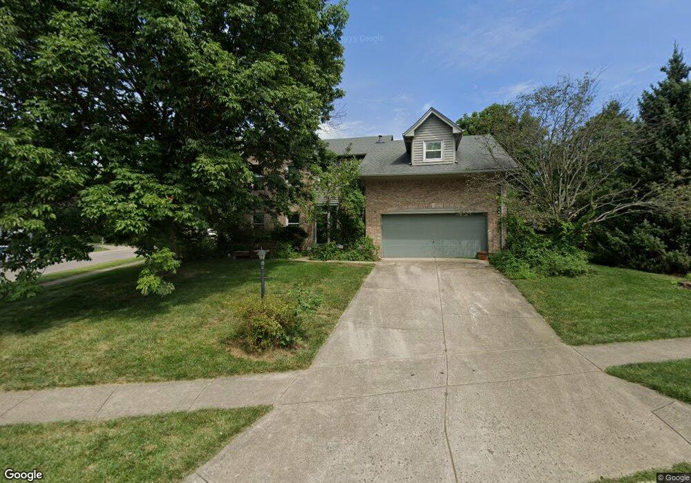
1953 Baldwin Dr Dayton, OH 45459
Estimated Value: $420,621 - $470,000
4
Beds
3
Baths
2,537
Sq Ft
$178/Sq Ft
Est. Value
About This Home
This home is located at 1953 Baldwin Dr, Dayton, OH 45459 and is currently estimated at $450,655, approximately $177 per square foot. 1953 Baldwin Dr is a home located in Montgomery County with nearby schools including Primary Village North, Driscoll Elementary School, and Tower Heights Middle School.
Ownership History
Date
Name
Owned For
Owner Type
Purchase Details
Closed on
May 31, 2001
Sold by
Bradley Douglas A and Bradley Patricia L
Bought by
Livingston Peter R and Livingston Sandra L
Current Estimated Value
Home Financials for this Owner
Home Financials are based on the most recent Mortgage that was taken out on this home.
Original Mortgage
$193,500
Interest Rate
7.16%
Purchase Details
Closed on
Oct 22, 1998
Sold by
Burge Edwin P and Burge Beverly J
Bought by
Bradley Douglas A and Bradley Patricia L
Create a Home Valuation Report for This Property
The Home Valuation Report is an in-depth analysis detailing your home's value as well as a comparison with similar homes in the area
Home Values in the Area
Average Home Value in this Area
Purchase History
| Date | Buyer | Sale Price | Title Company |
|---|---|---|---|
| Livingston Peter R | $215,000 | -- | |
| Bradley Douglas A | $206,000 | -- |
Source: Public Records
Mortgage History
| Date | Status | Borrower | Loan Amount |
|---|---|---|---|
| Previous Owner | Livingston Peter R | $193,500 |
Source: Public Records
Tax History Compared to Growth
Tax History
| Year | Tax Paid | Tax Assessment Tax Assessment Total Assessment is a certain percentage of the fair market value that is determined by local assessors to be the total taxable value of land and additions on the property. | Land | Improvement |
|---|---|---|---|---|
| 2024 | $7,245 | $124,890 | $20,790 | $104,100 |
| 2023 | $7,245 | $124,890 | $20,790 | $104,100 |
| 2022 | $6,920 | $94,610 | $15,750 | $78,860 |
| 2021 | $6,939 | $94,610 | $15,750 | $78,860 |
| 2020 | $6,930 | $94,610 | $15,750 | $78,860 |
| 2019 | $7,136 | $86,970 | $15,750 | $71,220 |
| 2018 | $6,324 | $86,970 | $15,750 | $71,220 |
| 2017 | $6,251 | $86,970 | $15,750 | $71,220 |
| 2016 | $6,102 | $80,120 | $15,750 | $64,370 |
| 2015 | $6,039 | $80,120 | $15,750 | $64,370 |
| 2014 | $6,039 | $80,120 | $15,750 | $64,370 |
| 2012 | -- | $72,700 | $17,500 | $55,200 |
Source: Public Records
Map
Nearby Homes
- 1973 Home Path Ct
- 6650 Wareham Ct Unit 5
- 6350 Gwinnett Ln Unit 1326
- 1511 Lake Pointe Way Unit 6
- 1511 Lake Pointe Way
- 1511 Lake Pointe Way Unit 2
- 6610 Green Branch Dr
- 6780 Montpellier Blvd
- 1310 Hollow Run Unit 3
- 1311 Hollow Run Unit 11
- 1311 Hollow Run Unit 6
- 1316 Daventry Ct Unit 25D3131
- 2540 Early Spring Ct
- 2565 Briggs Rd
- 2349 Donamere Cir Unit 5C
- 1740 Piper Ln
- 1237 Chevington Ct Unit 1515
- 2580 Hingham Ln
- 1820 Piper Ln Unit 103
- 1770 Piper Ln Unit 208
- 6676 Sandyhill Dr
- 1932 Meandering Cove
- 6699 Sandyhill Dr
- 1908 Meandering Cove
- 6683 Sandyhill Dr
- 6667 Sandyhill Dr
- 1950 Meandering Cove
- 6756 Winding Cove
- 6768 Winding Cove
- 1899 Baldwin Dr
- 6635 Crossbrook Dr
- 6724 Winding Cove
- 6653 Crossbrook Dr
- 6671 Crossbrook Dr
- 1931 Meandering Cove
- 6689 Crossbrook Dr
- 6780 Winding Cove
- 6657 Brigham Square
- 6657 Brigham Square Unit 6657
- 6657 Brigham Square