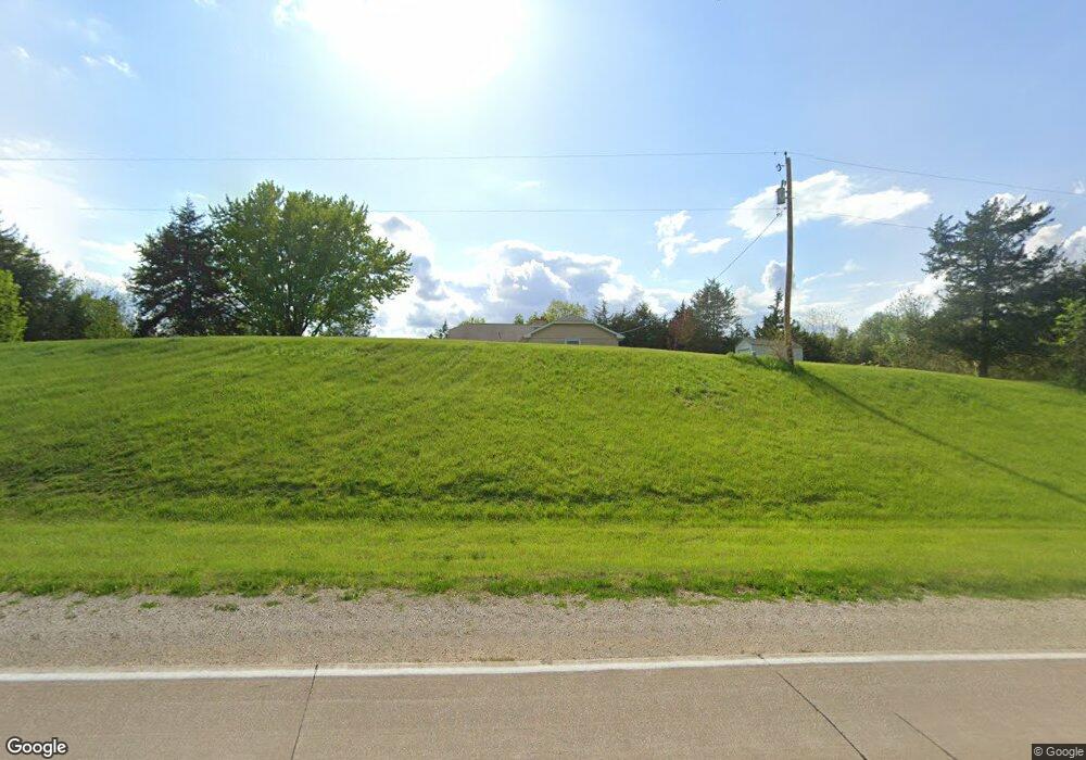
1953 Franklin Rd West Point, IA 52656
Estimated Value: $311,545 - $606,000
3
Beds
3
Baths
3,490
Sq Ft
$118/Sq Ft
Est. Value
About This Home
This home is located at 1953 Franklin Rd, West Point, IA 52656 and is currently estimated at $412,886, approximately $118 per square foot. 1953 Franklin Rd is a home located in Lee County with nearby schools including Central Lee Elementary School, Central Lee Middle School, and Central Lee High School.
Ownership History
Date
Name
Owned For
Owner Type
Purchase Details
Closed on
Apr 21, 2025
Sold by
Jiju Thpogb Living Trust and Beger Judith Ann
Bought by
Wellman Dustan B and Wellman Kristen M
Current Estimated Value
Home Financials for this Owner
Home Financials are based on the most recent Mortgage that was taken out on this home.
Original Mortgage
$257,000
Outstanding Balance
$255,864
Interest Rate
6.67%
Mortgage Type
New Conventional
Estimated Equity
$157,022
Purchase Details
Closed on
Aug 17, 2023
Sold by
Beger Judith Ann Watkins
Bought by
Jiju Thpobg Living Trust and Beger
Create a Home Valuation Report for This Property
The Home Valuation Report is an in-depth analysis detailing your home's value as well as a comparison with similar homes in the area
Home Values in the Area
Average Home Value in this Area
Purchase History
| Date | Buyer | Sale Price | Title Company |
|---|---|---|---|
| Wellman Dustan B | $330,000 | None Listed On Document | |
| Wellman Dustan B | $330,000 | None Listed On Document | |
| Jiju Thpobg Living Trust | -- | None Listed On Document |
Source: Public Records
Mortgage History
| Date | Status | Borrower | Loan Amount |
|---|---|---|---|
| Open | Wellman Dustan B | $257,000 | |
| Closed | Wellman Dustan B | $257,000 |
Source: Public Records
Tax History Compared to Growth
Tax History
| Year | Tax Paid | Tax Assessment Tax Assessment Total Assessment is a certain percentage of the fair market value that is determined by local assessors to be the total taxable value of land and additions on the property. | Land | Improvement |
|---|---|---|---|---|
| 2025 | $2,116 | $330,450 | $24,270 | $306,180 |
| 2024 | $2,116 | $203,860 | $24,270 | $179,590 |
| 2023 | $2,204 | $203,860 | $24,270 | $179,590 |
| 2022 | $1,896 | $163,220 | $22,080 | $141,140 |
| 2021 | $1,896 | $163,220 | $22,080 | $141,140 |
| 2020 | $1,888 | $154,530 | $23,410 | $131,120 |
| 2019 | $1,862 | $154,530 | $23,410 | $131,120 |
| 2018 | $1,850 | $145,780 | $0 | $0 |
| 2017 | $1,850 | $137,380 | $0 | $0 |
| 2016 | $1,696 | $137,380 | $0 | $0 |
| 2015 | $1,696 | $134,550 | $0 | $0 |
| 2014 | $1,700 | $134,550 | $0 | $0 |
Source: Public Records
Map
Nearby Homes
- 306 Franklin 5th St
- 2257 Burt Rd
- 2280 Windmill Way
- 819 Park St
- 221 Chestnut St
- 808 Park St
- 603 Fruit St
- 53 5th St
- 808 Pershing St
- 720 Pershing St
- 2229 235th St
- 807 Chestnut St
- 00 180th St
- 1794 150th St
- 2042 St Paul 2nd St
- 2329 263rd Ave
- 2377 257th St
- 6119 Reve Ct
- 0 Blues Highway & Bluff Rd
- 1405 Primrose Rd
- 1972 Franklin Rd
- 1933 Franklin Rd
- 1921 Franklin Rd
- 400 Franklin Exchange St
- 102 Franklin 4th St
- 2135 Burt Rd
- 106 Franklin 4th St
- 2113 Golden Rd
- 508 Franklin Exchange St
- 101 Franklin 5th St
- 201 Franklin Main St
- 301 Franklin Main St
- 505 Franklin Broadway St
- 201 Franklin 5th St
- 107 Franklin 6th St
- 307 Franklin Main St
- 208 Franklin Main St
- 104 Franklin Main St
- 303 Franklin 4th St
- 506 Franklin Broadway St