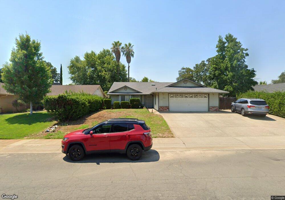
1954 Charade Way Redding, CA 96003
North Shasta View NeighborhoodEstimated Value: $421,379 - $436,000
4
Beds
2
Baths
1,793
Sq Ft
$239/Sq Ft
Est. Value
About This Home
This home is located at 1954 Charade Way, Redding, CA 96003 and is currently estimated at $427,845, approximately $238 per square foot. 1954 Charade Way is a home located in Shasta County with nearby schools including Columbia Elementary School, Mountain View Middle School, and Foothill High School.
Ownership History
Date
Name
Owned For
Owner Type
Purchase Details
Closed on
Dec 22, 2021
Sold by
Cheryl Wilke
Bought by
Hunter Cheryl Diane
Current Estimated Value
Home Financials for this Owner
Home Financials are based on the most recent Mortgage that was taken out on this home.
Original Mortgage
$150,400
Interest Rate
2.34%
Mortgage Type
New Conventional
Purchase Details
Closed on
Jul 6, 2005
Sold by
Davies James A and Davies Cheryl S
Bought by
Wilke Cheryl
Home Financials for this Owner
Home Financials are based on the most recent Mortgage that was taken out on this home.
Original Mortgage
$214,000
Interest Rate
5.55%
Mortgage Type
Fannie Mae Freddie Mac
Create a Home Valuation Report for This Property
The Home Valuation Report is an in-depth analysis detailing your home's value as well as a comparison with similar homes in the area
Home Values in the Area
Average Home Value in this Area
Purchase History
| Date | Buyer | Sale Price | Title Company |
|---|---|---|---|
| Hunter Cheryl Diane | -- | Rosenberg Pllc | |
| Hunter Cheryl Diane | -- | Rosenberg Pllc | |
| Wilke Cheryl | $329,000 | Fidelity Natl Title Co Of Ca |
Source: Public Records
Mortgage History
| Date | Status | Borrower | Loan Amount |
|---|---|---|---|
| Previous Owner | Hunter Cheryl Diane | $150,400 | |
| Previous Owner | Wilke Cheryl | $214,000 |
Source: Public Records
Tax History
| Year | Tax Paid | Tax Assessment Tax Assessment Total Assessment is a certain percentage of the fair market value that is determined by local assessors to be the total taxable value of land and additions on the property. | Land | Improvement |
|---|---|---|---|---|
| 2025 | $4,450 | $430,000 | $60,000 | $370,000 |
| 2024 | $4,561 | $420,000 | $60,000 | $360,000 |
| 2023 | $4,561 | $420,000 | $60,000 | $360,000 |
| 2022 | $4,024 | $375,000 | $55,000 | $320,000 |
| 2021 | $3,647 | $335,000 | $55,000 | $280,000 |
| 2020 | $3,335 | $305,000 | $50,000 | $255,000 |
| 2019 | $3,109 | $285,000 | $55,000 | $230,000 |
| 2018 | $3,149 | $280,800 | $57,200 | $223,600 |
| 2017 | $3,129 | $270,000 | $55,000 | $215,000 |
| 2016 | $2,984 | $270,000 | $55,000 | $215,000 |
| 2015 | $2,657 | $240,000 | $50,000 | $190,000 |
| 2014 | $2,426 | $220,000 | $40,000 | $180,000 |
Source: Public Records
Map
Nearby Homes
- 1637 French Lace Ln
- 10033 Abernathy Ln
- 2093 Victor Ave
- 2571 Erin Ln
- 1090 Gibralter Rd
- 2295 Chelsa Cir
- 10162 Harley Leighton Rd
- 2728 Jasmine Way
- 2912 Squire Ave
- 1939 Cameo Ct
- 10129 Harley Leighton Rd
- 1701 E Cypress Ave
- 1877 Wheeler St
- 2115 Hawn Ave
- 965 Willow Brook Ln
- 3072 Alta Mesa Dr
- 10587 Quail Hollow Dr
- 0 Shasta View Unit 25-1945
- 1556 Minor St
- 3035 Argyle Rd
- 1960 Charade Way
- 1952 Charade Way
- 1955 Trumpet Dr
- 1949 Trumpet Dr
- 1946 Charade Way
- 1966 Charade Way
- 1961 Trumpet Dr
- 1943 Trumpet Dr
- 1957 Charade Way
- 1963 Charade Way
- 1967 Trumpet Dr
- 1949 Charade Way
- 1940 Charade Way
- 1937 Trumpet Dr
- 1972 Charade Way
- 1969 Charade Way
- 1973 Trumpet Dr
- 1943 Charade Way
- 1975 Charade Way
- 1931 Trumpet Dr
Your Personal Tour Guide
Ask me questions while you tour the home.