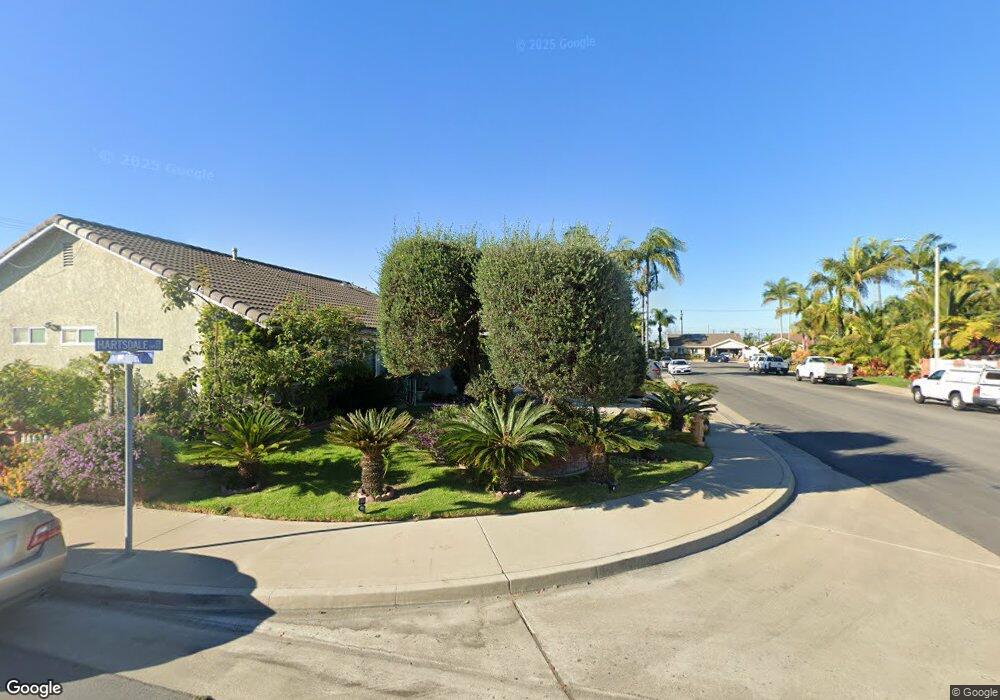
19541 Hartsdale Cir Huntington Beach, CA 92646
Adams NeighborhoodEstimated Value: $1,316,403 - $1,474,000
4
Beds
2
Baths
1,639
Sq Ft
$853/Sq Ft
Est. Value
About This Home
This home is located at 19541 Hartsdale Cir, Huntington Beach, CA 92646 and is currently estimated at $1,397,601, approximately $852 per square foot. 19541 Hartsdale Cir is a home located in Orange County with nearby schools including Isojiro Oka Elementary, Talbert Middle School, and Huntington Beach High School.
Ownership History
Date
Name
Owned For
Owner Type
Purchase Details
Closed on
Feb 28, 2021
Sold by
Pastore Peter J and Yates Paula
Bought by
Pastore Peter J and Yates Paula
Current Estimated Value
Purchase Details
Closed on
Jul 1, 2020
Sold by
Yates Paula and The Pastore Sr Family Trust
Bought by
Pastore Peter J and Yates Paula
Create a Home Valuation Report for This Property
The Home Valuation Report is an in-depth analysis detailing your home's value as well as a comparison with similar homes in the area
Home Values in the Area
Average Home Value in this Area
Purchase History
| Date | Buyer | Sale Price | Title Company |
|---|---|---|---|
| Pastore Peter J | -- | None Available | |
| Pastore Peter J | -- | None Available |
Source: Public Records
Tax History Compared to Growth
Tax History
| Year | Tax Paid | Tax Assessment Tax Assessment Total Assessment is a certain percentage of the fair market value that is determined by local assessors to be the total taxable value of land and additions on the property. | Land | Improvement |
|---|---|---|---|---|
| 2025 | $1,460 | $99,708 | $36,051 | $63,657 |
| 2024 | $1,460 | $97,753 | $35,344 | $62,409 |
| 2023 | $1,422 | $95,837 | $34,651 | $61,186 |
| 2022 | $1,397 | $93,958 | $33,971 | $59,987 |
| 2021 | $1,372 | $92,116 | $33,305 | $58,811 |
| 2020 | $1,285 | $91,172 | $32,964 | $58,208 |
| 2019 | $1,264 | $89,385 | $32,318 | $57,067 |
| 2018 | $1,241 | $87,633 | $31,684 | $55,949 |
| 2017 | $1,220 | $85,915 | $31,063 | $54,852 |
| 2016 | $1,176 | $84,231 | $30,454 | $53,777 |
| 2015 | $1,157 | $82,966 | $29,996 | $52,970 |
| 2014 | $1,132 | $81,341 | $29,408 | $51,933 |
Source: Public Records
Map
Nearby Homes
- 9594 Pettswood Dr Unit 4
- 19846 Lures Ln
- 19854 Leighton Ln
- 19361 Brookhurst St Unit 159
- 19361 Brookhurst St Unit 87
- 19361 Brookhurst St Unit 50
- 19361 Brookhurst St Unit 143
- 19361 Brookhurst St Unit 21
- 19361 Brookhurst St Unit 22
- 19361 Brookhurst St Unit 184
- 19361 Brookhurst St Unit 33
- 19843 Coventry Ln
- 9831 Continental Dr
- 9667 Durham Dr
- 19774 Cambridge Ln
- 9745 Cornwall Dr
- 9462 Litchfield Dr
- 19860 Claremont Ln
- 9121 Madeline Dr
- 19251 Brookhurst St Unit 13
- 19551 Hartsdale Cir
- 19531 Hartsdale Cir
- 19561 Hartsdale Cir
- 19521 Hartsdale Cir
- 19542 Hartsdale Cir
- 19552 Hartsdale Cir
- 9531 Innsbruck Dr
- 19532 Hartsdale Cir
- 19511 Hartsdale Cir
- 9452 Greenwich Dr
- 9451 Portsmouth Dr
- 9551 Innsbruck Dr
- 19502 Hartsdale Cir
- 19512 Hartsdale Cir
- 19541 Tuckahoe Cir
- 19551 Tuckahoe Cir
- 9512 Innsbruck Dr
- 9471 Greenwich Dr
- 19531 Tuckahoe Cir
- 9522 Innsbruck Dr