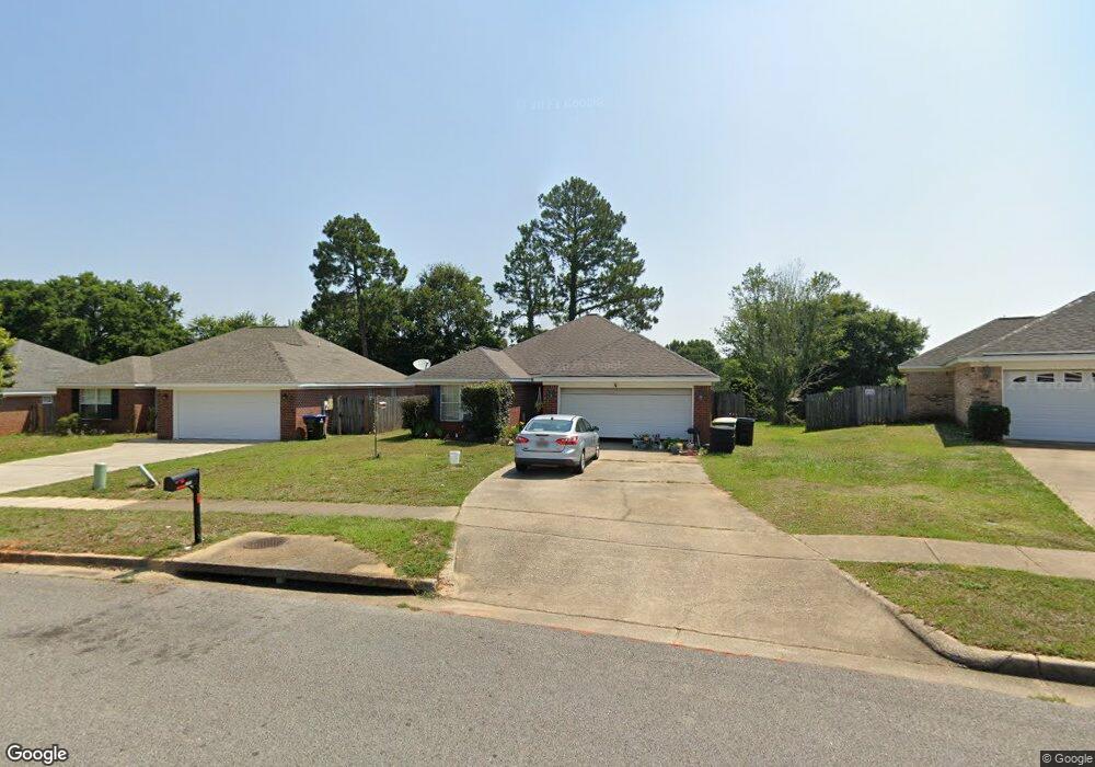
1955 E Clarke Rd Mobile, AL 36695
Yorkwood NeighborhoodEstimated Value: $229,073 - $250,000
3
Beds
2
Baths
1,604
Sq Ft
$147/Sq Ft
Est. Value
About This Home
This home is located at 1955 E Clarke Rd, Mobile, AL 36695 and is currently estimated at $235,518, approximately $146 per square foot. 1955 E Clarke Rd is a home located in Mobile County with nearby schools including O'rourke Elementary School, Bernice J Causey Middle School, and Baker High School.
Ownership History
Date
Name
Owned For
Owner Type
Purchase Details
Closed on
Jan 28, 2004
Sold by
Benchmark Homes Inc
Bought by
Boland Bradley J and Boland Nicole H
Current Estimated Value
Home Financials for this Owner
Home Financials are based on the most recent Mortgage that was taken out on this home.
Original Mortgage
$119,524
Interest Rate
5.77%
Mortgage Type
FHA
Purchase Details
Closed on
Oct 22, 2003
Sold by
Lgl Llc
Bought by
Benchmark Homes Inc
Create a Home Valuation Report for This Property
The Home Valuation Report is an in-depth analysis detailing your home's value as well as a comparison with similar homes in the area
Home Values in the Area
Average Home Value in this Area
Purchase History
| Date | Buyer | Sale Price | Title Company |
|---|---|---|---|
| Boland Bradley J | $121,400 | -- | |
| Benchmark Homes Inc | -- | -- |
Source: Public Records
Mortgage History
| Date | Status | Borrower | Loan Amount |
|---|---|---|---|
| Previous Owner | Boland Bradley J | $119,524 |
Source: Public Records
Tax History
| Year | Tax Paid | Tax Assessment Tax Assessment Total Assessment is a certain percentage of the fair market value that is determined by local assessors to be the total taxable value of land and additions on the property. | Land | Improvement |
|---|---|---|---|---|
| 2025 | $1,063 | $23,090 | $3,000 | $20,090 |
| 2024 | $1,063 | $21,710 | $2,800 | $18,910 |
| 2023 | $996 | $18,090 | $2,820 | $15,270 |
| 2022 | $760 | $17,060 | $2,560 | $14,500 |
| 2021 | $695 | $15,710 | $2,560 | $13,150 |
| 2020 | $703 | $15,870 | $2,560 | $13,310 |
| 2019 | $665 | $15,100 | $0 | $0 |
| 2018 | $667 | $15,140 | $0 | $0 |
| 2017 | $679 | $15,380 | $0 | $0 |
| 2016 | $681 | $15,420 | $0 | $0 |
| 2013 | $603 | $13,700 | $0 | $0 |
Source: Public Records
Map
Nearby Homes
- 1897 Burnham Ct
- 8400 Kendall Ct N
- 2155 Brittany Dr
- 1720 Leroy Stevens Rd
- 8367 Calgary Dr S
- 2200 O'Rourke Dr
- 8690 W Anvil Ct
- 8700 Irongate Way
- 2261 Vulcan Ct
- 1645 Dawes Rd
- 8391 Jeff Hamilton Road Extension
- 8391 Jeff Hamilton Road Extension
- 2316 Leroy Stevens Rd
- 8011 Suzanne Way
- 8555 the Pines of Dawes Dr
- 8565 the Pines of Dawes Dr
- 8577 the Pines of Dawes Dr
- 0 Walter Ct Unit 7008922
- 0 Walter Ct Unit 7008907
- 0 Walter Ct Unit 7008918
- 1955 E Clarke Rd
- 1951 E Clarke Rd
- 1961 E Clarke Rd
- 1980 W Rachael Dr
- 1945 E Clarke Rd
- 1990 W Rachael Dr
- 1965 E Clarke Rd
- 1945 E Clarke Rd
- 1970 W Rachael Dr
- 1960 W Rachael Dr
- 1964 E Clarke Rd
- 1941 E Clarke Rd
- 1958 E Clarke Rd
- 2000 W Rachael Dr
- 1950 W Rachael Dr
- 8420 Jeptha Ct
- 1970 E Clarke Rd
- 1952 E Clarke Rd
- 8410 Jeptha Ct
- 8400 Jeptha Ct
Your Personal Tour Guide
Ask me questions while you tour the home.