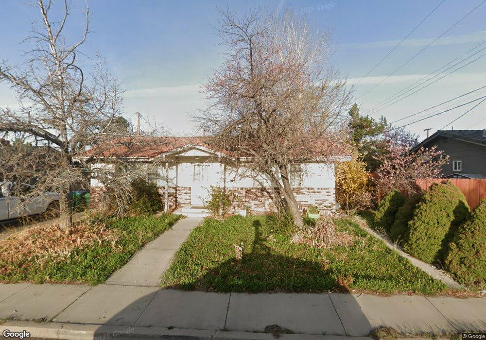
1955 Kim Way Sparks, NV 89431
McCarran Boulevard-Probasco NeighborhoodEstimated Value: $478,000 - $495,132
3
Beds
2
Baths
1,930
Sq Ft
$252/Sq Ft
Est. Value
About This Home
This home is located at 1955 Kim Way, Sparks, NV 89431 and is currently estimated at $487,283, approximately $252 per square foot. 1955 Kim Way is a home located in Washoe County with nearby schools including Greenbrae Elementary School, George L Dilworth Middle School, and Sparks High School.
Ownership History
Date
Name
Owned For
Owner Type
Purchase Details
Closed on
May 20, 2005
Sold by
Smith James H and Smith Josephine
Bought by
Krogh Julianne E
Current Estimated Value
Home Financials for this Owner
Home Financials are based on the most recent Mortgage that was taken out on this home.
Original Mortgage
$276,400
Outstanding Balance
$144,117
Interest Rate
5.84%
Mortgage Type
Fannie Mae Freddie Mac
Estimated Equity
$343,166
Purchase Details
Closed on
Sep 21, 1999
Sold by
Smith Josephine and Smith James H
Bought by
Smith Josephine and Smith James H
Create a Home Valuation Report for This Property
The Home Valuation Report is an in-depth analysis detailing your home's value as well as a comparison with similar homes in the area
Home Values in the Area
Average Home Value in this Area
Purchase History
| Date | Buyer | Sale Price | Title Company |
|---|---|---|---|
| Krogh Julianne E | $349,000 | Stewart Title Of Northern Nv | |
| Smith Josephine | -- | -- |
Source: Public Records
Mortgage History
| Date | Status | Borrower | Loan Amount |
|---|---|---|---|
| Open | Krogh Julianne E | $276,400 |
Source: Public Records
Tax History Compared to Growth
Tax History
| Year | Tax Paid | Tax Assessment Tax Assessment Total Assessment is a certain percentage of the fair market value that is determined by local assessors to be the total taxable value of land and additions on the property. | Land | Improvement |
|---|---|---|---|---|
| 2025 | $2,113 | $82,154 | $38,551 | $43,603 |
| 2024 | $2,113 | $81,126 | $36,493 | $44,633 |
| 2023 | $1,491 | $79,537 | $36,677 | $42,861 |
| 2022 | $1,995 | $66,055 | $29,878 | $36,177 |
| 2021 | $1,936 | $56,945 | $20,617 | $36,328 |
| 2020 | $1,878 | $55,772 | $18,743 | $37,029 |
| 2019 | $1,823 | $55,419 | $19,661 | $35,758 |
| 2018 | $1,771 | $50,244 | $14,222 | $36,022 |
| 2017 | $1,719 | $49,281 | $12,679 | $36,602 |
| 2016 | $1,675 | $49,825 | $12,128 | $37,697 |
| 2015 | $1,673 | $48,321 | $9,886 | $38,435 |
| 2014 | $1,625 | $45,847 | $8,379 | $37,468 |
| 2013 | -- | $43,472 | $6,284 | $37,188 |
Source: Public Records
Map
Nearby Homes
- 8 E O St
- 1703 1st St
- 10 Sheridan Way
- 1940 4th St Unit 20
- 1940 4th St Unit 51
- 1945 4th St Unit 32
- 1945 4th St Unit 33
- 1945 4th St Unit 10
- 119 Devere Way
- 370 O'Brien Way
- 300 I St
- 2865 Patrice Dr
- 120 E Lenwood Dr
- 385 Gleeson Way
- 3071 Meadowlands Dr
- 465 Lenwood Dr
- 345 H St
- 707 Glen Meadow Dr
- 1705 9th St
- 3245 Elaine Way