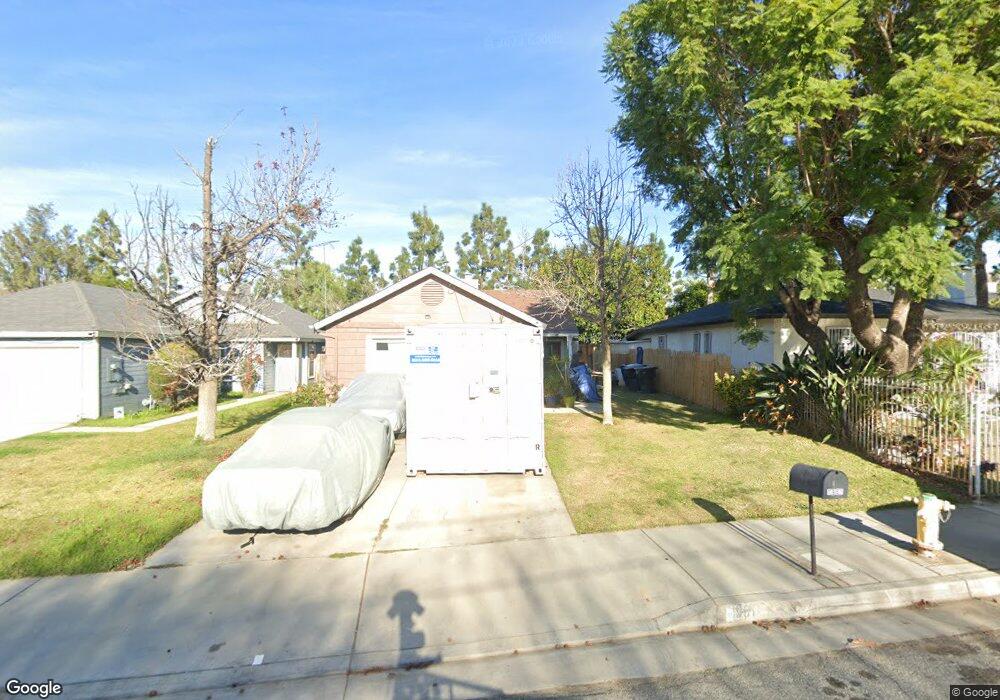
1955 Thornton St Riverside, CA 92507
Estimated Value: $472,000 - $519,391
About This Home
This home is located at 1955 Thornton St, Riverside, CA 92507 and is currently estimated at $493,348, approximately $470 per square foot. 1955 Thornton St is a home located in Riverside County with nearby schools including Highgrove Elementary School, University Heights Middle School, and John W. North High School.
Ownership History
We collect this data history from publicly available records. To have your information removed, we recommend requesting removal directly through your county’s website.
Purchase Details
Home Financials for this Owner
Home Financials are based on the most recent Mortgage that was taken out on this home.Purchase Details
Purchase History
We collect this data history from publicly available records. To have your information removed, we recommend requesting removal directly through your county’s website.
| Date | Buyer | Sale Price | Title Company |
|---|---|---|---|
| $225,000 | Ticor Title Company Of Ca | ||
| -- | -- |
Mortgage History
We collect this data history from publicly available records. To have your information removed, we recommend requesting removal directly through your county’s website.
| Date | Status | Borrower | Loan Amount |
|---|---|---|---|
| Previous Owner | $220,924 |
Tax History
We collect this data history from publicly available records. To have your information removed, we recommend requesting removal directly through your county’s website.
| Year | Tax Paid | Tax Assessment Tax Assessment Total Assessment is a certain percentage of the fair market value that is determined by local assessors to be the total taxable value of land and additions on the property. | Land | Improvement |
|---|---|---|---|---|
| 2025 | $2,923 | $266,348 | $59,186 | $207,162 |
| 2023 | $2,923 | $256,007 | $56,889 | $199,118 |
| 2022 | $2,857 | $250,988 | $55,774 | $195,214 |
| 2021 | $2,828 | $246,068 | $54,681 | $191,387 |
| 2020 | $2,807 | $243,546 | $54,121 | $189,425 |
| 2019 | $2,755 | $238,771 | $53,060 | $185,711 |
| 2018 | $2,702 | $234,090 | $52,020 | $182,070 |
| 2017 | $2,654 | $229,500 | $51,000 | $178,500 |
| 2016 | $1,421 | $125,287 | $46,245 | $79,042 |
| 2015 | $1,400 | $123,406 | $45,551 | $77,855 |
| 2014 | $1,386 | $120,990 | $44,659 | $76,331 |
Map
- 1959 Thornton St
- 1785 Catania Dr
- 1763 Agrigento Ave
- 1747 Palermo Dr
- 1909 Taormina Ct
- 2041 Blenheim St
- 1935 Spring Garden St
- 138 Sir Damas Dr
- 7846 Old Timber Ct
- 7874 Brass Kettle Cir
- 3367 Holding St
- 2595 Atlanta Ave Unit 19
- 157 Sir Damas Dr
- 2993 Lecil St
- 3608 Post St
- 1333 Wheaton Way
- 1390 Clemson Way
- 3469 Columbia Ave
- 1816 Main St
- 46 Round Table Dr
- 1904 Thornton St
- 1920 Thornton St
- 1912 Thornton St
- 1928 Thornton St
- 1909 Thornton St
- 1905 Thornton St
- 1915 Thornton St
- 1901 Thornton St
- 1921 Thornton St
- 1950 Thornton St
- 1927 Thornton St
- 1951 Thornton St
- 2023 Down St
- 1956 Thornton St
- 2005 Down St
- 1794 Agrigento Ave
- 1791 Catania Dr
- 1788 Agrigento Ave
- 1960 Thornton St
- 1963 Thornton St
Ask me questions while you tour the home.