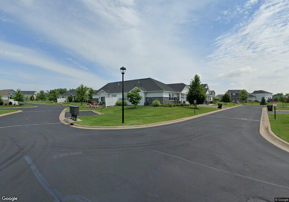
19550 Millpond Way Maple Grove, MN 55311
Estimated Value: $365,130 - $396,000
2
Beds
2
Baths
1,370
Sq Ft
$278/Sq Ft
Est. Value
About This Home
This home is located at 19550 Millpond Way, Maple Grove, MN 55311 and is currently estimated at $380,533, approximately $277 per square foot. 19550 Millpond Way is a home located in Hennepin County with nearby schools including Hanover Elementary School, Buffalo Community Middle School, and Buffalo Senior High School.
Ownership History
Date
Name
Owned For
Owner Type
Purchase Details
Closed on
Jul 30, 2021
Sold by
Vance Susan L
Bought by
Vance Susan L and Vance David R
Current Estimated Value
Purchase Details
Closed on
Jun 4, 2020
Sold by
Grisco Cynthia A Thorud
Bought by
Vance Susan L
Home Financials for this Owner
Home Financials are based on the most recent Mortgage that was taken out on this home.
Original Mortgage
$286,900
Interest Rate
3.2%
Mortgage Type
VA
Purchase Details
Closed on
Apr 12, 2019
Sold by
U S Home Corporation
Bought by
Thorud Grisco Cynthia A
Create a Home Valuation Report for This Property
The Home Valuation Report is an in-depth analysis detailing your home's value as well as a comparison with similar homes in the area
Home Values in the Area
Average Home Value in this Area
Purchase History
| Date | Buyer | Sale Price | Title Company |
|---|---|---|---|
| Vance Susan L | -- | None Listed On Document | |
| Vance Susan L | $286,900 | Edina Realty Title Inc | |
| Thorud Grisco Cynthia A | $266,991 | Calatlantic Title Inc |
Source: Public Records
Mortgage History
| Date | Status | Borrower | Loan Amount |
|---|---|---|---|
| Previous Owner | Vance Susan L | $286,900 |
Source: Public Records
Tax History Compared to Growth
Tax History
| Year | Tax Paid | Tax Assessment Tax Assessment Total Assessment is a certain percentage of the fair market value that is determined by local assessors to be the total taxable value of land and additions on the property. | Land | Improvement |
|---|---|---|---|---|
| 2024 | $4,101 | $352,700 | $60,000 | $292,700 |
| 2023 | $3,928 | $348,900 | $55,000 | $293,900 |
| 2022 | $3,564 | $340,000 | $55,000 | $285,000 |
| 2021 | $3,477 | $290,000 | $32,000 | $258,000 |
| 2020 | $3,944 | $280,000 | $25,000 | $255,000 |
| 2019 | $479 | $295,800 | $30,000 | $265,800 |
| 2018 | $171 | $30,300 | $30,300 | $0 |
Source: Public Records
Map
Nearby Homes
- 11500 Brookview Dr
- 11460 Grassland Way
- 19690 116th Ave N
- 18660 Territorial Rd
- 11633 Minnesota Ln N
- XXX Brockton Ln N
- 12117 Malisa Ct
- 19674 105th Ave
- 19638 105th Ave
- 19614 105th Ave
- 19590 105th Ave
- 19602 105th Ave
- 19566 105th Ave
- 19554 105th Ave
- 19649 105th Ave
- 19661 105th Ave
- 10435 Northwood Ln
- 10427 Northwood Ln
- 10419 Northwood Ln
- 19503 105th Ave
- 19555 Laurel Ct
- 19530 Millpond Way
- 19535 Laurel Ct
- 19553 Millpond Way
- 19537 Millpond Way
- 19525 Pine Tree Place
- 19600 Millpond Way
- 19554 Meadow Trail
- 19538 Meadow Trail
- 19605 Laurel Ct
- 19540 Laurel Ct
- 19603 Mill Pond Way
- 19580 Laurel Ct
- 19520 Laurel Ct
- 19604 Meadow Trail
- 19620 Millpond Way
- 19545 Pine Tree Place
- 19625 Laurel Ct
- 19600 Laurel Ct
- 19585 Pine Tree Place