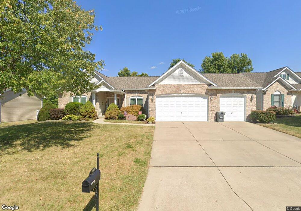
1956 Homefield Estates Dr O Fallon, MO 63366
Estimated Value: $403,940 - $479,000
3
Beds
2
Baths
2,145
Sq Ft
$207/Sq Ft
Est. Value
About This Home
This home is located at 1956 Homefield Estates Dr, O Fallon, MO 63366 and is currently estimated at $443,985, approximately $206 per square foot. 1956 Homefield Estates Dr is a home located in St. Charles County with nearby schools including Westhoff Elementary School, Fort Zumwalt North Middle School, and Fort Zumwalt North High School.
Ownership History
Date
Name
Owned For
Owner Type
Purchase Details
Closed on
Jan 3, 2022
Sold by
Sommer Edward J and Sommer Karen L
Bought by
Edward J Sommer And Karen L Sommer Revocable and So Karen
Current Estimated Value
Purchase Details
Closed on
Nov 3, 2000
Sold by
Tr Hughes Inc
Bought by
Sommer Edward J and Sommer Karen L
Home Financials for this Owner
Home Financials are based on the most recent Mortgage that was taken out on this home.
Original Mortgage
$109,000
Interest Rate
7.9%
Purchase Details
Closed on
Aug 24, 2000
Sold by
Summit Pointe Lc
Bought by
Tr Hughes Inc
Home Financials for this Owner
Home Financials are based on the most recent Mortgage that was taken out on this home.
Original Mortgage
$161,000
Interest Rate
8.15%
Mortgage Type
Construction
Create a Home Valuation Report for This Property
The Home Valuation Report is an in-depth analysis detailing your home's value as well as a comparison with similar homes in the area
Home Values in the Area
Average Home Value in this Area
Purchase History
| Date | Buyer | Sale Price | Title Company |
|---|---|---|---|
| Edward J Sommer And Karen L Sommer Revocable | -- | None Listed On Document | |
| Sommer Edward J | $204,566 | -- | |
| Tr Hughes Inc | -- | -- |
Source: Public Records
Mortgage History
| Date | Status | Borrower | Loan Amount |
|---|---|---|---|
| Previous Owner | Sommer Edward J | $109,000 | |
| Previous Owner | Tr Hughes Inc | $161,000 |
Source: Public Records
Tax History
| Year | Tax Paid | Tax Assessment Tax Assessment Total Assessment is a certain percentage of the fair market value that is determined by local assessors to be the total taxable value of land and additions on the property. | Land | Improvement |
|---|---|---|---|---|
| 2025 | $4,693 | $78,537 | -- | -- |
| 2023 | $4,695 | $71,079 | $0 | $0 |
| 2022 | $3,988 | $56,120 | $0 | $0 |
| 2021 | $3,991 | $56,120 | $0 | $0 |
| 2020 | $3,993 | $54,382 | $0 | $0 |
| 2019 | $4,002 | $54,382 | $0 | $0 |
| 2018 | $3,760 | $48,761 | $0 | $0 |
| 2017 | $3,716 | $48,761 | $0 | $0 |
| 2016 | $3,191 | $41,694 | $0 | $0 |
| 2015 | $2,966 | $41,694 | $0 | $0 |
| 2014 | $2,850 | $39,380 | $0 | $0 |
Source: Public Records
Map
Nearby Homes
- 122 Courtfield Dr
- 354 Highgrove Place Dr
- 730 Homerun Dr Unit 76N
- 231 England Dr
- 487 Chatham Dr
- 1805 Sapling Dr
- 1806 Sapling Dr
- 2837 Grand Slam Dr
- 634 Homerun Dr Unit 34N
- 632 Homerun Dr Unit 33N
- 19 Homefield Gardens Dr Unit 27N
- 17 Homefield Gardens Dr
- 811 Homefield Grove Ct
- 1612 Homefield Meadows Dr
- 31 Piepers Glen Ct
- 6 S Boxwood Ln
- 201 Allen Dr
- 1020 Ashfield Ln
- 765 Koch Rd
- 0 Tom Ginnever Ave
- 1960 Homefield Estates Dr
- 1952 Homefield Estates Dr
- 2625 Montauk Dr
- 1964 Homefield Estates Dr
- 1948 Homefield Estates Dr
- 2623 Montauk Dr
- 1955 Homefield Estates Dr
- 1959 Homefield Estates Dr
- 1951 Homefield Estates Dr
- 2627 Montauk Dr
- 1949 Royal Heir Dr
- 1953 Royal Heir Dr
- 2621 Montauk Dr
- 1944 Homefield Estates Dr
- 1968 Homefield Estates Dr
- 1963 Homefield Estates Dr
- 1947 Homefield Estates Dr
- 128 Courtfield Dr
- 2626 Montauk Dr
- 1943 Homefield Estates Dr
Your Personal Tour Guide
Ask me questions while you tour the home.