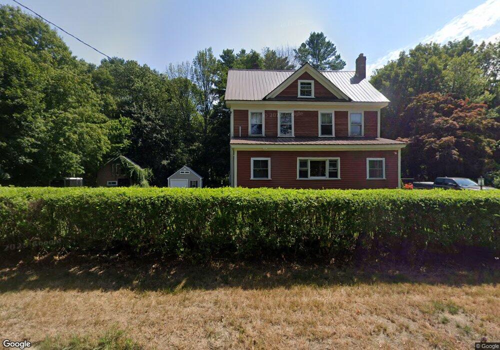
196 7 Star Rd Groveland, MA 01834
Estimated Value: $667,057 - $803,000
4
Beds
2
Baths
1,580
Sq Ft
$449/Sq Ft
Est. Value
About This Home
This home is located at 196 7 Star Rd, Groveland, MA 01834 and is currently estimated at $710,014, approximately $449 per square foot. 196 7 Star Rd is a home located in Essex County with nearby schools including Pentucket Regional High School.
Create a Home Valuation Report for This Property
The Home Valuation Report is an in-depth analysis detailing your home's value as well as a comparison with similar homes in the area
Home Values in the Area
Average Home Value in this Area
Tax History Compared to Growth
Tax History
| Year | Tax Paid | Tax Assessment Tax Assessment Total Assessment is a certain percentage of the fair market value that is determined by local assessors to be the total taxable value of land and additions on the property. | Land | Improvement |
|---|---|---|---|---|
| 2025 | $7,674 | $604,700 | $219,100 | $385,600 |
| 2024 | $7,470 | $551,700 | $207,800 | $343,900 |
| 2023 | $6,766 | $515,300 | $188,900 | $326,400 |
| 2022 | $6,566 | $453,800 | $166,200 | $287,600 |
| 2021 | $6,197 | $421,000 | $151,100 | $269,900 |
| 2020 | $5,707 | $406,200 | $139,800 | $266,400 |
| 2019 | $5,398 | $376,200 | $139,800 | $236,400 |
| 2018 | $5,189 | $353,200 | $132,200 | $221,000 |
| 2017 | $5,009 | $341,200 | $132,200 | $209,000 |
| 2016 | $4,803 | $318,300 | $124,700 | $193,600 |
| 2015 | $4,348 | $297,600 | $117,100 | $180,500 |
| 2014 | $4,211 | $279,600 | $117,100 | $162,500 |
Source: Public Records
Map
Nearby Homes
- 123 Pond St
- Lot 9 Katie Ln
- Lot 8 Katie Ln
- 231 W Main St
- 98 King St
- 206 W Main St Unit 3
- 206 W Main St Unit 5
- 206 W Main St Unit 6
- 206 W Main St Unit 4
- Lot 11A King St
- 18 Larch Rd
- 51 W Main St Unit 6
- 89 King St
- 5 Charles St
- 0 Wood St
- 34 E Main St Unit 2
- 6 Winter St
- 52 E Main St
- 603 Alyssa Dr Unit 603
- 30 Forest St