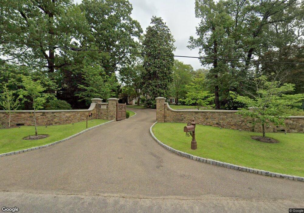
196 Cherry Cir W Memphis, TN 38117
Audubon Park NeighborhoodEstimated Value: $1,405,000 - $2,605,006
6
Beds
8
Baths
8,045
Sq Ft
$268/Sq Ft
Est. Value
About This Home
This home is located at 196 Cherry Cir W, Memphis, TN 38117 and is currently estimated at $2,153,669, approximately $267 per square foot. 196 Cherry Cir W is a home located in Shelby County with nearby schools including White Station Elementary School, White Station High, and White Station Middle.
Ownership History
Date
Name
Owned For
Owner Type
Purchase Details
Closed on
Aug 20, 2020
Sold by
Morrison Joseph M
Bought by
Morrison Brandon G
Current Estimated Value
Purchase Details
Closed on
Sep 27, 2006
Sold by
Tayloe Howard K
Bought by
Morrison Joseph M and Morrison Brandon G
Purchase Details
Closed on
Mar 15, 2000
Sold by
Rich Margaret Ann
Bought by
Uiberall Michael D and Margaret Ann Green Rich Trust
Create a Home Valuation Report for This Property
The Home Valuation Report is an in-depth analysis detailing your home's value as well as a comparison with similar homes in the area
Home Values in the Area
Average Home Value in this Area
Purchase History
| Date | Buyer | Sale Price | Title Company |
|---|---|---|---|
| Morrison Brandon G | -- | None Available | |
| Morrison Brandon G | -- | None Available | |
| Morrison Joseph M | $750,000 | None Available | |
| Uiberall Michael D | -- | -- |
Source: Public Records
Tax History Compared to Growth
Tax History
| Year | Tax Paid | Tax Assessment Tax Assessment Total Assessment is a certain percentage of the fair market value that is determined by local assessors to be the total taxable value of land and additions on the property. | Land | Improvement |
|---|---|---|---|---|
| 2025 | $16,364 | $586,150 | $166,725 | $419,425 |
| 2024 | $16,364 | $482,700 | $131,100 | $351,600 |
| 2023 | $29,404 | $482,700 | $131,100 | $351,600 |
| 2022 | $29,404 | $482,700 | $131,100 | $351,600 |
| 2021 | $33,054 | $536,325 | $131,100 | $405,225 |
| 2020 | $35,705 | $492,750 | $131,100 | $361,650 |
| 2019 | $15,748 | $492,750 | $131,100 | $361,650 |
| 2018 | $15,748 | $492,750 | $131,100 | $361,650 |
| 2017 | $17,181 | $525,175 | $131,100 | $394,075 |
| 2016 | $20,396 | $466,725 | $0 | $0 |
| 2014 | $20,396 | $466,725 | $0 | $0 |
Source: Public Records
Map
Nearby Homes
- 135 Cherry Rd
- 196 E Cherry Cir
- 326 Cherry Cir E
- 4286 Poplar Ave
- 271 Wakefield Dr
- 371 W Cherry Cir
- 4359 W Cherry Place Dr
- 137 Perkins Extension
- 4143 Gwynne Rd
- 4400 Poplar Ave Unit 48
- 4400 Poplar Ave Unit 45
- 4400 Poplar Ave Unit 25
- 4237 Boxwood Green Ln
- 154 Perkins Extension
- 4142 Poplar Ave
- 78 Pidgeon Rd
- 4563 Aldersgate Rd
- 69 Goodway Ln
- 4105 Tuckahoe Rd
- 427 S Perkins Rd Unit 427-2
- 210 W Cherry Cir
- 4363 Tuckahoe Rd
- 4351 Tuckahoe Rd
- 4369 Tuckahoe Rd
- 4373 Tuckahoe Rd
- 226 W Cherry Cir
- 4381 Tuckahoe Rd
- 207 E Cherry Cir
- 4331 Tuckahoe Rd
- 238 W Cherry Cir
- 4356 Tuckahoe Rd
- 4366 Tuckahoe Rd
- 4350 Tuckahoe Rd
- 191 E Cherry Cir
- 4403 Tuckahoe Rd
- 4344 Tuckahoe Rd
- 176 Cherry Rd
- 215 Cherry Cir E
- 199 Cherry Cir W
- 223 E Cherry Cir