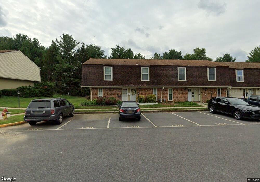
196 King William St Unit 196 Newark, DE 19711
2
Beds
2
Baths
992
Sq Ft
--
Built
About This Home
This home is located at 196 King William St Unit 196, Newark, DE 19711. 196 King William St Unit 196 is a home located in New Castle County with nearby schools including Downes (John R.) Elementary School, Shue-Medill Middle School, and Newark High School.
Create a Home Valuation Report for This Property
The Home Valuation Report is an in-depth analysis detailing your home's value as well as a comparison with similar homes in the area
Home Values in the Area
Average Home Value in this Area
Tax History
| Year | Tax Paid | Tax Assessment Tax Assessment Total Assessment is a certain percentage of the fair market value that is determined by local assessors to be the total taxable value of land and additions on the property. | Land | Improvement |
|---|---|---|---|---|
| 2025 | $916 | $202,300 | $35,000 | $167,300 |
| 2024 | $397 | $37,600 | $5,600 | $32,000 |
| 2023 | $860 | $37,600 | $5,600 | $32,000 |
| 2022 | $845 | $37,600 | $5,600 | $32,000 |
| 2021 | $911 | $37,600 | $5,600 | $32,000 |
| 2020 | $873 | $37,600 | $5,600 | $32,000 |
| 2019 | $716 | $37,600 | $5,600 | $32,000 |
| 2018 | $690 | $37,600 | $5,600 | $32,000 |
| 2017 | $658 | $37,600 | $5,600 | $32,000 |
| 2016 | $607 | $37,600 | $5,600 | $32,000 |
| 2015 | $553 | $37,600 | $5,600 | $32,000 |
| 2014 | $552 | $37,600 | $5,600 | $32,000 |
Source: Public Records
Map
Nearby Homes
- 170 King William St Unit 170
- 153 King William St Unit 153
- 128 King William St
- 109 King William St
- 7 E Galloway Ct
- 313 Chickory Way
- 117 W Shetland Ct
- 2 Green Meadow Ct
- 370 Chickory Way
- 19 Country Hills Dr
- 43 Julie Ln
- 8 Sue Ln
- 1302 Barksdale Rd
- 513 Valley Rd
- 0001 Leahy Dr
- 3 Leahy Dr
- 2 Leahy Dr
- 507 Leahy Dr
- 306 Vassar Dr
- 11 Buttercup Cir
- 194 King William St
- 198 King William St Unit 198
- 192 King William St
- 190 King William St
- 188 King William St Unit 188
- 200 King William St
- 186 King William St
- 202 King William St
- 184 King William St Unit 184
- 204 King William St Unit 204
- 21 E Shetland Ct
- 158 King William St Unit 158
- 165 King William St Unit 165
- 167 King William St Unit 167
- 169 King William St
- 206 King William St
- 156 King William St
- 171 King William St Unit 171
- 208 King William St Unit 208
- 154 King William St
Your Personal Tour Guide
Ask me questions while you tour the home.