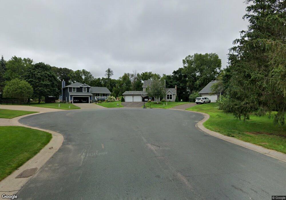
196 Loretta Ln Saint Paul, MN 55115
Estimated Value: $503,000 - $587,000
3
Beds
3
Baths
2,222
Sq Ft
$245/Sq Ft
Est. Value
About This Home
This home is located at 196 Loretta Ln, Saint Paul, MN 55115 and is currently estimated at $544,541, approximately $245 per square foot. 196 Loretta Ln is a home located in Washington County with nearby schools including O.H. Anderson Elementary School, Wildwood Elementary School, and Mahtomedi Middle School.
Ownership History
Date
Name
Owned For
Owner Type
Purchase Details
Closed on
Sep 27, 2021
Sold by
Carpentier Katie A and Carpentier Katie Ann
Bought by
Brown Samuel A and Brown Sonja L
Current Estimated Value
Home Financials for this Owner
Home Financials are based on the most recent Mortgage that was taken out on this home.
Original Mortgage
$393,750
Outstanding Balance
$359,063
Interest Rate
2.8%
Mortgage Type
New Conventional
Estimated Equity
$185,478
Purchase Details
Closed on
Jun 18, 2015
Sold by
Thell Michael B and Thell Paula K
Bought by
Carpentier Katie Ann
Home Financials for this Owner
Home Financials are based on the most recent Mortgage that was taken out on this home.
Original Mortgage
$225,000
Interest Rate
3.83%
Mortgage Type
New Conventional
Purchase Details
Closed on
Dec 10, 1999
Sold by
Rech David B and Rech Mardell M
Bought by
Thell Michael B and Thell Paula K
Create a Home Valuation Report for This Property
The Home Valuation Report is an in-depth analysis detailing your home's value as well as a comparison with similar homes in the area
Home Values in the Area
Average Home Value in this Area
Purchase History
| Date | Buyer | Sale Price | Title Company |
|---|---|---|---|
| Brown Samuel A | $450,000 | All American Title Co Inc | |
| Carpentier Katie Ann | $325,000 | Title Recording Svcs | |
| Thell Michael B | $215,000 | -- | |
| Brown Samuel Samuel | $450,000 | -- |
Source: Public Records
Mortgage History
| Date | Status | Borrower | Loan Amount |
|---|---|---|---|
| Open | Brown Samuel A | $393,750 | |
| Previous Owner | Carpentier Katie Ann | $225,000 | |
| Closed | Brown Samuel Samuel | $450,000 |
Source: Public Records
Tax History Compared to Growth
Tax History
| Year | Tax Paid | Tax Assessment Tax Assessment Total Assessment is a certain percentage of the fair market value that is determined by local assessors to be the total taxable value of land and additions on the property. | Land | Improvement |
|---|---|---|---|---|
| 2024 | $4,962 | $457,400 | $166,500 | $290,900 |
| 2023 | $4,962 | $457,100 | $181,500 | $275,600 |
| 2022 | $4,504 | $437,700 | $177,600 | $260,100 |
| 2021 | $4,580 | $350,800 | $145,000 | $205,800 |
| 2020 | $4,330 | $368,000 | $161,000 | $207,000 |
| 2019 | $4,476 | $345,000 | $135,000 | $210,000 |
| 2018 | $4,136 | $338,800 | $145,000 | $193,800 |
| 2017 | $3,832 | $332,300 | $145,000 | $187,300 |
| 2016 | $3,966 | $293,800 | $133,800 | $160,000 |
| 2015 | $3,862 | $267,000 | $103,500 | $163,500 |
| 2013 | -- | $244,200 | $91,100 | $153,100 |
Source: Public Records
Map
Nearby Homes
- 341 Wedgewood Dr
- 514 Wildwood Ave
- 285 Old Wildwood Rd
- 5 Five Oaks Ln
- 169 Wedgewood Dr
- 2721 Mayfair Ct
- 766 Sterling Ct
- 150 Cedar St
- 745 Sterling Ct
- 824 Woodland Dr
- 739 Echo Shores Ct
- 13 Echo Lake Blvd
- 115 Wildwood Beach Rd
- 766 Woodridge Ct
- 3532 Rolling View Dr
- 941 Pineridge Ct
- 2531 Mayfair Ave
- 2569 Stacker Blvd
- 83 Dahlia St
- XXXX Glen Oaks Ave