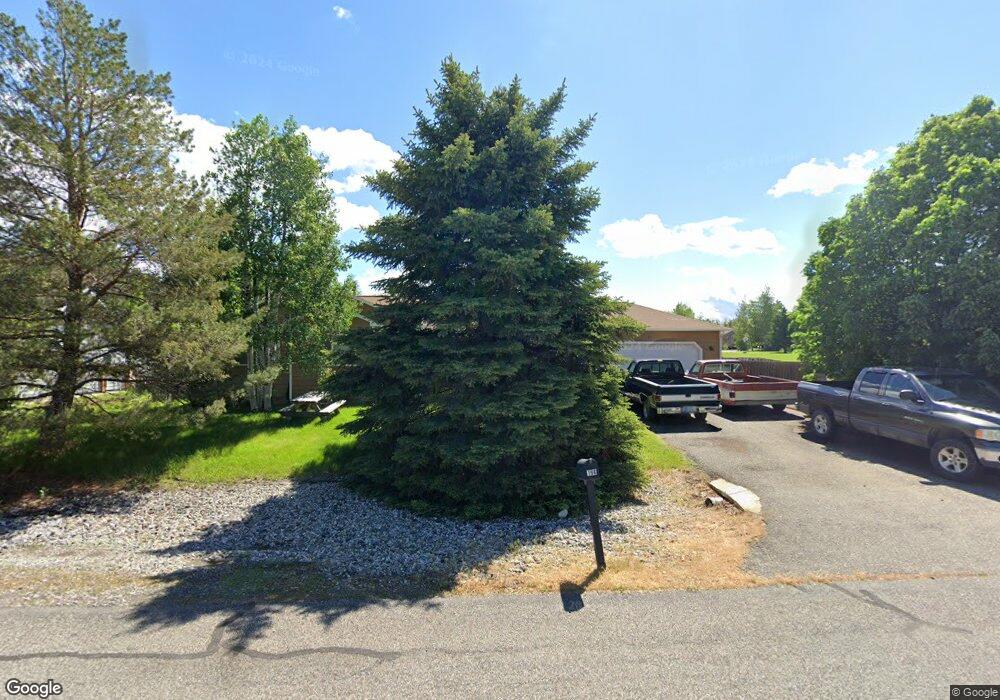
196 Mountain Lion Trail Bozeman, MT 59718
Estimated Value: $637,791 - $672,000
3
Beds
2
Baths
1,387
Sq Ft
$473/Sq Ft
Est. Value
About This Home
This home is located at 196 Mountain Lion Trail, Bozeman, MT 59718 and is currently estimated at $656,264, approximately $473 per square foot. 196 Mountain Lion Trail is a home located in Gallatin County with nearby schools including Heck/Quaw Elementary School, Belgrade High School, and Great Beginnings Montessori School.
Ownership History
Date
Name
Owned For
Owner Type
Purchase Details
Closed on
Nov 21, 2012
Sold by
Sartain Wesley E and Saratain Amber S
Bought by
Sartain Wesley E and Sartain Amber S
Current Estimated Value
Home Financials for this Owner
Home Financials are based on the most recent Mortgage that was taken out on this home.
Original Mortgage
$177,000
Interest Rate
3.35%
Mortgage Type
New Conventional
Purchase Details
Closed on
Oct 12, 2007
Sold by
Sartain Wesley E
Bought by
Sartain Wesley E and Farrington Amber S
Home Financials for this Owner
Home Financials are based on the most recent Mortgage that was taken out on this home.
Original Mortgage
$183,750
Interest Rate
6.4%
Mortgage Type
New Conventional
Create a Home Valuation Report for This Property
The Home Valuation Report is an in-depth analysis detailing your home's value as well as a comparison with similar homes in the area
Home Values in the Area
Average Home Value in this Area
Purchase History
| Date | Buyer | Sale Price | Title Company |
|---|---|---|---|
| Sartain Wesley E | -- | Montana Title & Escrow | |
| Sartain Wesley E | -- | Montana Title & Escrow Inc |
Source: Public Records
Mortgage History
| Date | Status | Borrower | Loan Amount |
|---|---|---|---|
| Closed | Sartain Wesley E | $177,000 | |
| Closed | Sartain Wesley E | $183,750 |
Source: Public Records
Tax History Compared to Growth
Tax History
| Year | Tax Paid | Tax Assessment Tax Assessment Total Assessment is a certain percentage of the fair market value that is determined by local assessors to be the total taxable value of land and additions on the property. | Land | Improvement |
|---|---|---|---|---|
| 2025 | $2,494 | $637,800 | $0 | $0 |
| 2024 | $4,015 | $663,500 | $0 | $0 |
| 2023 | $4,002 | $663,500 | $0 | $0 |
| 2022 | $2,659 | $354,700 | $0 | $0 |
| 2021 | $2,816 | $354,700 | $0 | $0 |
| 2020 | $2,485 | $309,600 | $0 | $0 |
| 2019 | $2,531 | $309,600 | $0 | $0 |
| 2018 | $2,352 | $271,400 | $0 | $0 |
| 2017 | $2,291 | $271,400 | $0 | $0 |
| 2016 | $2,065 | $228,200 | $0 | $0 |
| 2015 | $1,925 | $228,200 | $0 | $0 |
| 2014 | $1,834 | $132,447 | $0 | $0 |
Source: Public Records
Map
Nearby Homes
- Lot 2A Bison Trail
- 339 Mountain Lion Trail
- 174 Valley Grove Dr
- 283 Valley Grove Dr
- 126 Pathfinder Trail
- 12 Pathfinder Trail
- 370 Prospector Trail
- 11 Liberty Dr
- 9 Liberty Dr
- 6 Liberty Dr
- 13 Liberty Dr
- 5 Liberty Dr
- 604 Morrison Ave Unit B
- TBD E Cameron Bridge Rd
- 47 Poplar Dr
- 1 Candlelight Dr
- 23 Tailwater Dr
- 16 Tailwater Dr
- 17 Tailwater Dr
- 19 Tailwater Dr
- 216 Mountain Lion Trail
- 177 Mountain Lion Trail
- 236 Mountain Lion Trail
- 197 Mountain Lion Trail
- 215 Mountain Lion Trail
- 235 Mountain Lion Trail
- 159 Mountain Lion Trail
- 140 Mountain Lion Trail
- 137 Buckhorn Trail
- 157 Buckhorn Trail
- 264 Mountain Lion Trail
- 124 Frontier Dr
- 139 Mountain Lion Trail
- 175 Buckhorn Trail
- 263 Mountain Lion Trail
- 120 Mountain Lion Trail
- 134 Vigilante Trail
- 156 Vigilante Trail
- 180 Frontier Dr
- 190 Frontier Dr