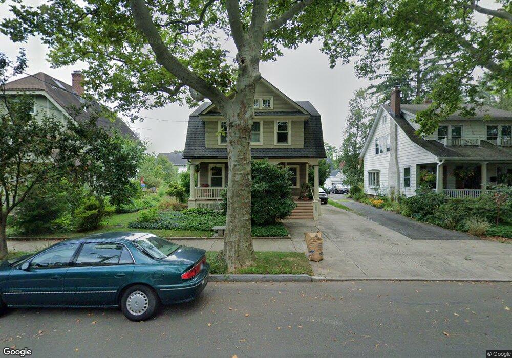
196 W Rock Ave New Haven, CT 06515
Westville NeighborhoodEstimated Value: $477,225 - $502,000
3
Beds
2
Baths
1,692
Sq Ft
$292/Sq Ft
Est. Value
About This Home
This home is located at 196 W Rock Ave, New Haven, CT 06515 and is currently estimated at $493,306, approximately $291 per square foot. 196 W Rock Ave is a home located in New Haven County with nearby schools including Elm City Montessori School, Hopkins School, and Yeshiva Gedolah Rabbinical Inst.
Ownership History
Date
Name
Owned For
Owner Type
Purchase Details
Closed on
Jul 15, 1999
Sold by
Northway Jennifer E and Orsini Ernest P
Bought by
Thurston Torin R and Thurston Patricia K
Current Estimated Value
Home Financials for this Owner
Home Financials are based on the most recent Mortgage that was taken out on this home.
Original Mortgage
$124,800
Outstanding Balance
$34,488
Interest Rate
7.39%
Estimated Equity
$458,818
Purchase Details
Closed on
Jul 31, 1997
Sold by
Merriam Cynthia A
Bought by
Northway Jennifer E and Orsini Ernest P
Home Financials for this Owner
Home Financials are based on the most recent Mortgage that was taken out on this home.
Original Mortgage
$104,500
Interest Rate
7.13%
Mortgage Type
Unknown
Create a Home Valuation Report for This Property
The Home Valuation Report is an in-depth analysis detailing your home's value as well as a comparison with similar homes in the area
Home Values in the Area
Average Home Value in this Area
Purchase History
| Date | Buyer | Sale Price | Title Company |
|---|---|---|---|
| Thurston Torin R | $156,000 | -- | |
| Northway Jennifer E | $110,000 | -- | |
| Merriam Cynthia A | $110,000 | -- |
Source: Public Records
Mortgage History
| Date | Status | Borrower | Loan Amount |
|---|---|---|---|
| Open | Merriam Cynthia A | $124,800 | |
| Previous Owner | Merriam Cynthia A | $104,500 | |
| Previous Owner | Merriam Cynthia A | $50,000 |
Source: Public Records
Tax History Compared to Growth
Tax History
| Year | Tax Paid | Tax Assessment Tax Assessment Total Assessment is a certain percentage of the fair market value that is determined by local assessors to be the total taxable value of land and additions on the property. | Land | Improvement |
|---|---|---|---|---|
| 2025 | $8,872 | $225,190 | $74,200 | $150,990 |
| 2024 | $8,670 | $225,190 | $74,200 | $150,990 |
| 2023 | $8,377 | $225,190 | $74,200 | $150,990 |
| 2022 | $8,951 | $225,190 | $74,200 | $150,990 |
| 2021 | $7,780 | $177,310 | $57,890 | $119,420 |
| 2020 | $7,780 | $177,310 | $57,890 | $119,420 |
| 2019 | $7,621 | $177,310 | $57,890 | $119,420 |
| 2018 | $7,621 | $177,310 | $57,890 | $119,420 |
| 2017 | $6,858 | $177,310 | $57,890 | $119,420 |
| 2016 | $7,673 | $184,660 | $68,530 | $116,130 |
| 2015 | $7,673 | $184,660 | $68,530 | $116,130 |
| 2014 | $7,673 | $184,660 | $68,530 | $116,130 |
Source: Public Records
Map
Nearby Homes
- 206 W Rock Ave
- 55 Marvel Rd
- 595 Central Ave
- 119 Westwood Rd
- 126 Willard St
- 96 Hubinger St
- 1975 Chapel St
- 1016 Whalley Ave Unit 6
- 907 Elm St
- 999 Whalley Ave Unit 1H
- 257 Blake St
- 865 Elm St
- 868 Elm St
- 151 Fitch St
- 360 Fountain St Unit 5
- 471 Whalley Ave Unit G
- 120 Emerson St
- 57 Austin St
- 141 Valley St
- 168 Ellsworth Ave
- 190 W Rock Ave
- 200 W Rock Ave
- 184 W Rock Ave
- 425 Central Ave
- 421 Central Ave
- 180 W Rock Ave
- 208 W Rock Ave
- 433 Central Ave
- 415 Central Ave
- 439 Central Ave Unit 3A
- 439 Central Ave Unit D3
- 439 Central Ave Unit C3
- 439 Central Ave Unit B3
- 439 Central Ave Unit A3
- 439 Central Ave Unit D2
- 439 Central Ave Unit C2
- 439 Central Ave Unit B2
- 439 Central Ave Unit A2
- 439 Central Ave Unit D1
- 439 Central Ave Unit C1