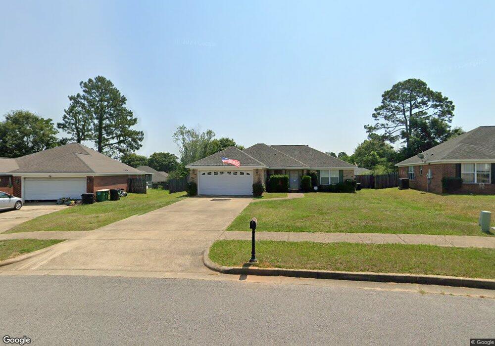
1961 E Clarke Rd Mobile, AL 36695
Yorkwood NeighborhoodEstimated Value: $199,000 - $234,000
3
Beds
2
Baths
1,497
Sq Ft
$145/Sq Ft
Est. Value
About This Home
This home is located at 1961 E Clarke Rd, Mobile, AL 36695 and is currently estimated at $217,793, approximately $145 per square foot. 1961 E Clarke Rd is a home located in Mobile County with nearby schools including O'rourke Elementary School, Bernice J Causey Middle School, and Baker High School.
Ownership History
Date
Name
Owned For
Owner Type
Purchase Details
Closed on
Nov 10, 2008
Sold by
Schurdell Michael R and Schurdell Karen S
Bought by
Impastato Nicholas P and Impastato Laura B
Current Estimated Value
Home Financials for this Owner
Home Financials are based on the most recent Mortgage that was taken out on this home.
Original Mortgage
$97,600
Outstanding Balance
$63,362
Interest Rate
6.11%
Mortgage Type
Unknown
Estimated Equity
$154,431
Create a Home Valuation Report for This Property
The Home Valuation Report is an in-depth analysis detailing your home's value as well as a comparison with similar homes in the area
Home Values in the Area
Average Home Value in this Area
Purchase History
| Date | Buyer | Sale Price | Title Company |
|---|---|---|---|
| Impastato Nicholas P | $122,500 | None Available |
Source: Public Records
Mortgage History
| Date | Status | Borrower | Loan Amount |
|---|---|---|---|
| Open | Impastato Nicholas P | $97,600 |
Source: Public Records
Tax History
| Year | Tax Paid | Tax Assessment Tax Assessment Total Assessment is a certain percentage of the fair market value that is determined by local assessors to be the total taxable value of land and additions on the property. | Land | Improvement |
|---|---|---|---|---|
| 2025 | $914 | $22,490 | $3,000 | $19,490 |
| 2024 | $914 | $21,180 | $2,800 | $18,380 |
| 2023 | $971 | $17,590 | $2,820 | $14,770 |
| 2022 | $739 | $16,600 | $2,560 | $14,040 |
| 2021 | $677 | $15,330 | $2,560 | $12,770 |
| 2020 | $685 | $15,480 | $2,560 | $12,920 |
| 2019 | $647 | $14,720 | $0 | $0 |
| 2018 | $650 | $14,780 | $0 | $0 |
| 2017 | $658 | $14,940 | $0 | $0 |
| 2016 | $659 | $14,960 | $0 | $0 |
| 2013 | $574 | $13,100 | $0 | $0 |
Source: Public Records
Map
Nearby Homes
- 1897 Burnham Ct
- 2155 Brittany Dr
- 8400 Kendall Ct N
- 1720 Leroy Stevens Rd
- 2200 O'Rourke Dr
- 8367 Calgary Dr S
- 8690 W Anvil Ct
- 2261 Vulcan Ct
- 8700 Irongate Way
- 1645 Dawes Rd
- 2316 Leroy Stevens Rd
- 8391 Jeff Hamilton Road Extension
- 8391 Jeff Hamilton Road Extension
- 8011 Suzanne Way
- 0 Walter Ct Unit 7008922
- 0 Walter Ct Unit 7008907
- 0 Walter Ct Unit 7008918
- 8555 the Pines of Dawes Dr
- 8565 the Pines of Dawes Dr
- 8577 the Pines of Dawes Dr
- 1955 E Clarke Rd
- 1965 E Clarke Rd
- 1955 E Clarke Rd
- 1951 E Clarke Rd
- 1990 W Rachael Dr
- 8420 Jeptha Ct
- 1980 W Rachael Dr
- 8410 Jeptha Ct
- 1964 E Clarke Rd
- 1945 E Clarke Rd
- 1970 W Rachael Dr
- 1945 E Clarke Rd
- 8400 Jeptha Ct
- 1970 E Clarke Rd
- 2000 W Rachael Dr
- 1958 E Clarke Rd
- 1960 W Rachael Dr
- 1976 E Clarke Rd
- 1941 E Clarke Rd
- 8390 Jeptha Ct
Your Personal Tour Guide
Ask me questions while you tour the home.