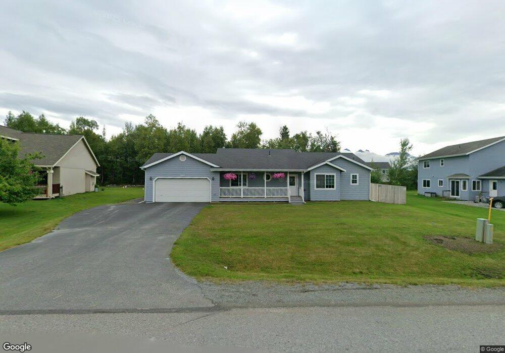
1961 S Bronco Cir Wasilla, AK 99654
Gateway NeighborhoodEstimated Value: $204,000 - $433,000
3
Beds
3
Baths
1,833
Sq Ft
$195/Sq Ft
Est. Value
About This Home
This home is located at 1961 S Bronco Cir, Wasilla, AK 99654 and is currently estimated at $358,155, approximately $195 per square foot. 1961 S Bronco Cir is a home located in Matanuska-Susitna Borough with nearby schools including Fred & Sara Machetanz Elementary School, Teeland Middle School, and Colony High School.
Ownership History
Date
Name
Owned For
Owner Type
Purchase Details
Closed on
Feb 22, 2007
Sold by
Selway Corp
Bought by
Barksdale David A
Current Estimated Value
Home Financials for this Owner
Home Financials are based on the most recent Mortgage that was taken out on this home.
Original Mortgage
$203,778
Outstanding Balance
$122,393
Interest Rate
6.21%
Mortgage Type
Purchase Money Mortgage
Estimated Equity
$235,762
Create a Home Valuation Report for This Property
The Home Valuation Report is an in-depth analysis detailing your home's value as well as a comparison with similar homes in the area
Home Values in the Area
Average Home Value in this Area
Purchase History
| Date | Buyer | Sale Price | Title Company |
|---|---|---|---|
| Barksdale David A | -- | First American Title Ins Co |
Source: Public Records
Mortgage History
| Date | Status | Borrower | Loan Amount |
|---|---|---|---|
| Open | Barksdale David A | $203,778 |
Source: Public Records
Tax History Compared to Growth
Tax History
| Year | Tax Paid | Tax Assessment Tax Assessment Total Assessment is a certain percentage of the fair market value that is determined by local assessors to be the total taxable value of land and additions on the property. | Land | Improvement |
|---|---|---|---|---|
| 2025 | $1,068 | $363,500 | $58,500 | $305,000 |
| 2024 | $1,068 | $356,300 | $58,500 | $297,800 |
| 2023 | $921 | $339,600 | $58,500 | $281,100 |
| 2022 | $1,209 | $311,100 | $58,500 | $252,600 |
| 2021 | $824 | $275,300 | $58,500 | $216,800 |
| 2020 | $629 | $260,400 | $58,500 | $201,900 |
| 2019 | $548 | $254,600 | $58,500 | $196,100 |
| 2018 | $528 | $248,500 | $58,500 | $190,000 |
| 2017 | $335 | $240,500 | $52,000 | $188,500 |
| 2016 | $354 | $242,400 | $52,000 | $190,400 |
| 2015 | $620 | $231,600 | $50,000 | $181,600 |
| 2014 | $620 | $220,200 | $50,000 | $170,200 |
Source: Public Records
Map
Nearby Homes
- 2078 S Withers Rd
- 2720 S Capon Place
- 5740 E Blue Lupine Dr
- 5794 E Morning Mist Dr
- 940 S Serrano Dr
- 850 S Hassler Dr
- 3241 S Barn Gable Loop
- 5044 E Loft Cir
- 2206 S Sanctuary Dr
- 495 S Harriette St
- 3261 S Charming Valley Loop
- 530 S Harriette St
- 2317 S Sanctuary Dr
- 2154 S Sanctuary Dr
- 2445 S Sanctuary Dr
- 6693 E Blue Lupine Dr
- 6645 E Gateway Dr
- 6675 E Gateway Dr
- 2600 S Sanctuary Dr
- 6730 E Exquisite Dr
- 1947 S Bronco Cir
- L29 B8 Nelson Rd
- 1931 S Bronco Cir
- L1 B11 Nelson
- L13 B8 S Bronco Cir
- 1985 S Bronco Cir
- 2048 S Creekside Dr
- 2086 S Creekside Dr
- 2118 S Creekside Dr
- L4 B9 Paddock Loop
- L4 B9 Stable Cir
- 1952 S Bronco Cir
- 2231 S Paddock Dr
- 1875 S Paddock Dr
- 1881 S Bronco Cir
- 1998 S Creekside Dr
- 2085 S Creekside Dr
- 2324 S Paddock Dr
- L16 Creekside Heights
- 2270 S Paddock Dr