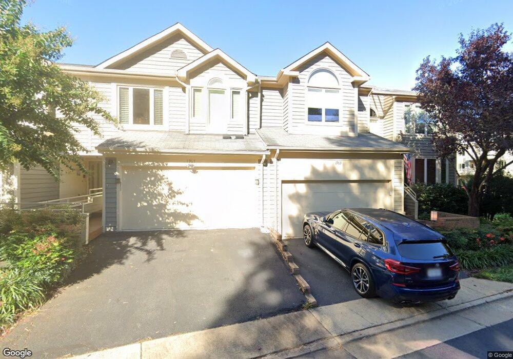
1963 Lakeport Way Reston, VA 20191
Estimated Value: $1,119,000 - $1,226,000
4
Beds
4
Baths
2,484
Sq Ft
$480/Sq Ft
Est. Value
About This Home
This home is located at 1963 Lakeport Way, Reston, VA 20191 and is currently estimated at $1,191,402, approximately $479 per square foot. 1963 Lakeport Way is a home located in Fairfax County with nearby schools including Sunrise Valley Elementary, South Lakes High School, and Sunset Hills Montessori School.
Ownership History
Date
Name
Owned For
Owner Type
Purchase Details
Closed on
Jun 7, 2022
Sold by
Andy Delaine Jr Clarence
Bought by
Clarence Andy Delaine Jr Revocable Trust and Valerie Kay Delaine Revocable Trust
Current Estimated Value
Purchase Details
Closed on
Oct 2, 1996
Sold by
Duchesne John W
Bought by
Delaine Clarence A
Home Financials for this Owner
Home Financials are based on the most recent Mortgage that was taken out on this home.
Original Mortgage
$364,500
Interest Rate
7.9%
Create a Home Valuation Report for This Property
The Home Valuation Report is an in-depth analysis detailing your home's value as well as a comparison with similar homes in the area
Home Values in the Area
Average Home Value in this Area
Purchase History
| Date | Buyer | Sale Price | Title Company |
|---|---|---|---|
| Clarence Andy Delaine Jr Revocable Trust | -- | None Listed On Document | |
| Delaine Clarence A | $397,699 | -- |
Source: Public Records
Mortgage History
| Date | Status | Borrower | Loan Amount |
|---|---|---|---|
| Previous Owner | Delaine Clarence A | $364,500 |
Source: Public Records
Tax History Compared to Growth
Tax History
| Year | Tax Paid | Tax Assessment Tax Assessment Total Assessment is a certain percentage of the fair market value that is determined by local assessors to be the total taxable value of land and additions on the property. | Land | Improvement |
|---|---|---|---|---|
| 2025 | $12,355 | $1,118,570 | $419,000 | $699,570 |
| 2024 | $12,355 | $1,024,890 | $400,000 | $624,890 |
| 2023 | $11,514 | $979,470 | $380,000 | $599,470 |
| 2022 | $11,440 | $960,960 | $371,000 | $589,960 |
| 2021 | $11,560 | $947,130 | $371,000 | $576,130 |
| 2020 | $10,658 | $866,140 | $322,000 | $544,140 |
| 2019 | $10,080 | $819,210 | $320,000 | $499,210 |
| 2018 | $9,598 | $834,650 | $320,000 | $514,650 |
| 2017 | $9,569 | $792,140 | $302,000 | $490,140 |
| 2016 | $9,750 | $808,780 | $302,000 | $506,780 |
| 2015 | $9,234 | $794,020 | $302,000 | $492,020 |
| 2014 | $8,769 | $755,590 | $287,000 | $468,590 |
Source: Public Records
Map
Nearby Homes
- 1933 Lakeport Way
- 11110 Lakespray Way
- 1951 Sagewood Ln Unit 226
- 1951 Sagewood Ln Unit 315
- 2060 Headlands Cir
- 2031 Beacon Place
- 11428 Purple Beech Dr
- 11184 Silentwood Ln
- 11142 Beaver Trail Ct
- 11116 Beaver Trail Ct Unit 11116
- 2037 Wethersfield Ct
- 2180 Whisperwood Glen Ln
- 2029 Wethersfield Ct
- 10900 Sunset Hills Rd
- 1820 Reston Row Plaza Unit 1604
- 2045 Winged Foot Ct
- 2218 Wakerobin Ln
- 2025 Winged Foot Ct
- 2152 Glencourse Ln
- 11200 Chestnut Grove Square Unit 203
- 1965 Lakeport Way
- 1967 Lakeport Way
- 1969 Lakeport Way
- 1959 Lakeport Way
- 1957 Lakeport Way
- 1971 Lakeport Way
- 1955 Lakeport Way
- 1953 Lakeport Way
- 1973 Lakeport Way
- 1951 Lakeport Way
- 1937 Lakeport Way
- 1939 Lakeport Way
- 1975 Lakeport Way
- 1935 Lakeport Way
- 1931 Lakeport Way
- 1929 Lakeport Way
- 1977 Lakeport Way
- 1927 Lakeport Way
- 1925 Lakeport Way
- 1979 Lakeport Way