19677 Mt Wasatch Dr Riverside, CA 92508
Orangecrest NeighborhoodEstimated Value: $681,732 - $760,000
4
Beds
2
Baths
2,145
Sq Ft
$337/Sq Ft
Est. Value
About This Home
This home is located at 19677 Mt Wasatch Dr, Riverside, CA 92508 and is currently estimated at $723,183, approximately $337 per square foot. 19677 Mt Wasatch Dr is a home located in Riverside County with nearby schools including Benjamin Franklin Elementary School, Amelia Earhart Middle School, and Martin Luther King Junior High School.
Ownership History
Date
Name
Owned For
Owner Type
Purchase Details
Closed on
Jun 6, 2018
Sold by
Perez Telma
Bought by
Alvarado Emesto Perez
Current Estimated Value
Purchase Details
Closed on
Aug 20, 2002
Sold by
Woodside Autumn Ridge Inc
Bought by
Perez Ernesto and Perez Telma
Home Financials for this Owner
Home Financials are based on the most recent Mortgage that was taken out on this home.
Original Mortgage
$188,400
Interest Rate
6.43%
Create a Home Valuation Report for This Property
The Home Valuation Report is an in-depth analysis detailing your home's value as well as a comparison with similar homes in the area
Home Values in the Area
Average Home Value in this Area
Purchase History
| Date | Buyer | Sale Price | Title Company |
|---|---|---|---|
| Alvarado Emesto Perez | -- | None Available | |
| Perez Ernesto | $236,000 | First American Title Co |
Source: Public Records
Mortgage History
| Date | Status | Borrower | Loan Amount |
|---|---|---|---|
| Previous Owner | Perez Ernesto | $188,400 |
Source: Public Records
Tax History
| Year | Tax Paid | Tax Assessment Tax Assessment Total Assessment is a certain percentage of the fair market value that is determined by local assessors to be the total taxable value of land and additions on the property. | Land | Improvement |
|---|---|---|---|---|
| 2025 | $3,647 | $341,774 | $86,885 | $254,889 |
| 2023 | $3,647 | $328,505 | $83,512 | $244,993 |
| 2022 | $3,561 | $322,065 | $81,875 | $240,190 |
| 2021 | $3,517 | $315,751 | $80,270 | $235,481 |
| 2020 | $3,490 | $312,514 | $79,447 | $233,067 |
| 2019 | $3,423 | $306,388 | $77,890 | $228,498 |
| 2018 | $3,356 | $300,381 | $76,363 | $224,018 |
| 2017 | $3,295 | $294,492 | $74,866 | $219,626 |
| 2016 | $3,083 | $288,719 | $73,399 | $215,320 |
| 2015 | $3,038 | $284,385 | $72,298 | $212,087 |
| 2014 | $3,066 | $278,817 | $70,883 | $207,934 |
Source: Public Records
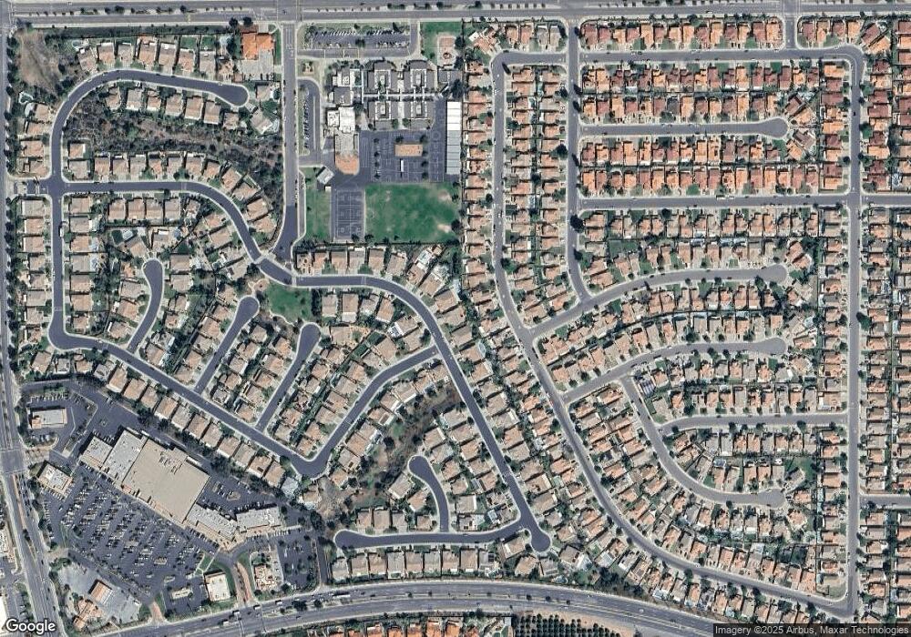
Map
Nearby Homes
- 19629 Capital Peak Ln
- 19911 Westerly Dr
- 0 Apn#267-180-003 Unit CV22145370
- 0 Old Frontage Rd Unit OC25137111
- 19972 Windwood Cir
- 19920 Silvercrest Ln
- 9036 Limecrest Dr
- 19971 Westerly Dr
- 8634 Cabin Place
- 8470 Lindenhurst St
- 8449 Monique Ct
- 19689 Allenhurst St
- 9131 Santa Barbara Dr
- 8682 Barnwood Ln
- 19202 Bergamont Dr
- 20228 June Ct
- 19435 Fortunello Ave
- 19452 Fortunello Ave
- 19320 Totem Ct
- 20329 Red Poppy Ln
- 19693 Mt Wasatch Dr
- 19661 Mt Wasatch Dr
- 19771 Westerly Dr
- 19765 Westerly Dr
- 19775 Westerly Dr
- 19701 Mt Wasatch Dr
- 19761 Westerly Dr
- 19645 Mt Wasatch Dr
- 19779 Westerly Dr
- 19688 Mt Wasatch Dr
- 19658 Mt Wasatch Dr
- 19783 Westerly Dr
- 19759 Westerly Dr
- 8708 Snowmass Peak Way
- 19709 Mt Wasatch Dr
- 19631 Mt Wasatch Dr
- 19628 Mt Wasatch Dr
- 19787 Westerly Dr
- 19755 Westerly Dr
- 19774 Westerly Dr
Your Personal Tour Guide
Ask me questions while you tour the home.