1968 Vermont Ave Clovis, CA 93619
Estimated Value: $1,281,000 - $1,366,674
4
Beds
4
Baths
4,157
Sq Ft
$318/Sq Ft
Est. Value
About This Home
This home is located at 1968 Vermont Ave, Clovis, CA 93619 and is currently estimated at $1,323,837, approximately $318 per square foot. 1968 Vermont Ave is a home with nearby schools including Dry Creek Elementary School, Alta Sierra Intermediate School, and Buchanan High School.
Ownership History
Date
Name
Owned For
Owner Type
Purchase Details
Closed on
Apr 20, 2016
Sold by
Gvm Development Llc
Bought by
Herr Xai D and Lee Neng
Current Estimated Value
Home Financials for this Owner
Home Financials are based on the most recent Mortgage that was taken out on this home.
Original Mortgage
$707,143
Outstanding Balance
$562,702
Interest Rate
3.73%
Mortgage Type
New Conventional
Estimated Equity
$761,135
Create a Home Valuation Report for This Property
The Home Valuation Report is an in-depth analysis detailing your home's value as well as a comparison with similar homes in the area
Home Values in the Area
Average Home Value in this Area
Purchase History
| Date | Buyer | Sale Price | Title Company |
|---|---|---|---|
| Herr Xai D | $884,000 | Old Republic Title Company |
Source: Public Records
Mortgage History
| Date | Status | Borrower | Loan Amount |
|---|---|---|---|
| Open | Herr Xai D | $707,143 |
Source: Public Records
Tax History
| Year | Tax Paid | Tax Assessment Tax Assessment Total Assessment is a certain percentage of the fair market value that is determined by local assessors to be the total taxable value of land and additions on the property. | Land | Improvement |
|---|---|---|---|---|
| 2025 | $13,722 | $1,119,173 | $295,947 | $823,226 |
| 2023 | $13,187 | $1,075,716 | $284,456 | $791,260 |
| 2022 | $12,996 | $1,054,625 | $278,879 | $775,746 |
| 2021 | $12,611 | $1,033,947 | $273,411 | $760,536 |
| 2020 | $12,550 | $1,023,346 | $270,608 | $752,738 |
| 2019 | $12,300 | $1,003,281 | $265,302 | $737,979 |
| 2018 | $12,025 | $983,609 | $260,100 | $723,509 |
| 2017 | $11,083 | $901,578 | $255,000 | $646,578 |
| 2016 | $3,675 | $279,895 | $105,895 | $174,000 |
| 2015 | $1,395 | $104,305 | $104,305 | $0 |
| 2014 | $809 | $61,820 | $61,820 | $0 |
Source: Public Records
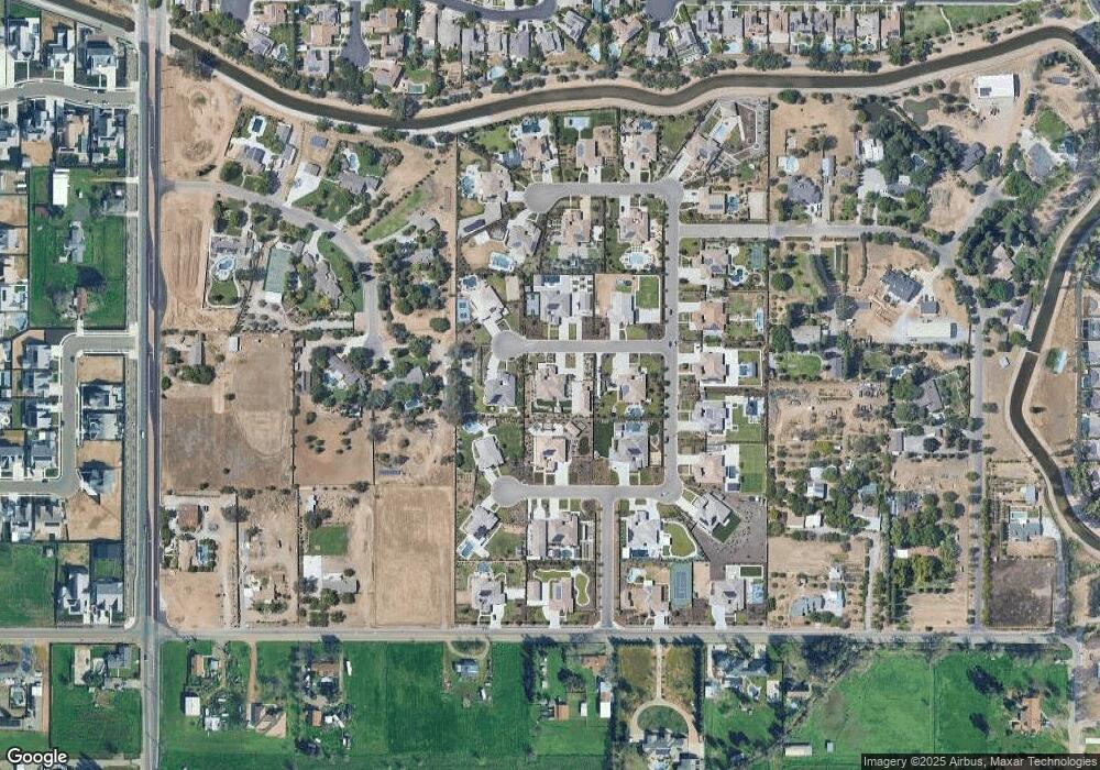
Map
Nearby Homes
- 8220 N Fowler Ave
- 2319 Prescott Ave
- 5211 E Shepherd Ave
- 9226 N Fowler Ave
- 2023 N Wagon Ln
- 2029 N Wagon Ln
- 2035 N Wagon Ln
- 2041 N Wagon Ln
- 2047 N Wagon Ln
- 1684 Heirloom Ave
- 2053 N Wagon Ln
- 2059 N Wagon Ln
- 2065 N Wagon Ln
- 2071 N Wagon Ln
- 1507 Redbrick Ln
- 2077 N Wagon Ln
- 1504 Vintage Ln
- 1544 Redbrick Ln
- 1498 Vintage Ln
- 1685 Heirloom Ave
- 1961 Trenton Ave
- 1988 Vermont Ave
- 1928 Vermont Ave
- 1969 Vermont Ave
- 1991 Trenton Ave
- 1911 Trenton Ave
- 1919 Vermont Ave
- 1989 Vermont Ave
- 1946 Powers Ave
- 1926 Powers Ave
- 1980 Trenton Ave
- 5636 E Cole Ave
- 1966 Powers Ave
- 1930 Trenton Ave
- 1683 N Burl Ave
- 1663 N Burl Ave
- 2020 Trenton Ave
- 5620 E Teague Ave
- 1713 N Burl Ave
- 5592 E Cole Ave
Your Personal Tour Guide
Ask me questions while you tour the home.