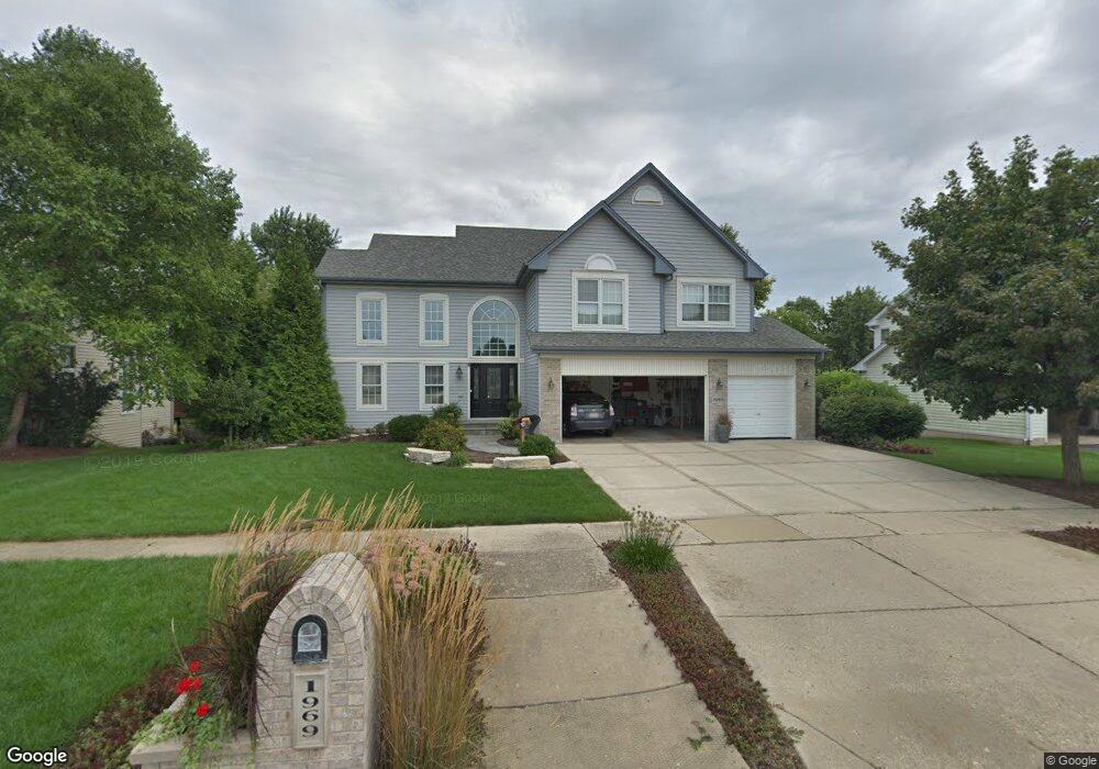
1969 Cheshire Dr Hoffman Estates, IL 60192
West Hoffman Estates NeighborhoodEstimated Value: $595,000 - $665,000
4
Beds
3
Baths
2,305
Sq Ft
$272/Sq Ft
Est. Value
About This Home
This home is located at 1969 Cheshire Dr, Hoffman Estates, IL 60192 and is currently estimated at $626,944, approximately $271 per square foot. 1969 Cheshire Dr is a home located in Cook County with nearby schools including Barbara B. Rose Elementary School, Barrington Mdle School- Prairie Cmps, and Barrington High School.
Ownership History
Date
Name
Owned For
Owner Type
Purchase Details
Closed on
May 5, 2016
Sold by
Osika Scott R and Osika Joan C
Bought by
Osika Scott R and Osika Joan C
Current Estimated Value
Purchase Details
Closed on
Dec 29, 1995
Sold by
Deer Crossing Ii Ltd Partnership
Bought by
Osika Scott R and Osika Joan C
Home Financials for this Owner
Home Financials are based on the most recent Mortgage that was taken out on this home.
Original Mortgage
$175,000
Interest Rate
7.37%
Create a Home Valuation Report for This Property
The Home Valuation Report is an in-depth analysis detailing your home's value as well as a comparison with similar homes in the area
Home Values in the Area
Average Home Value in this Area
Purchase History
| Date | Buyer | Sale Price | Title Company |
|---|---|---|---|
| Osika Scott R | -- | None Available | |
| Osika Scott R | $427,500 | 1St American Title |
Source: Public Records
Mortgage History
| Date | Status | Borrower | Loan Amount |
|---|---|---|---|
| Previous Owner | Osika Scott R | $175,000 |
Source: Public Records
Tax History Compared to Growth
Tax History
| Year | Tax Paid | Tax Assessment Tax Assessment Total Assessment is a certain percentage of the fair market value that is determined by local assessors to be the total taxable value of land and additions on the property. | Land | Improvement |
|---|---|---|---|---|
| 2024 | $10,352 | $43,573 | $6,578 | $36,995 |
| 2023 | $10,018 | $46,455 | $6,578 | $39,877 |
| 2022 | $10,018 | $46,455 | $6,578 | $39,877 |
| 2021 | $7,044 | $30,759 | $6,072 | $24,687 |
| 2020 | $8,203 | $32,778 | $6,072 | $26,706 |
| 2019 | $8,047 | $36,421 | $6,072 | $30,349 |
| 2018 | $6,517 | $28,778 | $5,313 | $23,465 |
| 2017 | $6,963 | $31,544 | $5,313 | $26,231 |
| 2016 | $6,744 | $31,544 | $5,313 | $26,231 |
| 2015 | $6,976 | $30,623 | $4,807 | $25,816 |
| 2014 | $7,501 | $33,020 | $4,807 | $28,213 |
| 2013 | $7,145 | $33,020 | $4,807 | $28,213 |
Source: Public Records
Map
Nearby Homes
- 5140 Landers Dr
- 5325 Mardjetko Dr
- 5459 Mcdonough Rd Unit 5459
- 1475 Falcon Ln
- 5670 Brentwood Dr Unit 5
- 1285 Mallard Ln
- 5815 Fairview Ln
- 1798 Newberry Ln
- 2221 Edgartown Ln
- 5520 Bear Claw Ct
- 5900 Betty Gloyd Dr
- 1823 Kelberg Ave Unit 144
- 31W184 Wolsfeld Dr
- 6099 Canterbury Ln Unit 302
- 1 Joshua Ct
- 1785 Hilltop Rd
- 12 Enclave
- 12N100 Berner Dr
- 2 Cutters Run
- 627 Ascot Ln
- 1979 Cheshire Dr
- 1959 Cheshire Dr
- 5200 Morningview Dr
- 1989 Cheshire Dr
- 5190 Morningview Dr
- 1966 Cheshire Dr
- 5230 Morningview Dr
- 1986 Cheshire Dr
- 5180 Morningview Dr
- 1999 Cheshire Dr
- 5195 Morningview Dr
- 1996 Cheshire Dr
- 5225 Morningview Dr
- 5245 Sawhorse Dr
- 5240 Morningview Dr
- 5185 Morningview Dr
- 5230 Sawhorse Dr
- 5170 Morningview Dr
- 2009 Cheshire Dr
- 5225 Birch Bark Dr