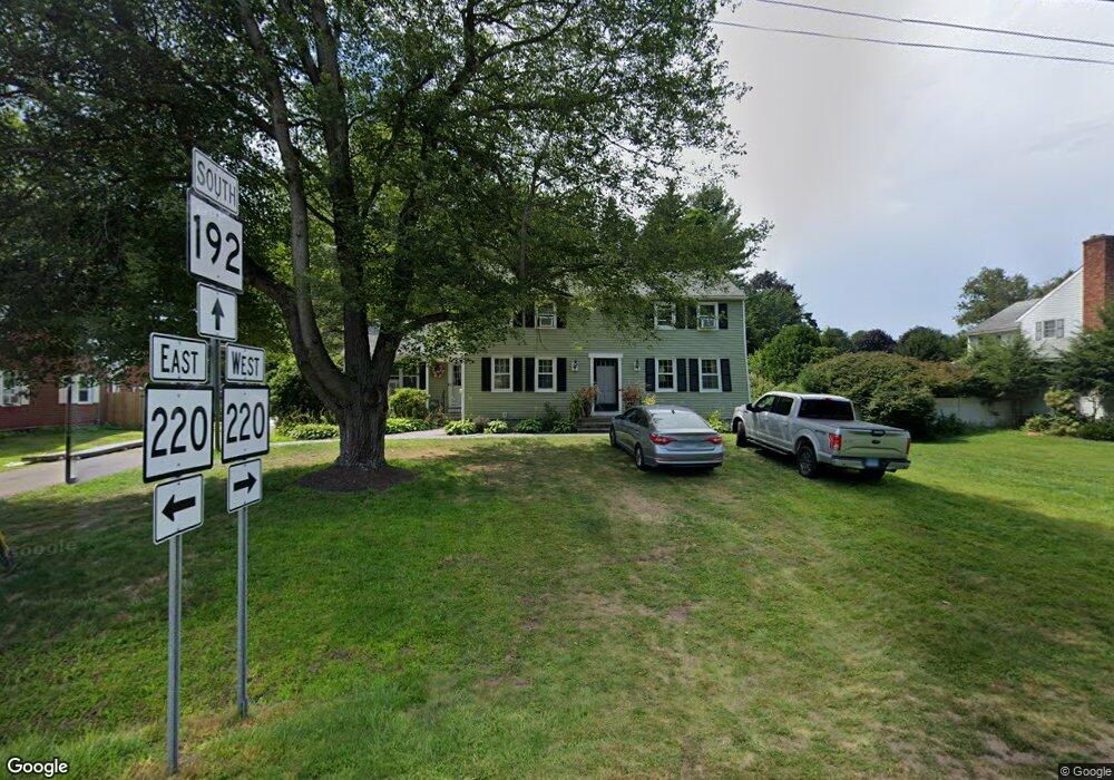
197 N Maple St Enfield, CT 06082
Estimated Value: $372,062 - $424,000
4
Beds
2
Baths
1,944
Sq Ft
$205/Sq Ft
Est. Value
About This Home
This home is located at 197 N Maple St, Enfield, CT 06082 and is currently estimated at $397,766, approximately $204 per square foot. 197 N Maple St is a home located in Hartford County with nearby schools including Prudence Crandall Elementary School, Nathan Hale Elementary School, and Enfield High School.
Ownership History
Date
Name
Owned For
Owner Type
Purchase Details
Closed on
May 10, 2011
Sold by
Andre Fitzgerald
Bought by
Andre Darly
Current Estimated Value
Purchase Details
Closed on
Jun 14, 2005
Sold by
Bush Michael
Bought by
Andre Darly and Andre Fitzgerald
Home Financials for this Owner
Home Financials are based on the most recent Mortgage that was taken out on this home.
Original Mortgage
$259,350
Interest Rate
8.45%
Purchase Details
Closed on
Aug 30, 2001
Sold by
Langhorne Eugene
Bought by
Sousa Steven
Home Financials for this Owner
Home Financials are based on the most recent Mortgage that was taken out on this home.
Original Mortgage
$156,750
Interest Rate
7.06%
Create a Home Valuation Report for This Property
The Home Valuation Report is an in-depth analysis detailing your home's value as well as a comparison with similar homes in the area
Home Values in the Area
Average Home Value in this Area
Purchase History
| Date | Buyer | Sale Price | Title Company |
|---|---|---|---|
| Andre Darly | -- | -- | |
| Andre Darly | $273,000 | -- | |
| Sousa Steven | $165,000 | -- |
Source: Public Records
Mortgage History
| Date | Status | Borrower | Loan Amount |
|---|---|---|---|
| Previous Owner | Sousa Steven | $259,350 | |
| Previous Owner | Sousa Steven | $900,000 | |
| Previous Owner | Sousa Steven | $156,750 | |
| Previous Owner | Sousa Steven | $42,707 |
Source: Public Records
Tax History
| Year | Tax Paid | Tax Assessment Tax Assessment Total Assessment is a certain percentage of the fair market value that is determined by local assessors to be the total taxable value of land and additions on the property. | Land | Improvement |
|---|---|---|---|---|
| 2025 | $6,695 | $188,600 | $61,500 | $127,100 |
| 2024 | $6,473 | $187,300 | $61,500 | $125,800 |
| 2023 | $6,436 | $187,300 | $61,500 | $125,800 |
| 2022 | $5,926 | $187,300 | $61,500 | $125,800 |
| 2021 | $5,819 | $150,630 | $55,100 | $95,530 |
| 2020 | $5,759 | $150,630 | $55,100 | $95,530 |
| 2019 | $5,608 | $150,630 | $55,100 | $95,530 |
| 2018 | $5,483 | $150,630 | $55,100 | $95,530 |
| 2017 | $5,186 | $150,630 | $55,100 | $95,530 |
| 2016 | $4,919 | $148,330 | $55,100 | $93,230 |
| 2015 | $4,775 | $148,330 | $55,100 | $93,230 |
| 2014 | $4,662 | $148,330 | $55,100 | $93,230 |
Source: Public Records
Map
Nearby Homes
- 137 the Laurels Unit 137
- 176 Cottage Rd
- 39 Liberty Ln
- 54 Liberty Ln
- 60 Liberty Ln
- 42 Liberty Ln
- 50 Liberty Ln
- 59 Liberty Ln
- 44 Liberty Ln
- 56 Liberty Ln
- 46 Liberty Ln
- 43 Liberty Ln
- 41 Liberty Ln
- 10 Hamilton Ct
- 14 W Forrest Dr
- 11 Partridge Run
- 4 Georgetown Unit F
- 4 Fair St
- 449 The Meadows
- 31 Sharren Ln
Your Personal Tour Guide
Ask me questions while you tour the home.