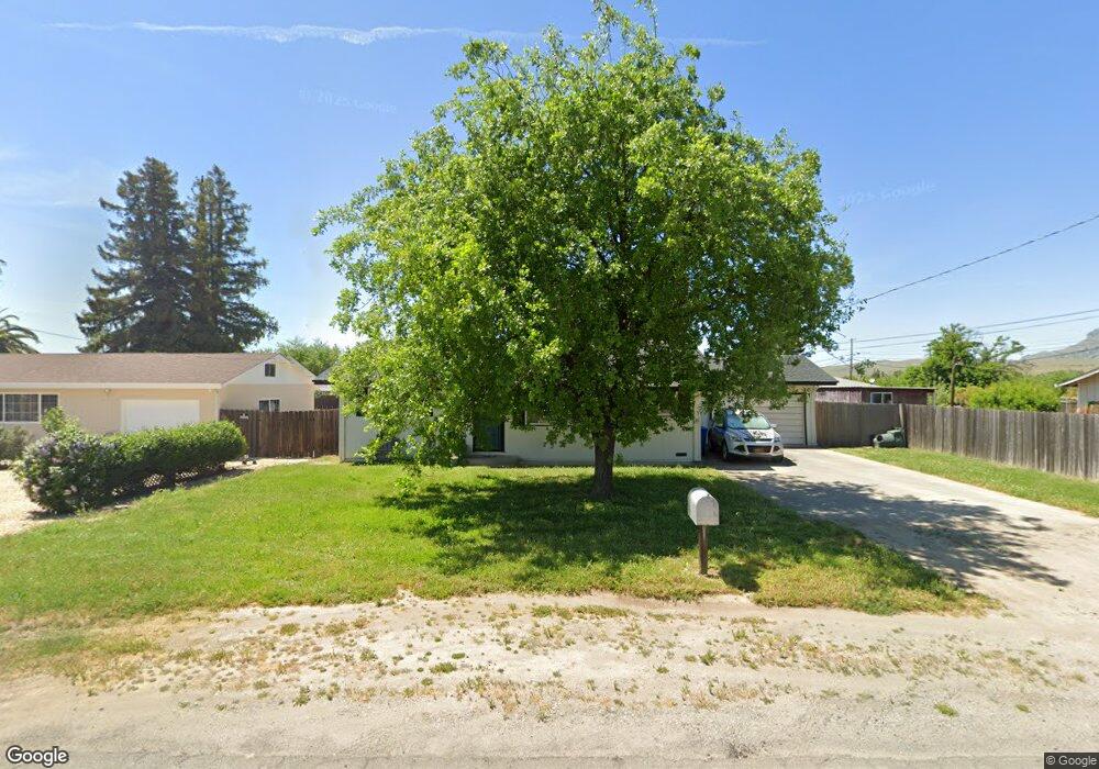
1970 2nd Ave Sutter, CA 95982
Estimated Value: $290,000 - $380,000
About This Home
This home is located at 1970 2nd Ave, Sutter, CA 95982 and is currently estimated at $348,981, approximately $311 per square foot. 1970 2nd Ave is a home located in Sutter County with nearby schools including Brittan Elementary School and Sutter High School.
Ownership History
We collect this data history from publicly available records. To have your information removed, we recommend requesting removal directly through your county’s website.
Purchase Details
Home Financials for this Owner
Home Financials are based on the most recent Mortgage that was taken out on this home.Purchase Details
Purchase Details
Home Values in the Area
Average Home Value in this Area
Purchase History
We collect this data history from publicly available records. To have your information removed, we recommend requesting removal directly through your county’s website.
| Date | Buyer | Sale Price | Title Company |
|---|---|---|---|
| $195,000 | First American Title Company | ||
| -- | None Available | ||
| -- | -- |
Mortgage History
We collect this data history from publicly available records. To have your information removed, we recommend requesting removal directly through your county’s website.
| Date | Status | Borrower | Loan Amount |
|---|---|---|---|
| Open | $110,000 |
Tax History
We collect this data history from publicly available records. To have your information removed, we recommend requesting removal directly through your county’s website.
| Year | Tax Paid | Tax Assessment Tax Assessment Total Assessment is a certain percentage of the fair market value that is determined by local assessors to be the total taxable value of land and additions on the property. | Land | Improvement |
|---|---|---|---|---|
| 2025 | $2,762 | $259,782 | $75,769 | $184,013 |
| 2024 | $2,762 | $254,689 | $74,284 | $180,405 |
| 2023 | $2,762 | $249,696 | $72,828 | $176,868 |
| 2022 | $2,679 | $244,800 | $71,400 | $173,400 |
| 2021 | $2,654 | $240,000 | $70,000 | $170,000 |
| 2020 | $487 | $41,924 | $6,726 | $35,198 |
| 2019 | $717 | $41,102 | $6,594 | $34,508 |
| 2018 | $712 | $40,296 | $6,465 | $33,831 |
| 2017 | $687 | $39,506 | $6,338 | $33,168 |
| 2016 | $684 | $38,732 | $6,214 | $32,518 |
| 2015 | $678 | $38,149 | $6,120 | $32,029 |
| 2014 | $671 | $37,402 | $6,000 | $31,402 |
Map
- 0 S Butte Rd
- 1939 1st Ave
- 8042 Marshall St
- 2431 Madrone St
- 2441 Maple St
- 2637 Acacia Ave
- 2266 Mulberry St
- 1244 Acacia Ave
- 2734 Maple St
- 2715 California St
- 8454 Pass Rd
- 5576 S Butte Rd
- 11311 S Butte Rd
- 2065 Howlett Ave
- 4423 Dresser Rd
- 4361 Dresser Rd
- 4030 Markley Rd
- 4472 Franklin Rd
- 3562 Rue Dr
- 3456 Jefferson Ave
Ask me questions while you tour the home.