19704 Lorain Rd Cleveland, OH 44126
Estimated Value: $160,000 - $190,000
3
Beds
2
Baths
1,280
Sq Ft
$139/Sq Ft
Est. Value
About This Home
This home is located at 19704 Lorain Rd, Cleveland, OH 44126 and is currently estimated at $177,656, approximately $138 per square foot. 19704 Lorain Rd is a home located in Cuyahoga County with nearby schools including Gilles-Sweet Elementary School, Lewis F Mayer Middle School, and Fairview High School.
Ownership History
Date
Name
Owned For
Owner Type
Purchase Details
Closed on
Feb 12, 2024
Sold by
Gardner Mary K
Bought by
Hawk Haley
Current Estimated Value
Home Financials for this Owner
Home Financials are based on the most recent Mortgage that was taken out on this home.
Original Mortgage
$121,500
Outstanding Balance
$118,072
Interest Rate
4%
Mortgage Type
New Conventional
Estimated Equity
$59,584
Purchase Details
Closed on
May 26, 1993
Sold by
Gardner Fred G
Bought by
Gardner Fred G
Purchase Details
Closed on
Jan 11, 1980
Sold by
Clingman Roger E
Bought by
Gardner Fred G
Purchase Details
Closed on
Jun 24, 1977
Bought by
Clingman Roger E
Purchase Details
Closed on
Jan 1, 1977
Bought by
Benchmark Inc
Create a Home Valuation Report for This Property
The Home Valuation Report is an in-depth analysis detailing your home's value as well as a comparison with similar homes in the area
Home Values in the Area
Average Home Value in this Area
Purchase History
| Date | Buyer | Sale Price | Title Company |
|---|---|---|---|
| Hawk Haley | $135,000 | None Listed On Document | |
| Gardner Fred G | -- | -- | |
| Gardner Fred G | $59,400 | -- | |
| Clingman Roger E | -- | -- | |
| Benchmark Inc | -- | -- |
Source: Public Records
Mortgage History
| Date | Status | Borrower | Loan Amount |
|---|---|---|---|
| Open | Hawk Haley | $121,500 |
Source: Public Records
Tax History Compared to Growth
Tax History
| Year | Tax Paid | Tax Assessment Tax Assessment Total Assessment is a certain percentage of the fair market value that is determined by local assessors to be the total taxable value of land and additions on the property. | Land | Improvement |
|---|---|---|---|---|
| 2024 | $2,670 | $47,250 | $4,725 | $42,525 |
| 2023 | $2,200 | $35,250 | $3,540 | $31,710 |
| 2022 | $2,178 | $35,245 | $3,535 | $31,710 |
| 2021 | $2,201 | $35,250 | $3,540 | $31,710 |
| 2020 | $1,841 | $27,970 | $2,800 | $25,170 |
| 2019 | $1,646 | $79,900 | $8,000 | $71,900 |
| 2018 | $1,536 | $27,970 | $2,800 | $25,170 |
| 2017 | $1,483 | $24,610 | $2,490 | $22,120 |
| 2016 | $1,474 | $24,610 | $2,490 | $22,120 |
| 2015 | $1,827 | $24,610 | $2,490 | $22,120 |
| 2014 | $1,827 | $28,950 | $2,910 | $26,040 |
Source: Public Records
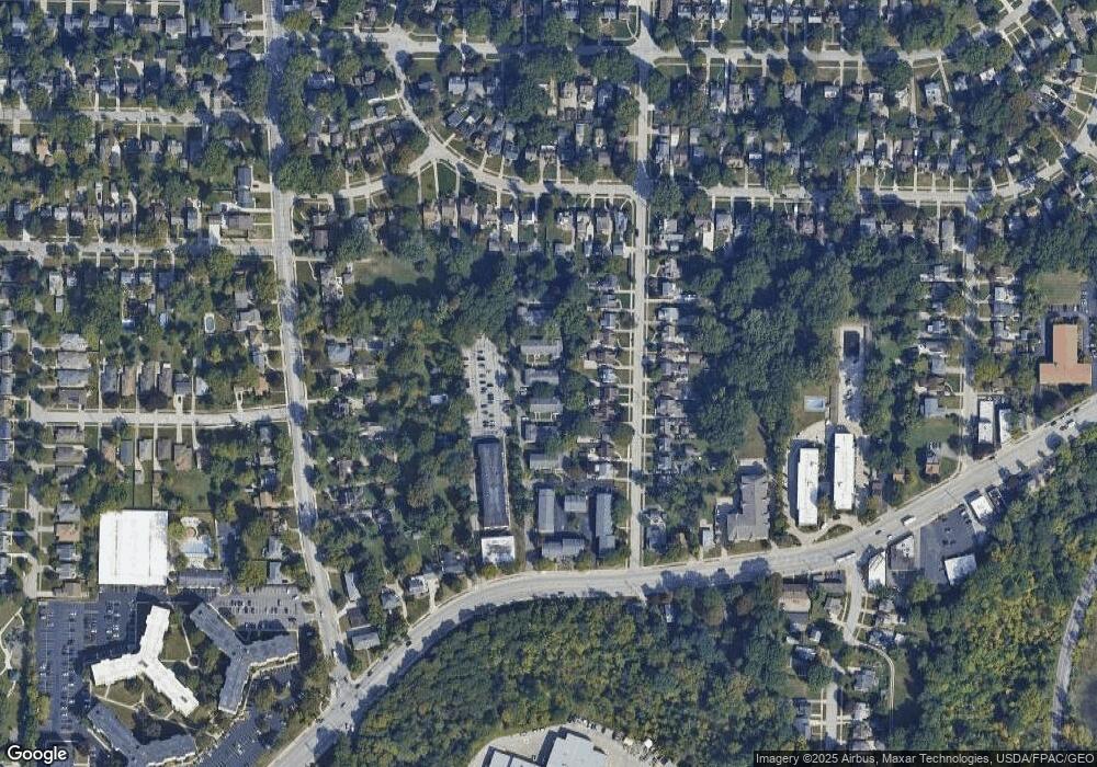
Map
Nearby Homes
- 4336 W 196th St
- 19640 Lorain Rd
- 19510 Lorain Rd Unit 201
- 19270 Lorain Rd
- 19190 S Sagamore Rd
- 19575 Henry Rd
- 20187 Grannis Rd
- 4348 W 202nd St
- 18875 Riversouth Terrace Unit 35
- 18875 Riversouth Terrace Unit 27
- 18875 Riversouth Trace Unit 30
- 3601 Eldorado Dr
- 3457 Wooster Rd
- 20778 Woodstock Ave
- 3400 Wooster Rd Unit 401
- 3400 Wooster Rd Unit 622
- 3400 Wooster Rd Unit 412
- 3400 Wooster Rd Unit 301
- 3394 Wooster Rd
- 4120 W Valley Dr
- 19708 Lorain Rd Unit 45
- 19702 Lorain Rd Unit 42
- 19700 Lorain Rd
- 19704 Lorain Rd Unit 43
- 19692 Lorain Rd
- 19710 Lorain Rd Unit 46
- 19712 Lorain Rd
- 19718 Lorain Rd
- 19716 Lorain Rd
- 19714 Lorain Rd
- 19718 Lorain Rd Unit 50
- 19696 Lorain Rd Unit 40
- 19684 Lorain Rd Unit 35
- 19690 Lorain Rd
- 19694 Lorain Rd
- 19686 Lorain Rd
- 19682 Lorain Rd
- 19690 Lorain Rd Unit 37
- 19686 Lorain Rd Unit 36
- 4262 W 196th St