Estimated Value: $1,263,000 - $1,703,000
About This Home
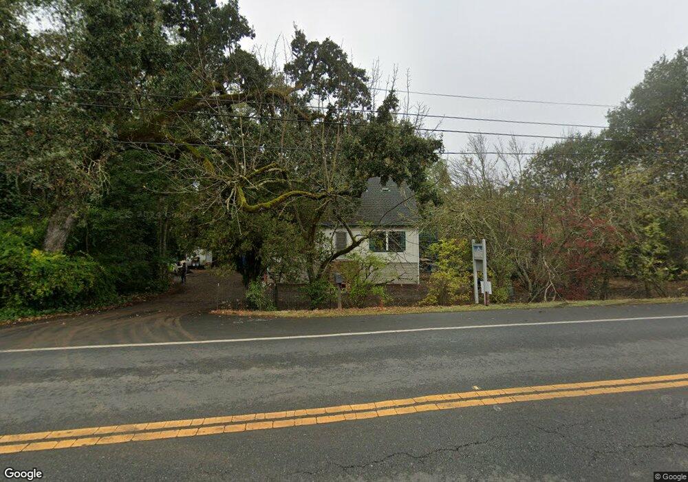
This home is located at 1971 Silverado Trail, Napa, CA 94558 and is currently estimated at $1,414,232, approximately $783 per square foot. 1971 Silverado Trail is a home located in Napa County with nearby schools including Vichy Elementary School, Silverado Middle School, and Vintage High School.
Ownership History
We collect this data history from publicly available records. To have your information removed, we recommend requesting removal directly through your county’s website.
Purchase Details
Home Financials for this Owner
Home Financials are based on the most recent Mortgage that was taken out on this home.Purchase Details
Home Financials for this Owner
Home Financials are based on the most recent Mortgage that was taken out on this home.Purchase Details
Home Financials for this Owner
Home Financials are based on the most recent Mortgage that was taken out on this home.Purchase History
We collect this data history from publicly available records. To have your information removed, we recommend requesting removal directly through your county’s website.
| Date | Buyer | Sale Price | Title Company |
|---|---|---|---|
| -- | Stewart Title Of Sacramento | ||
| -- | -- | ||
| -- | Napa Land Title Company | ||
| -- | Napa Land Title Company |
Mortgage History
We collect this data history from publicly available records. To have your information removed, we recommend requesting removal directly through your county’s website.
| Date | Status | Borrower | Loan Amount |
|---|---|---|---|
| Open | $396,000 | ||
| Closed | $463,500 | ||
| Closed | $150,000 | ||
| Closed | $255,000 | ||
| Closed | $169,500 | ||
| Previous Owner | $130,000 |
Tax History
We collect this data history from publicly available records. To have your information removed, we recommend requesting removal directly through your county’s website.
| Year | Tax Paid | Tax Assessment Tax Assessment Total Assessment is a certain percentage of the fair market value that is determined by local assessors to be the total taxable value of land and additions on the property. | Land | Improvement |
|---|---|---|---|---|
| 2025 | $6,815 | $614,176 | $500,608 | $113,568 |
| 2024 | $6,573 | $602,135 | $490,793 | $111,342 |
| 2023 | $6,573 | $590,329 | $481,170 | $109,159 |
| 2022 | $6,356 | $578,755 | $471,736 | $107,019 |
| 2021 | $6,258 | $567,408 | $462,487 | $104,921 |
| 2020 | $6,207 | $561,591 | $457,745 | $103,846 |
| 2019 | $6,090 | $550,580 | $448,770 | $101,810 |
| 2018 | $6,031 | $539,785 | $439,971 | $99,814 |
| 2017 | $5,933 | $529,202 | $431,345 | $97,857 |
| 2016 | $5,873 | $518,827 | $422,888 | $95,939 |
| 2015 | $5,528 | $511,034 | $416,536 | $94,498 |
| 2014 | $5,449 | $501,024 | $408,377 | $92,647 |
Map
- 1021 Rose Dr
- 3 Rosemont Cir
- 5 Old Coach Rd
- 1884 Silverado Trail
- 6 Old Coach Rd
- 0 Silverado Trail Unit 325079451
- 0 Silverado Trail Unit 326009573
- 2770 Pike Dr
- 2700 Pike Dr
- 1184 Jerome Way
- 2423 Shoreline Dr
- 50 Oakcrest Ct
- 1180 Monticello Rd
- 1797 Silverado Trail Unit 1
- 305 Ashlar Dr
- 2231 1st Ave
- 2648 Michelle Ct
- 2646 Michelle Ct
- 750 William Ct
- 786 William Ct
- 1953 Silverado Trail
- 1968 Silverado Trail
- 2000 Silverado Trail
- 1972 Silverado Trail
- 1952 Silverado Trail
- 1954 Silverado Trail
- 2006 Silverado Trail
- 1010 Rose Dr
- 1020 Rose Dr
- 1027 Rose Dr
- 1026 Rose Dr
- 1944 Silverado Trail
- 1033 Rose Dr
- 1030 Rose Dr
- 1945 Silverado Trail
- 604 Monticello Rd Unit 10
- 11 Rosemont Cir
- 1036 Rose Dr
- 1060 Hagen Rd
- 1043 Rose Dr
Ask me questions while you tour the home.