Estimated Value: $198,970 - $251,000
3
Beds
1
Bath
1,447
Sq Ft
$157/Sq Ft
Est. Value
About This Home
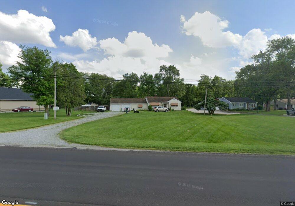
This home is located at 1974 E State Route 55, Troy, OH 45373 and is currently estimated at $226,993, approximately $156 per square foot. 1974 E State Route 55 is a home located in Miami County with nearby schools including Miami East Elementary School, Miami East Junior High School, and Miami East High School.
Ownership History
Date
Name
Owned For
Owner Type
Purchase Details
Closed on
May 7, 2024
Sold by
Ammon Jerry L
Bought by
Geneivra M Scott Revocable Living Trust and Scott
Current Estimated Value
Purchase Details
Closed on
May 9, 2003
Sold by
Russell Michael D and Russell Jackie L
Bought by
Ammon Jerry L and Ammon Tawana E
Purchase Details
Closed on
Feb 13, 2003
Sold by
Russell Michael D
Bought by
Russell Michael D and Russell Jackie L
Purchase Details
Closed on
Feb 3, 2003
Sold by
Estate Of Delores M Russell
Bought by
Russell Michael D and Mccoy Cynthia
Purchase Details
Closed on
Nov 1, 1983
Bought by
Russell Delores M
Create a Home Valuation Report for This Property
The Home Valuation Report is an in-depth analysis detailing your home's value as well as a comparison with similar homes in the area
Purchase History
| Date | Buyer | Sale Price | Title Company |
|---|---|---|---|
| Geneivra M Scott Revocable Living Trust | $2,800 | None Listed On Document | |
| Ammon Jerry L | $99,300 | -- | |
| Russell Michael D | -- | -- | |
| Russell Michael D | -- | -- | |
| Russell Delores M | -- | -- |
Source: Public Records
Tax History
| Year | Tax Paid | Tax Assessment Tax Assessment Total Assessment is a certain percentage of the fair market value that is determined by local assessors to be the total taxable value of land and additions on the property. | Land | Improvement |
|---|---|---|---|---|
| 2024 | $2,006 | $44,670 | $11,660 | $33,010 |
| 2023 | $1,537 | $45,160 | $12,150 | $33,010 |
| 2022 | $1,595 | $45,160 | $12,150 | $33,010 |
| 2021 | $1,314 | $34,730 | $9,350 | $25,380 |
| 2020 | $1,321 | $34,730 | $9,350 | $25,380 |
| 2019 | $1,342 | $34,730 | $9,350 | $25,380 |
| 2018 | $1,329 | $33,680 | $7,110 | $26,570 |
| 2017 | $1,316 | $33,680 | $7,110 | $26,570 |
| 2016 | $1,238 | $33,680 | $7,110 | $26,570 |
| 2015 | $1,261 | $32,380 | $6,830 | $25,550 |
| 2014 | $1,261 | $32,380 | $6,830 | $25,550 |
| 2013 | $1,267 | $32,380 | $6,830 | $25,550 |
Source: Public Records
Map
Nearby Homes
- 1597 Old Staunton Rd
- 1063 Linwood Dr
- 491 Mayfield Square E
- 1206 Heritage Dr
- 1057 Stonyridge Ave
- 1008 Plymouth Ct
- 1257 Gettysburg Dr
- 1142 Lee Rd
- 1728 Hunters Ridge Dr
- 1329 Lee Rd
- 1117 Scenic Ct
- 1334 Skylark Dr
- 1075 Crestview Dr
- 1424 Michael Dr
- 1400 Troy Urbana Rd
- 1210 Charleston Ct
- 555 Miami St
- 506 Michigan Ave
- 607 W Bentley Cir
- 708 N Market St
- 1960 E Staunton Rd
- 1996 E State Route 55
- 1948 E Staunton Rd
- 1948 Old Staunton Rd
- 2008 Ohio 55
- 1936 E Staunton Rd
- 2008 E State Route 55
- 1928 E Staunton Rd
- 1928 Old Staunton Rd
- 1879 Old Staunton Rd
- 1890 E Staunton Rd
- 2030 E State Route 55
- 2050 E State Route 55
- 2066 E State Route 55
- 1995 Woodcliffe Dr
- 2021 Woodcliffe Dr
- 1989 Woodcliffe Dr
- 1870 Old Staunton Rd
- 2086 E State Route 55
- 1855 E Staunton Rd
Your Personal Tour Guide
Ask me questions while you tour the home.