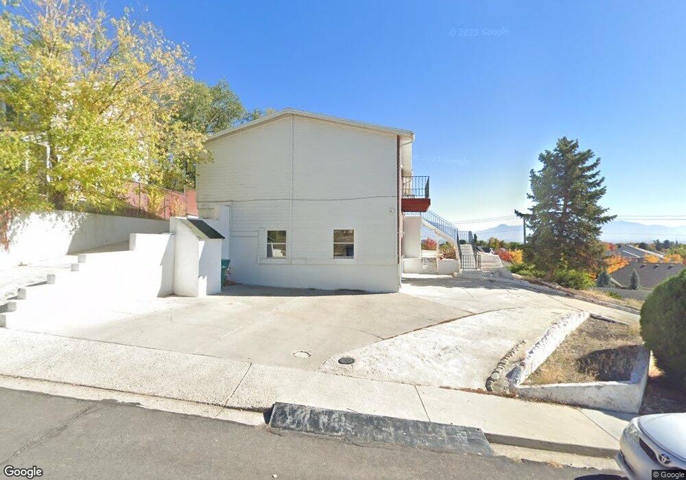
1977 S 520 E Orem, UT 84058
Cherry Hill NeighborhoodEstimated Value: $558,010 - $619,000
4
Beds
4
Baths
2,523
Sq Ft
$234/Sq Ft
Est. Value
About This Home
This home is located at 1977 S 520 E, Orem, UT 84058 and is currently estimated at $589,337, approximately $233 per square foot. 1977 S 520 E is a home located in Utah County with nearby schools including Cherry Hill Elementary School, Lakeridge Jr High School, and Mountain View High School.
Ownership History
Date
Name
Owned For
Owner Type
Purchase Details
Closed on
Sep 17, 2021
Sold by
Losee Zyler Ray Dan Nelson
Bought by
Christensen Tanner
Current Estimated Value
Purchase Details
Closed on
May 22, 2017
Sold by
Marshall Davy John and Marshall Bowick Eldiva Pearl
Bought by
Dean Nelson Losee Zyler Ray
Home Financials for this Owner
Home Financials are based on the most recent Mortgage that was taken out on this home.
Original Mortgage
$295,000
Interest Rate
4.1%
Mortgage Type
VA
Purchase Details
Closed on
Jan 25, 2012
Sold by
Marshall Ruth Noakes
Bought by
Marshall James I and Marshall Davy John
Purchase Details
Closed on
Apr 30, 2010
Sold by
Marshall James I
Bought by
Marshall James I and Marshall Davy John
Create a Home Valuation Report for This Property
The Home Valuation Report is an in-depth analysis detailing your home's value as well as a comparison with similar homes in the area
Home Values in the Area
Average Home Value in this Area
Purchase History
| Date | Buyer | Sale Price | Title Company |
|---|---|---|---|
| Christensen Tanner | -- | Vanguard Title Ins Agcy | |
| Dean Nelson Losee Zyler Ray | -- | Old Republic Title | |
| Marshall James I | -- | None Available | |
| Marshall James I | -- | None Available |
Source: Public Records
Mortgage History
| Date | Status | Borrower | Loan Amount |
|---|---|---|---|
| Previous Owner | Dean Nelson Losee Zyler Ray | $295,000 |
Source: Public Records
Tax History
| Year | Tax Paid | Tax Assessment Tax Assessment Total Assessment is a certain percentage of the fair market value that is determined by local assessors to be the total taxable value of land and additions on the property. | Land | Improvement |
|---|---|---|---|---|
| 2025 | $2,361 | $328,130 | -- | -- |
| 2024 | $2,361 | $288,750 | $0 | $0 |
| 2023 | $2,145 | $281,930 | $0 | $0 |
| 2022 | $2,099 | $267,245 | $0 | $0 |
| 2021 | $1,905 | $367,300 | $143,900 | $223,400 |
| 2020 | $1,752 | $332,000 | $115,100 | $216,900 |
| 2019 | $1,586 | $312,500 | $99,700 | $212,800 |
| 2018 | $1,493 | $281,200 | $95,900 | $185,300 |
| 2017 | $1,396 | $140,800 | $0 | $0 |
| 2016 | $1,432 | $133,210 | $0 | $0 |
| 2015 | $1,412 | $124,245 | $0 | $0 |
| 2014 | $1,277 | $111,815 | $0 | $0 |
Source: Public Records
Map
Nearby Homes
- 557 E 2000 St S
- 559 E 2000 S
- 1958 S 520 E
- 505 E 2000 S
- 505 E 2000 S Unit 16
- 1366 W 1980 N
- 1352 W 1980 N
- 501 E 2000 S
- 501 E 2000 S Unit 15
- 1949 S 520 E
- 497 E 2000 S
- 497 E 2000 S Unit 14
- 1378 W 1980 N
- 1942 S 520 St E
- 1334 W 1980 N
- 492 E 1960 S
- 493 E 2000 S Unit 13
- 1940 S 520 E
- 489 E 2000 S
- 489 E 2000 S Unit 12
Your Personal Tour Guide
Ask me questions while you tour the home.