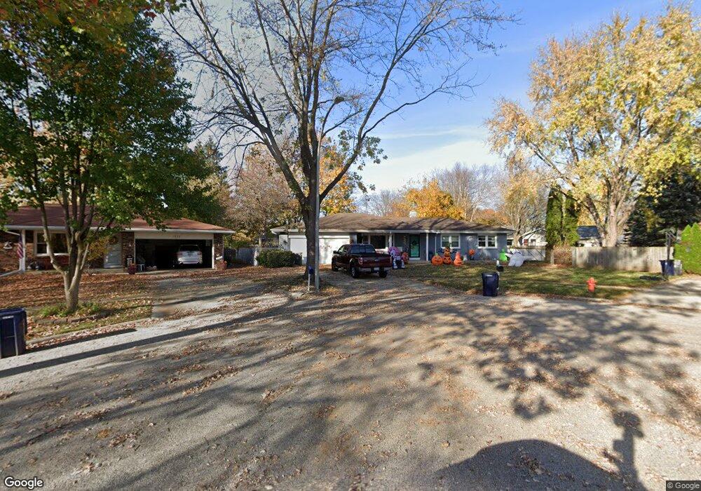
1978 N Fork Cir Unit 1 Elgin, IL 60123
Far West Elgin NeighborhoodEstimated Value: $337,000 - $380,000
5
Beds
3
Baths
1,404
Sq Ft
$251/Sq Ft
Est. Value
About This Home
This home is located at 1978 N Fork Cir Unit 1, Elgin, IL 60123 and is currently estimated at $352,820, approximately $251 per square foot. 1978 N Fork Cir Unit 1 is a home located in Kane County with nearby schools including Creekside Elementary School, Kimball Middle School, and Larkin High School.
Ownership History
Date
Name
Owned For
Owner Type
Purchase Details
Closed on
Jul 19, 2011
Sold by
Kasper Nancy L and Kasper Rick W
Bought by
Funk Michael and Funk Karen M
Current Estimated Value
Home Financials for this Owner
Home Financials are based on the most recent Mortgage that was taken out on this home.
Original Mortgage
$75,000
Outstanding Balance
$51,622
Interest Rate
4.52%
Mortgage Type
New Conventional
Estimated Equity
$301,198
Purchase Details
Closed on
Jun 11, 1997
Sold by
Parsons K Don and Parsons Diana S
Bought by
Coomes Bryan J and Coomes Delores E
Create a Home Valuation Report for This Property
The Home Valuation Report is an in-depth analysis detailing your home's value as well as a comparison with similar homes in the area
Home Values in the Area
Average Home Value in this Area
Purchase History
| Date | Buyer | Sale Price | Title Company |
|---|---|---|---|
| Funk Michael | $145,000 | Chicago Title Insurance Co | |
| Coomes Bryan J | $156,000 | -- |
Source: Public Records
Mortgage History
| Date | Status | Borrower | Loan Amount |
|---|---|---|---|
| Open | Funk Michael | $75,000 |
Source: Public Records
Tax History
| Year | Tax Paid | Tax Assessment Tax Assessment Total Assessment is a certain percentage of the fair market value that is determined by local assessors to be the total taxable value of land and additions on the property. | Land | Improvement |
|---|---|---|---|---|
| 2024 | $7,703 | $104,251 | $31,863 | $72,388 |
| 2023 | $7,347 | $94,183 | $28,786 | $65,397 |
| 2022 | $6,926 | $85,879 | $26,248 | $59,631 |
| 2021 | $6,628 | $80,291 | $24,540 | $55,751 |
| 2020 | $6,444 | $76,650 | $23,427 | $53,223 |
| 2019 | $6,259 | $73,014 | $22,316 | $50,698 |
| 2018 | $6,207 | $68,784 | $21,023 | $47,761 |
| 2017 | $6,071 | $65,025 | $19,874 | $45,151 |
| 2016 | $5,737 | $60,326 | $18,438 | $41,888 |
| 2015 | -- | $55,294 | $16,900 | $38,394 |
| 2014 | -- | $54,611 | $16,691 | $37,920 |
| 2013 | -- | $56,051 | $17,131 | $38,920 |
Source: Public Records
Map
Nearby Homes
- 527 N Lyle Ave
- 512 Shenandoah Trail
- 356 N Airlite St Unit 356
- 532 Shenandoah Trail
- 1840 W Highland Ave Unit E-105
- 2022 Torino Dr
- 136 Mckinstry Dr
- Lot 1 Highland Springs Dr
- 640 Highland Springs Dr
- 2205 Country Knoll Ln
- 1419 Harlan Ave
- 92 N Airlite St
- 906 Carol Ave
- 2176 Jordan Ln
- 1865 Kevin Ave Unit 5
- 801 N Mclean Blvd Unit 320
- 801 N Mclean Blvd Unit 324
- 801 N Mclean Blvd Unit 118
- 801 N Mclean Blvd Unit 124
- 801 N Mclean Blvd Unit 222
- 1980 N Fork Cir Unit 1
- 540 N Lyle Ave
- 536 N Lyle Ave
- 544 N Lyle Ave
- 1976 N Fork Cir
- 1982 N Fork Cir Unit 1
- 532 N Lyle Ave
- 545 N Airlite St
- 541 N Airlite St
- 1974 N Fork Cir
- 548 N Lyle Ave
- 535 N Airlite St
- 1986 N Fork Cir
- 528 N Lyle Ave
- 525 N Airlite St
- 1970 N Fork Cir
- 1960 Powder River Path Unit 1
- 539 N Lyle Ave
- 524 N Lyle Ave
- 535 N Lyle Ave
Your Personal Tour Guide
Ask me questions while you tour the home.