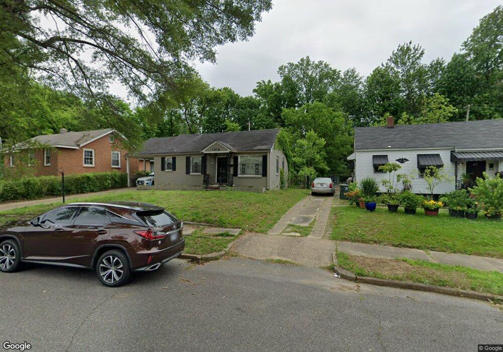
1979 Cloverdale Dr Memphis, TN 38114
Southeast Memphis NeighborhoodEstimated Value: $86,420 - $145,000
3
Beds
1
Bath
1,398
Sq Ft
$78/Sq Ft
Est. Value
About This Home
This home is located at 1979 Cloverdale Dr, Memphis, TN 38114 and is currently estimated at $109,105, approximately $78 per square foot. 1979 Cloverdale Dr is a home located in Shelby County with nearby schools including Hamilton High School, Hanley School - Elementary, and Hanley Schoool - Middle.
Ownership History
Date
Name
Owned For
Owner Type
Purchase Details
Closed on
Mar 21, 2022
Sold by
Moss Capital Llc
Bought by
Mdm Investments Of Memphis Llc
Current Estimated Value
Purchase Details
Closed on
Feb 16, 2022
Sold by
South City Memphis Llc
Bought by
Moss Capital Llc
Purchase Details
Closed on
Aug 16, 2021
Sold by
Newbern Derwin Quinton
Bought by
Mdm Investments Of Memphis Llc
Purchase Details
Closed on
Nov 6, 2020
Sold by
Mcdonald Wollette Seleria
Bought by
Newborn Derwin Quintin
Create a Home Valuation Report for This Property
The Home Valuation Report is an in-depth analysis detailing your home's value as well as a comparison with similar homes in the area
Home Values in the Area
Average Home Value in this Area
Purchase History
| Date | Buyer | Sale Price | Title Company |
|---|---|---|---|
| Mdm Investments Of Memphis Llc | -- | None Listed On Document | |
| Moss Capital Llc | -- | None Listed On Document | |
| Mdm Investments Of Memphis Llc | -- | None Available | |
| Newborn Derwin Quintin | -- | None Available |
Source: Public Records
Tax History
| Year | Tax Paid | Tax Assessment Tax Assessment Total Assessment is a certain percentage of the fair market value that is determined by local assessors to be the total taxable value of land and additions on the property. | Land | Improvement |
|---|---|---|---|---|
| 2025 | $386 | $17,875 | $2,875 | $15,000 |
| 2024 | $386 | $11,400 | $1,250 | $10,150 |
| 2023 | $694 | $11,400 | $1,250 | $10,150 |
| 2022 | $694 | $11,400 | $1,250 | $10,150 |
| 2021 | $825 | $11,400 | $1,250 | $10,150 |
| 2020 | $752 | $10,375 | $1,250 | $9,125 |
| 2019 | $332 | $10,375 | $1,250 | $9,125 |
| 2018 | $332 | $10,375 | $1,250 | $9,125 |
| 2017 | $339 | $10,375 | $1,250 | $9,125 |
| 2016 | $462 | $10,575 | $0 | $0 |
| 2014 | $462 | $10,575 | $0 | $0 |
Source: Public Records
Map
Nearby Homes
- 1965 Cloverdale Dr
- 1975 Cloverdale Dr
- 2014 N Dianne Cir
- 1911 Quinn Ave
- 2006 Quinn Ave
- 1452 Castalia St
- 1419 Worthington St
- 1896 Glory Cir
- 1457 S Cooper St
- 1830 Kerr Ave
- 1816 Kerr Ave
- 0 Dublin Ave Unit LOTS 20 & 21 LAST TW
- 1954 Boyle Ave
- 1891 South Pkwy E
- 0 S Barksdale St
- 1971 Boyle Ave
- 2149 Wabash Ave
- 1481 Oaklawn St
- 1812 Parkway Terrace
- 1936 Frisco Ave
- 1981 Cloverdale Dr
- 1973 Cloverdale Dr
- 1987 Cloverdale Dr
- 1993 Cloverdale Dr
- 1969 Cloverdale Dr
- 1972 Cloverdale Dr
- 1997 Cloverdale Dr
- 1971 Clovia Ln
- 1968 Cloverdale Dr
- 2001 Cloverdale Dr
- 1961 Cloverdale Dr
- 1982 Clovia Ln
- 1964 Cloverdale Dr
- 1963 Clovia Ln
- 1960 Cloverdale Dr
- 2007 Cloverdale Dr
- 1957 Cloverdale Dr
- 1959 Clovia Ln
- 1988 N Dianne Cir
- 1992 N Dianne Cir
Your Personal Tour Guide
Ask me questions while you tour the home.