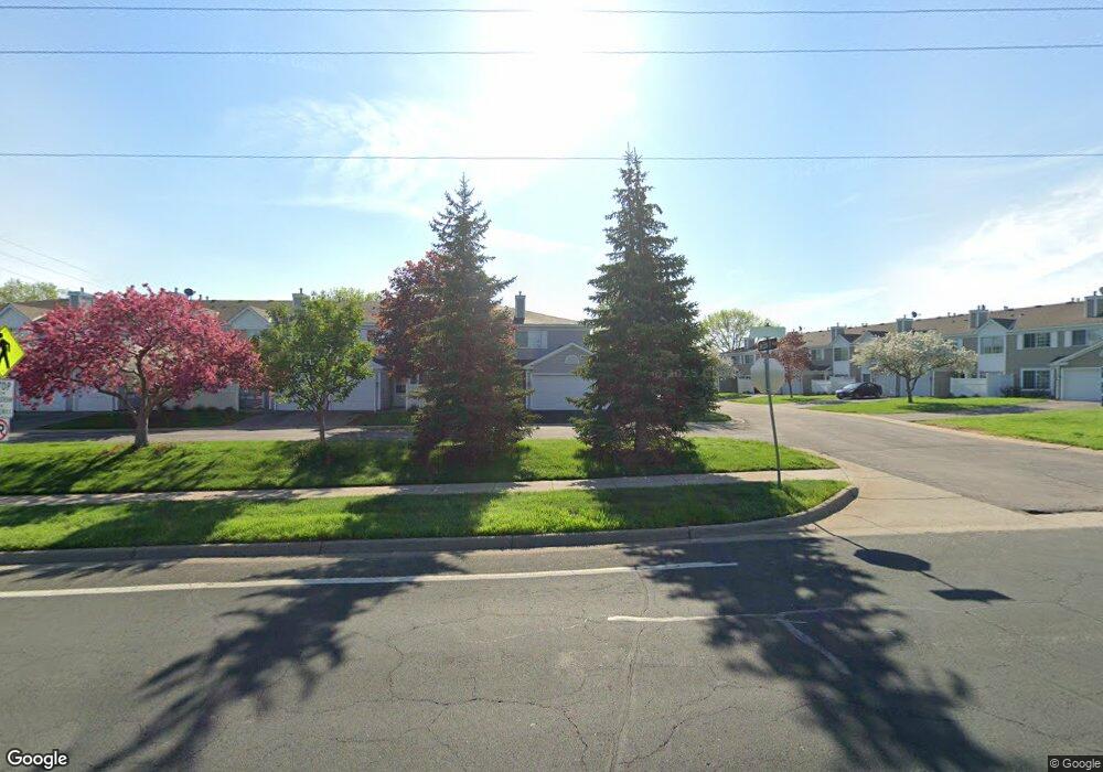
1979 Jan Echo Trail Unit 44 Saint Paul, MN 55122
Estimated Value: $224,738 - $234,000
2
Beds
2
Baths
1,052
Sq Ft
$216/Sq Ft
Est. Value
About This Home
This home is located at 1979 Jan Echo Trail Unit 44, Saint Paul, MN 55122 and is currently estimated at $227,685, approximately $216 per square foot. 1979 Jan Echo Trail Unit 44 is a home located in Dakota County with nearby schools including Oak Ridge Elementary School, Black Hawk Middle School, and Eastview Senior High School.
Ownership History
Date
Name
Owned For
Owner Type
Purchase Details
Closed on
Dec 11, 2020
Sold by
Clardy Rebecca and Clardy Gerrell
Bought by
Clardy Gerrell and Clardy Rebecca
Current Estimated Value
Purchase Details
Closed on
Feb 28, 2003
Sold by
Heininger Rochell L
Bought by
Arlt Rebecca
Purchase Details
Closed on
Mar 18, 1998
Sold by
Adams Rhonda L
Bought by
Heininger Rochell L
Create a Home Valuation Report for This Property
The Home Valuation Report is an in-depth analysis detailing your home's value as well as a comparison with similar homes in the area
Home Values in the Area
Average Home Value in this Area
Purchase History
| Date | Buyer | Sale Price | Title Company |
|---|---|---|---|
| Clardy Gerrell | -- | Executive Title | |
| Arlt Rebecca | $139,900 | -- | |
| Heininger Rochell L | $84,700 | -- |
Source: Public Records
Tax History Compared to Growth
Tax History
| Year | Tax Paid | Tax Assessment Tax Assessment Total Assessment is a certain percentage of the fair market value that is determined by local assessors to be the total taxable value of land and additions on the property. | Land | Improvement |
|---|---|---|---|---|
| 2024 | $2,198 | $203,700 | $40,100 | $163,600 |
| 2023 | $2,198 | $202,400 | $39,800 | $162,600 |
| 2022 | $1,990 | $204,200 | $39,700 | $164,500 |
| 2021 | $1,844 | $176,900 | $34,500 | $142,400 |
| 2020 | $1,806 | $160,000 | $32,900 | $127,100 |
| 2019 | $1,565 | $152,500 | $31,300 | $121,200 |
| 2018 | $1,434 | $139,200 | $29,000 | $110,200 |
| 2017 | $1,425 | $123,300 | $26,300 | $97,000 |
| 2016 | $1,416 | $116,800 | $25,100 | $91,700 |
| 2015 | $1,266 | $115,000 | $24,100 | $90,900 |
| 2014 | -- | $104,600 | $22,600 | $82,000 |
| 2013 | -- | $96,700 | $20,300 | $76,400 |
Source: Public Records
Map
Nearby Homes
- 1942 Grant Alcove Unit 65
- 1917 Jan Echo Trail
- 1866 Bear Path Trail
- 4290 Blackhawk Rd
- 1837 Deer Hills Trail
- 2008 Zircon Ln
- 4241 Blackhawk Rd
- 1924 Sapphire Point Unit 97
- 1902 Sapphire Point Unit 110
- 4130 Rahn Rd Unit B111
- 4130 Rahn Rd Unit 209
- 2079 Garnet Ln
- 4110 Rahn Rd Unit 215
- 4110 Rahn Rd Unit 312
- 4413 Slater Rd
- 4682 Lenore Ln
- 4429 Slater Rd
- 2074 Carnelian Ln
- 2026 Safari Heights Trail
- 4632 Westwood Ln
- 1977 Jan Echo Trail
- 1981 Jan Echo Trail
- 1980 Overland Cir Unit 41
- 1978 Overland Cir Unit 42
- 1982 Overland Cir
- 1983 Jan Echo Trail
- 1984 Overland Cir
- 1985 Jan Echo Trail
- 1985 Jan Echo Trail Unit 47
- 1986 Overland Cir
- 1987 Jan Echo Trail Unit 48
- 1987 Jan Echo Trail
- 1988 Overland Cir Unit 37
- 1988 Overland Cir
- 1998 Jan Echo Trail Unit 18
- 1976 Overland Cir
- 1976 Overland Cir Unit 60
- 1974 Overland Cir Unit 59
- 1972 Overland Cir Unit 58
- 1989 Glen Echo Bay