198 Deer Path Savannah, TN 38372
Estimated Value: $413,000 - $454,000
Studio
4
Baths
1,800
Sq Ft
$241/Sq Ft
Est. Value
About This Home
This home is located at 198 Deer Path, Savannah, TN 38372 and is currently estimated at $434,655, approximately $241 per square foot. 198 Deer Path is a home located in Hardin County with nearby schools including Hardin County High School.
Ownership History
Date
Name
Owned For
Owner Type
Purchase Details
Closed on
Mar 26, 1997
Sold by
Point Harbor Villa Corp
Bought by
Cobb Judy
Current Estimated Value
Purchase Details
Closed on
Jun 3, 1996
Sold by
Gf Partnership
Bought by
Point Harbor Villa Corp
Purchase Details
Closed on
Jun 17, 1994
Bought by
Gf Partnership
Purchase Details
Closed on
Oct 6, 1993
Bought by
Gf Partnership
Purchase Details
Closed on
Apr 26, 1990
Purchase Details
Closed on
Dec 27, 1989
Purchase Details
Closed on
May 11, 1988
Bought by
Blasingame E Benard
Purchase Details
Closed on
Jan 6, 1987
Bought by
Blasingame E Benard
Purchase Details
Closed on
Jun 12, 1969
Bought by
Tenn River Pulp and Tenn Paper
Create a Home Valuation Report for This Property
The Home Valuation Report is an in-depth analysis detailing your home's value as well as a comparison with similar homes in the area
Purchase History
| Date | Buyer | Sale Price | Title Company |
|---|---|---|---|
| Cobb Judy | $182,000 | -- | |
| Point Harbor Villa Corp | $30,000 | -- | |
| Gf Partnership | $257,600 | -- | |
| Gf Partnership | -- | -- | |
| -- | -- | -- | |
| -- | -- | -- | |
| Blasingame E Benard | -- | -- | |
| Blasingame E Benard | -- | -- | |
| Tenn River Pulp | -- | -- |
Source: Public Records
Tax History
| Year | Tax Paid | Tax Assessment Tax Assessment Total Assessment is a certain percentage of the fair market value that is determined by local assessors to be the total taxable value of land and additions on the property. | Land | Improvement |
|---|---|---|---|---|
| 2025 | $1,416 | $80,900 | $20,000 | $60,900 |
| 2024 | $1,416 | $80,900 | $20,000 | $60,900 |
| 2023 | $1,416 | $80,900 | $20,000 | $60,900 |
| 2022 | $1,380 | $66,975 | $18,750 | $48,225 |
| 2021 | $1,380 | $66,975 | $18,750 | $48,225 |
| 2020 | $1,380 | $66,975 | $18,750 | $48,225 |
| 2019 | $1,380 | $66,975 | $18,750 | $48,225 |
| 2018 | $1,334 | $66,975 | $18,750 | $48,225 |
| 2017 | $1,389 | $66,775 | $18,750 | $48,025 |
| 2016 | $1,389 | $66,775 | $18,750 | $48,025 |
| 2015 | $1,215 | $66,775 | $18,750 | $48,025 |
| 2014 | $1,215 | $66,775 | $18,750 | $48,025 |
Source: Public Records
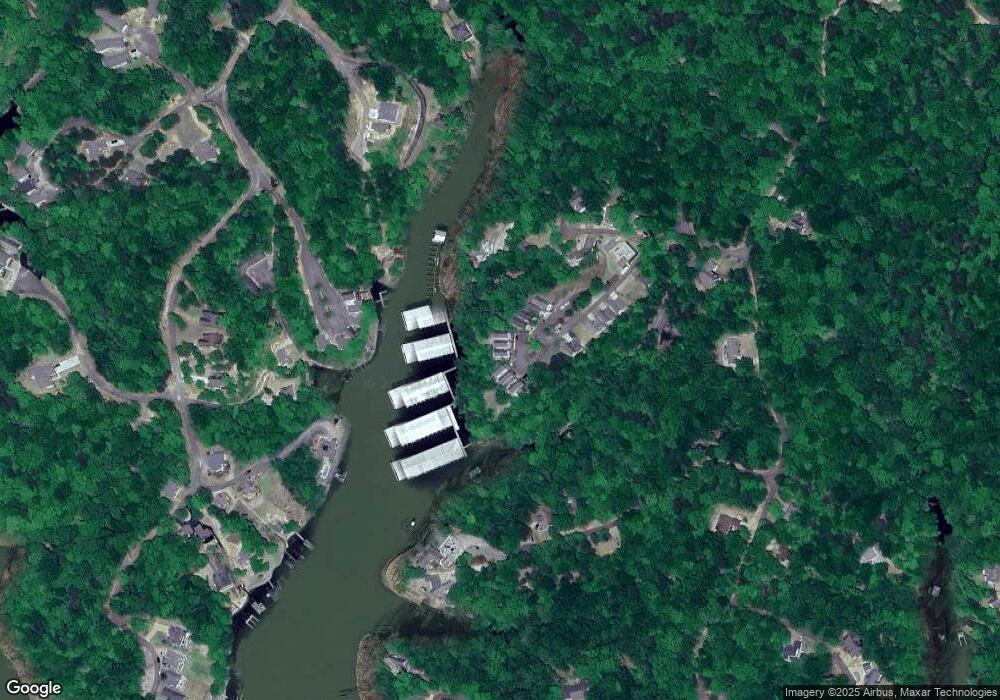
Map
Nearby Homes
- 198 Deer Path Unit 5
- 140 Ridge View Dr
- 0 Ridge View
- 00 Breeze Point
- 3 Breeze Point
- 12 Breeze Point
- 123 Breeze Point
- 6 Breeze Point
- 85 Breeze Point
- 405 Anderson Hollow Rd
- 00 Sailboat Point
- 0 Breeze Point Unit RTC2922640
- 15 Hawks Nest Path
- 525 Sailboat Point
- 1520 Point Grand Dr
- 1240 Point Grand Dr
- 2 Point Grand Dr
- 40 Baileys Way Pointe
- 120 Pier Point
- 8 Captains Cove
- 196 Deer Path
- 200 Deer Path
- 152 Deer Path
- 194 Deer Path
- 189 Deer Path
- 146 Deer Path
- 185 Deer Path
- 140 Deer Path
- 136 Deer Path
- 145 Deer Path
- 130 Buck Rub Cove
- 55 Buck Rub Cove Unit Jacobs
- 55 Buck Rub Cove
- 65 Buck Rub Cove
- 15 Deer Path
- 115 Deer Path
- 45 Buck Rub Cove
- 145 Deer Path St
- 0 Deer Path St Unit 3204762
- 75 Buck Rub Unit Daniels
Your Personal Tour Guide
Ask me questions while you tour the home.