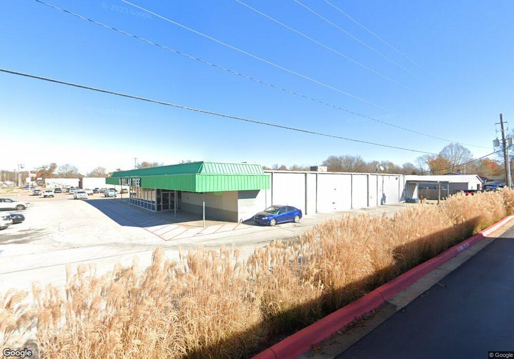
198 N Curtis Ave Pea Ridge, AR 72751
--
Bed
--
Bath
14,820
Sq Ft
1.33
Acres
About This Home
This home is located at 198 N Curtis Ave, Pea Ridge, AR 72751. 198 N Curtis Ave is a home located in Benton County with nearby schools including Pea Ridge Intermediate School, Pea Ridge Primary School, and Pea Ridge Middle School.
Ownership History
Date
Name
Owned For
Owner Type
Purchase Details
Closed on
Sep 27, 2018
Sold by
Commissioner Of State Lands
Bought by
Daniel G Kamin Pea Ridge Llc
Purchase Details
Closed on
Mar 27, 2015
Sold by
Scherer Judith J
Bought by
James Family Properties Lllp
Purchase Details
Closed on
Jul 12, 2002
Bought by
Thomas F James Realty
Purchase Details
Closed on
May 23, 2000
Bought by
Tfj Nominee Trust
Purchase Details
Closed on
Jun 3, 1980
Bought by
Bank 20' X 152'
Create a Home Valuation Report for This Property
The Home Valuation Report is an in-depth analysis detailing your home's value as well as a comparison with similar homes in the area
Home Values in the Area
Average Home Value in this Area
Purchase History
| Date | Buyer | Sale Price | Title Company |
|---|---|---|---|
| Daniel G Kamin Pea Ridge Llc | $17,269 | None Available | |
| James Family Properties Lllp | -- | None Available | |
| Thomas F James Realty | -- | -- | |
| Tfj Nominee Trust | -- | -- | |
| Bank 20' X 152' | -- | -- |
Source: Public Records
Tax History Compared to Growth
Tax History
| Year | Tax Paid | Tax Assessment Tax Assessment Total Assessment is a certain percentage of the fair market value that is determined by local assessors to be the total taxable value of land and additions on the property. | Land | Improvement |
|---|---|---|---|---|
| 2025 | $10,671 | $254,663 | $117,954 | $136,709 |
| 2024 | $10,034 | $254,663 | $117,954 | $136,709 |
| 2023 | $9,122 | $160,310 | $36,730 | $123,580 |
| 2022 | $9,522 | $160,310 | $36,730 | $123,580 |
| 2021 | $9,434 | $160,310 | $36,730 | $123,580 |
| 2020 | $8,955 | $147,280 | $36,730 | $110,550 |
| 2019 | $8,955 | $147,280 | $36,730 | $110,550 |
| 2018 | $8,955 | $147,280 | $36,730 | $110,550 |
| 2017 | $8,380 | $147,280 | $36,730 | $110,550 |
| 2016 | $8,380 | $147,280 | $36,730 | $110,550 |
| 2015 | $5,586 | $98,180 | $42,240 | $55,940 |
| 2014 | $5,586 | $98,180 | $42,240 | $55,940 |
Source: Public Records
Map
Nearby Homes
- 240 N Curtis Ave
- 0 Leetown Rd Unit 545503
- 190 Smith St
- 0 0 25 Acres Smith St Unit 1175131
- 7.23 Acres Curtis Ave
- L 86 B0 Slack St
- L 84 B0 Slack St
- L92, B0 Slack St
- L98, B0 Slack St
- L100, B0 Slack St
- L84, B0 Slack St
- L86, B0 Slack St
- L88, B0 Slack St
- L90, B0 Slack St
- L30, B0 Slack St
- L32, B0 Slack St
- L40, B0 Slack St
- L74, B0 Slack St
- L24, B0 Slack St
- L26, B0 Slack St