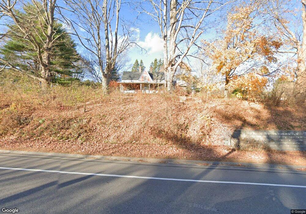
198 New Portland Rd Gorham, ME 04038
Estimated Value: $470,000 - $605,000
3
Beds
2
Baths
2,424
Sq Ft
$217/Sq Ft
Est. Value
About This Home
This home is located at 198 New Portland Rd, Gorham, ME 04038 and is currently estimated at $526,028, approximately $217 per square foot. 198 New Portland Rd is a home located in Cumberland County with nearby schools including Gorham High School.
Ownership History
Date
Name
Owned For
Owner Type
Purchase Details
Closed on
Jul 2, 2007
Sold by
Friel Garth E and Friel Diane G
Bought by
Short Sheri L
Current Estimated Value
Home Financials for this Owner
Home Financials are based on the most recent Mortgage that was taken out on this home.
Original Mortgage
$196,000
Interest Rate
6.24%
Mortgage Type
Unknown
Create a Home Valuation Report for This Property
The Home Valuation Report is an in-depth analysis detailing your home's value as well as a comparison with similar homes in the area
Home Values in the Area
Average Home Value in this Area
Purchase History
| Date | Buyer | Sale Price | Title Company |
|---|---|---|---|
| Short Sheri L | -- | -- |
Source: Public Records
Mortgage History
| Date | Status | Borrower | Loan Amount |
|---|---|---|---|
| Open | Short Sheri L | $224,000 | |
| Closed | Short Sheri L | $196,000 |
Source: Public Records
Tax History Compared to Growth
Tax History
| Year | Tax Paid | Tax Assessment Tax Assessment Total Assessment is a certain percentage of the fair market value that is determined by local assessors to be the total taxable value of land and additions on the property. | Land | Improvement |
|---|---|---|---|---|
| 2024 | $4,306 | $292,900 | $83,600 | $209,300 |
| 2023 | $4,027 | $292,900 | $83,600 | $209,300 |
| 2022 | $3,764 | $292,900 | $83,600 | $209,300 |
| 2021 | $3,787 | $195,200 | $70,200 | $125,000 |
| 2020 | $3,709 | $195,200 | $70,200 | $125,000 |
| 2019 | $3,699 | $195,200 | $70,200 | $125,000 |
| 2018 | $3,553 | $195,200 | $70,200 | $125,000 |
| 2017 | $3,338 | $195,200 | $70,200 | $125,000 |
| 2016 | $3,318 | $195,200 | $70,200 | $125,000 |
| 2015 | $3,182 | $195,200 | $70,200 | $125,000 |
| 2014 | $3,019 | $173,500 | $64,500 | $109,000 |
| 2013 | $3,002 | $173,500 | $64,500 | $109,000 |
Source: Public Records
Map
Nearby Homes
- 197 New Portland Rd
- 14 Joseph Dr
- 52 Hogan Cir Unit 1
- 21 Clearview Dr
- Lot 3A Day Rd
- 0 Cobb Rd
- Lot 10 Newton Dr
- TBD Lochwood Dr
- 49 Lochwood Dr
- 34 Baxter Ln Unit 10
- 53 Lochwood Dr
- Lot 18 Vista Dr
- 8 Western Ave
- 151 South St
- 282 South St
- 280 Longfellow St Unit 17
- 280 Longfellow St Unit 9
- 52 Morrill Ave
- 195 Falcon Crest Dr Unit 34
- 193 Falcon Crest Dr Unit 33
- 191 New Portland Rd
- 190 New Portland Rd
- 186 New Portland Rd
- 11 Libby Ave
- 35 Libby Ave
- 185 New Portland Rd
- 44 Libby Ave
- 59 Libby Ave Unit 45
- 59 Libby Ave Unit 52
- 59 Libby Ave
- 9 Juneau Way
- 17 Black Brook Rd
- 177 New Portland Rd
- 43 Libby Ave
- 27 Black Brook Rd
- 5 Black Brook Rd
- 24 Juneau Way
- 4 Brackett Rd
- Lot3/4 Brackett Rd
- 180 New Portland Rd