Estimated Value: $322,000 - $534,000
4
Beds
3
Baths
2,729
Sq Ft
$155/Sq Ft
Est. Value
About This Home
This home is located at 1980 Cherry Grove Rd, Terry, MS 39170 and is currently estimated at $421,806, approximately $154 per square foot. 1980 Cherry Grove Rd is a home located in Hinds County with nearby schools including Gary Road Elementary School, Gary Road Intermediate School, and Byram Middle School.
Ownership History
Date
Name
Owned For
Owner Type
Purchase Details
Closed on
Oct 4, 2021
Sold by
Lindsay Charles W and Lindsay Kay B
Bought by
Lindsay Charles W and Lindsay Kay B
Current Estimated Value
Home Financials for this Owner
Home Financials are based on the most recent Mortgage that was taken out on this home.
Original Mortgage
$160,000
Outstanding Balance
$145,588
Interest Rate
2.8%
Mortgage Type
Purchase Money Mortgage
Estimated Equity
$276,218
Create a Home Valuation Report for This Property
The Home Valuation Report is an in-depth analysis detailing your home's value as well as a comparison with similar homes in the area
Home Values in the Area
Average Home Value in this Area
Purchase History
| Date | Buyer | Sale Price | Title Company |
|---|---|---|---|
| Lindsay Charles W | -- | None Available |
Source: Public Records
Mortgage History
| Date | Status | Borrower | Loan Amount |
|---|---|---|---|
| Open | Lindsay Charles W | $160,000 |
Source: Public Records
Tax History Compared to Growth
Tax History
| Year | Tax Paid | Tax Assessment Tax Assessment Total Assessment is a certain percentage of the fair market value that is determined by local assessors to be the total taxable value of land and additions on the property. | Land | Improvement |
|---|---|---|---|---|
| 2025 | $1,480 | $19,800 | $2,732 | $17,068 |
| 2024 | $1,480 | $19,805 | $2,737 | $17,068 |
| 2023 | $1,480 | $27,840 | $2,959 | $24,881 |
| 2022 | $3,275 | $27,814 | $2,933 | $24,881 |
| 2021 | $1,446 | $19,785 | $2,717 | $17,068 |
| 2020 | $1,398 | $19,576 | $2,805 | $16,771 |
| 2019 | $1,380 | $19,500 | $2,729 | $16,771 |
| 2018 | $1,372 | $19,427 | $2,656 | $16,771 |
| 2017 | $1,310 | $19,350 | $2,579 | $16,771 |
| 2016 | $1,310 | $19,172 | $2,401 | $16,771 |
| 2015 | $1,331 | $19,354 | $2,237 | $17,117 |
| 2014 | $1,290 | $19,205 | $2,088 | $17,117 |
Source: Public Records
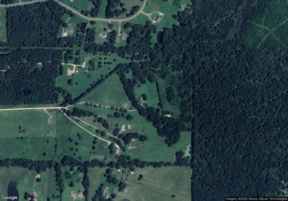
Map
Nearby Homes
- 1960 Cherry Grove Rd
- 1462 Hickory Ln
- 0001 Hickory Ln
- 0 S Highway 55 Unit 4124213
- 0 Volley Campbell Rd Unit 4099151
- 0 Edward Owens Dr Unit 4118146
- 1020 Jack Johnson Rd
- 3340 Volley Campbell Rd
- 3148 Volley Campbell Rd
- 0 Frontage Rd Unit 4109381
- 115 Railroad Ave
- 136 N Utica St
- 18899 Midway Rd
- 218 N Utica St
- 310 N Utica St
- 1155 Craig Dr
- 000 Green Gable Rd
- 1012 Kern Ln
- 00 Sartoris Cove
- 0 Absalom Cove Unit 4121684
- 1974 Cherry Grove Rd
- 1970 Cherry Grove Rd
- 113 Maxwell Cove
- 2120 Cherry Grove Rd
- 109 Maxwell Cove
- 117 Maxwell Cove
- 134 Maxwell Cove
- 126 Maxwell Cove
- 125 Maxwell Cove
- 121 Maxwell Cove
- 101 Maxwell Cove
- 133 Maxwell Cove
- 122 Maxwell Cove
- 105 Maxwell Cove
- 1321 Lewis Ln
- 1268 Lewis Ln
- 165 Edward Owens Dr
- 0 Maxwell Cove Unit 16 251171
- 0 Maxwell Cove Unit 16 1251171
- 0 Maxwell Cove Unit 1251171