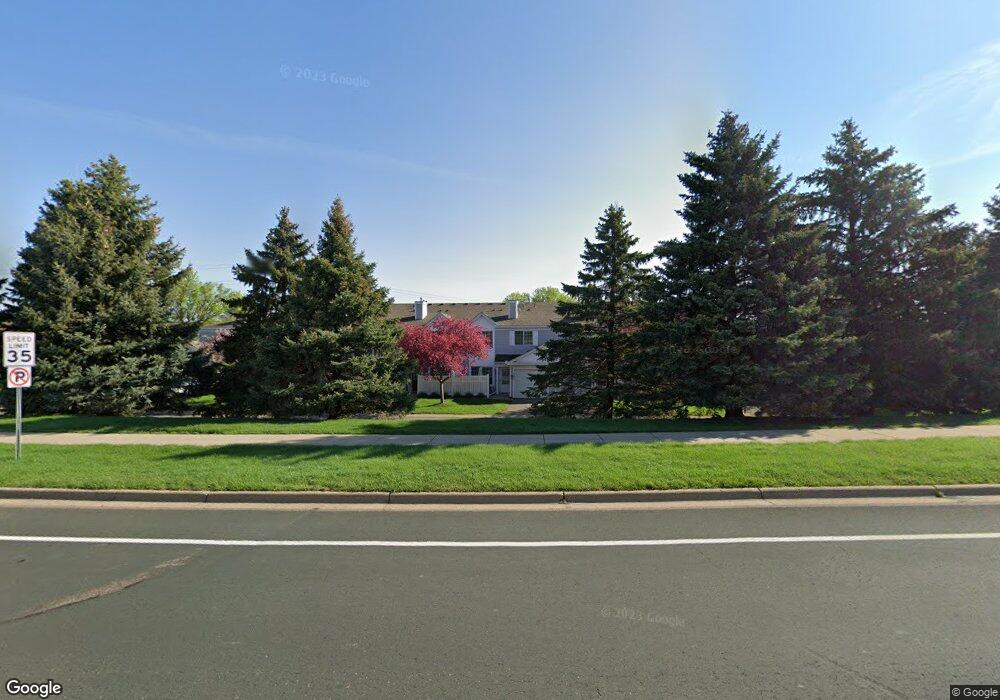
1980 Jan Echo Trail Saint Paul, MN 55122
Estimated Value: $225,000 - $269,000
2
Beds
2
Baths
1,052
Sq Ft
$225/Sq Ft
Est. Value
About This Home
This home is located at 1980 Jan Echo Trail, Saint Paul, MN 55122 and is currently estimated at $236,753, approximately $225 per square foot. 1980 Jan Echo Trail is a home located in Dakota County with nearby schools including Oak Ridge Elementary School, Black Hawk Middle School, and Eastview Senior High School.
Ownership History
Date
Name
Owned For
Owner Type
Purchase Details
Closed on
Oct 7, 2021
Sold by
Harris Aaron Thomas
Bought by
Bharrat Michael and Seidl Brandon
Current Estimated Value
Home Financials for this Owner
Home Financials are based on the most recent Mortgage that was taken out on this home.
Original Mortgage
$198,389
Interest Rate
3.09%
Mortgage Type
New Conventional
Purchase Details
Closed on
Feb 22, 2019
Sold by
Niedermeier Meaghan E and Niedermeier Kurt J
Bought by
Harris Aaron Thomas
Home Financials for this Owner
Home Financials are based on the most recent Mortgage that was taken out on this home.
Original Mortgage
$161,500
Interest Rate
4.4%
Mortgage Type
New Conventional
Purchase Details
Closed on
Apr 29, 2005
Sold by
Hurit Amy
Bought by
Jensen Meaghan E
Purchase Details
Closed on
Apr 27, 2001
Sold by
Schramm Steven B and Schramm Katherine E
Bought by
Hunt Amy R
Create a Home Valuation Report for This Property
The Home Valuation Report is an in-depth analysis detailing your home's value as well as a comparison with similar homes in the area
Home Values in the Area
Average Home Value in this Area
Purchase History
| Date | Buyer | Sale Price | Title Company |
|---|---|---|---|
| Bharrat Michael | $207,000 | On Site Title | |
| Harris Aaron Thomas | $170,000 | Burnet Title | |
| Jensen Meaghan E | $163,255 | -- | |
| Hunt Amy R | $123,800 | -- |
Source: Public Records
Mortgage History
| Date | Status | Borrower | Loan Amount |
|---|---|---|---|
| Previous Owner | Bharrat Michael | $198,389 | |
| Previous Owner | Harris Aaron Thomas | $161,500 |
Source: Public Records
Tax History Compared to Growth
Tax History
| Year | Tax Paid | Tax Assessment Tax Assessment Total Assessment is a certain percentage of the fair market value that is determined by local assessors to be the total taxable value of land and additions on the property. | Land | Improvement |
|---|---|---|---|---|
| 2024 | $2,128 | $211,000 | $40,100 | $170,900 |
| 2023 | $2,128 | $209,300 | $39,800 | $169,500 |
| 2022 | $1,892 | $211,500 | $39,700 | $171,800 |
| 2021 | $1,706 | $183,200 | $34,500 | $148,700 |
| 2020 | $1,654 | $164,100 | $32,900 | $131,200 |
| 2019 | $1,617 | $156,000 | $31,300 | $124,700 |
| 2018 | $1,496 | $143,800 | $29,000 | $114,800 |
| 2017 | $1,514 | $128,700 | $26,300 | $102,400 |
| 2016 | $1,493 | $124,100 | $25,100 | $99,000 |
| 2015 | $1,322 | $121,300 | $24,100 | $97,200 |
| 2014 | -- | $109,200 | $22,600 | $86,600 |
| 2013 | -- | $99,200 | $20,300 | $78,900 |
Source: Public Records
Map
Nearby Homes
- 1942 Grant Alcove Unit 65
- 1917 Jan Echo Trail
- 1866 Bear Path Trail
- 4290 Blackhawk Rd
- 2008 Zircon Ln
- 4241 Blackhawk Rd
- 1924 Sapphire Point Unit 97
- 1902 Sapphire Point Unit 110
- 4130 Rahn Rd Unit B111
- 4130 Rahn Rd Unit 209
- 4682 Lenore Ln
- 2079 Garnet Ln
- 4110 Rahn Rd Unit 215
- 4110 Rahn Rd Unit 312
- 4413 Slater Rd
- 4429 Slater Rd
- 2074 Carnelian Ln
- 2026 Safari Heights Trail
- 4632 Westwood Ln
- 2208 Liberty Ln
- 1980 Jan Echo Trail Unit 4
- 1982 Jan Echo Trail Unit 3
- 1978 Jan Echo Trail
- 1978 Jan Echo Trail Unit 5
- 4466 Glen Echo Bay Unit 9
- 1984 Jan Echo Trail Unit 2
- 4464 Glen Echo Bay Unit 10
- 4468 Glen Echo Bay Unit 8
- 1976 Jan Echo Trail
- 4462 Glen Echo Bay
- 4470 Glen Echo Bay Unit 7
- 1986 Jan Echo Trail Unit 1
- 4460 Glen Echo Bay
- 1975 Jan Echo Trail
- 1975 Jan Echo Trail Unit 54
- 1966 Overland Cir Unit 55
- 1968 Overland Cir
- 1973 Jan Echo Trail
- 1970 Overland Cir Unit 507
- 1989 Glen Echo Bay