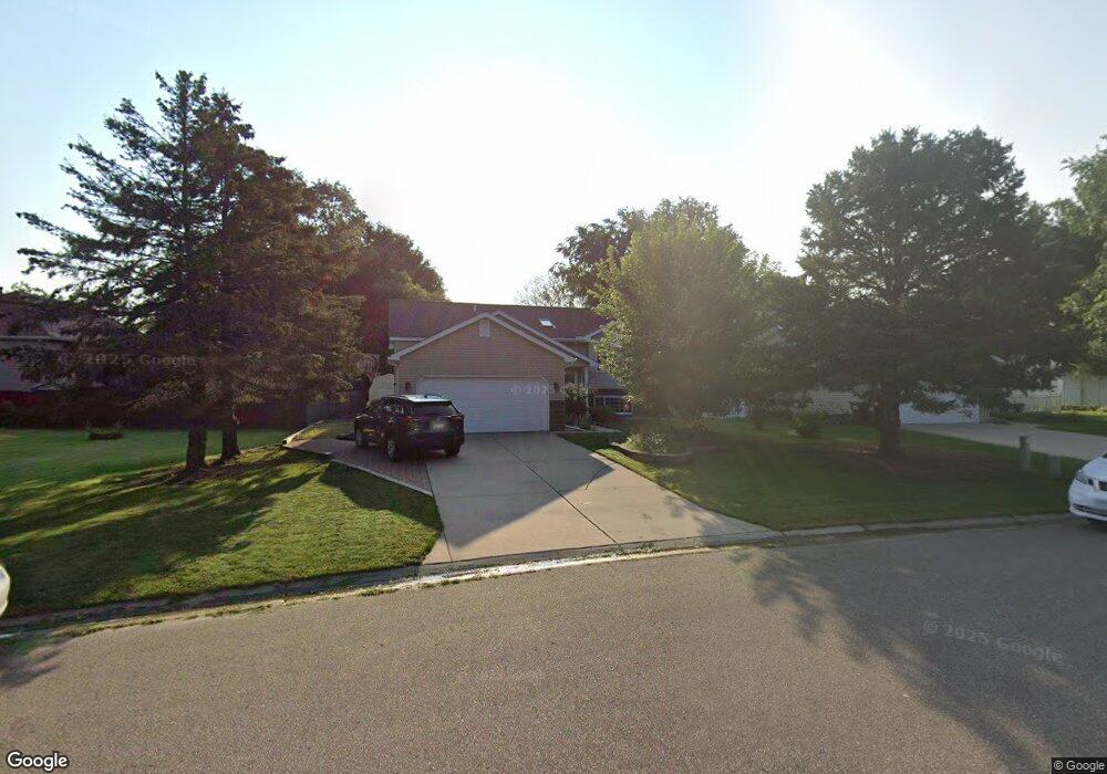
1981 Heath Ave N Saint Paul, MN 55128
Estimated Value: $406,000 - $409,000
3
Beds
2
Baths
2,251
Sq Ft
$181/Sq Ft
Est. Value
About This Home
This home is located at 1981 Heath Ave N, Saint Paul, MN 55128 and is currently estimated at $407,552, approximately $181 per square foot. 1981 Heath Ave N is a home located in Washington County with nearby schools including Eagle Point Elementary School, Skyview Community Middle School, and Tartan Senior High School.
Ownership History
Date
Name
Owned For
Owner Type
Purchase Details
Closed on
Oct 16, 2020
Sold by
Berth Nadine Francine and Schuster Gerald A
Bought by
Berth Nadine F and Schuster Gerald A
Current Estimated Value
Purchase Details
Closed on
Jun 1, 2012
Sold by
Grootaert Werner Marie Achilles
Bought by
Berth Nadine Francine
Create a Home Valuation Report for This Property
The Home Valuation Report is an in-depth analysis detailing your home's value as well as a comparison with similar homes in the area
Home Values in the Area
Average Home Value in this Area
Purchase History
| Date | Buyer | Sale Price | Title Company |
|---|---|---|---|
| Berth Nadine F | -- | None Available | |
| Berth Nadine Francine | -- | None Available | |
| Price Jodi Jodi | $335,000 | -- |
Source: Public Records
Mortgage History
| Date | Status | Borrower | Loan Amount |
|---|---|---|---|
| Closed | Price Jodi Jodi | $327,295 |
Source: Public Records
Tax History Compared to Growth
Tax History
| Year | Tax Paid | Tax Assessment Tax Assessment Total Assessment is a certain percentage of the fair market value that is determined by local assessors to be the total taxable value of land and additions on the property. | Land | Improvement |
|---|---|---|---|---|
| 2024 | $4,322 | $376,800 | $135,000 | $241,800 |
| 2023 | $4,322 | $370,600 | $130,000 | $240,600 |
| 2022 | $3,424 | $343,100 | $124,500 | $218,600 |
| 2021 | $3,132 | $289,300 | $105,000 | $184,300 |
| 2020 | $3,148 | $266,100 | $101,000 | $165,100 |
| 2019 | $2,874 | $263,000 | $96,000 | $167,000 |
| 2018 | $2,614 | $242,800 | $90,000 | $152,800 |
| 2017 | $2,640 | $223,300 | $80,000 | $143,300 |
| 2016 | $2,428 | $214,700 | $74,000 | $140,700 |
| 2015 | $2,428 | $190,500 | $64,700 | $125,800 |
| 2013 | -- | $159,900 | $52,900 | $107,000 |
Source: Public Records
Map
Nearby Homes
- 1920 Heath Ave N
- 7697 Upper 20th St N
- 2181 Helena Rd N
- 1754 Helena Rd N
- 2232 Homestead Ave N
- 1612 Helena Rd N
- 2404 Helena Ave N
- 1580 Helmo Ave N Unit 1580
- 7018 19th St N Unit 1
- 7492 Upper 24th St N
- 7523 15th Street Ln N
- 7061 Upper 17th St N
- 2569 Hayward Ave N
- 7602 26th St N
- 7634 13th St N
- 7662 13th St N Unit 1904
- 1310 Hilo Ave N
- 2610 Hydram Ave N
- 1315 Holly Ave N
- 2033 Gresham Ave N
- 7531 Upper 20th St N
- 7517 Upper 20th St N
- 1982 Helmo Ave N
- 1957 Heath Ave N
- 1970 Helmo Ave N
- 7545 Upper 20th St N
- 1980 Heath Ave N
- 1958 Helmo Ave N
- 1968 Heath Ave N
- 1945 Heath Ave N
- 7501 Upper 20th St N
- 1956 Heath Ave N
- 7530 Upper 20th St N
- 1933 Heath Ave N
- 7516 Upper 20th St N
- 1944 Heath Ave N
- 7594 Upper 19th St N
- 7508 Upper 20th St N
- 1934 Helmo Ave N
- 2051 Helmo Ave N